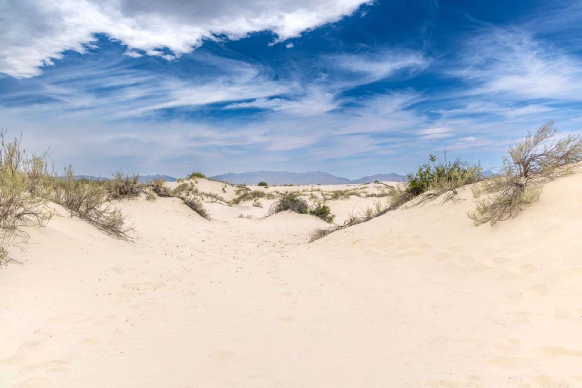
Sigatoka Sand Dunes National Park
"Archaeologists have pulled 2,600-year-old skeletons out of these dunes. From the ridge, it just looks like sand and wind, which is the trick of the place."
Fiji's first national park, a wind-sculpted dune system hiding one of the South Pacific's most significant archaeological burial sites.
I’d driven past the turnoff for the Sigatoka Sand Dunes half a dozen times on the coast road before actually stopping, mostly because “sand dunes” sounded like a modest attraction compared to everything else competing for attention on the Coral Coast. That was a mistake I corrected on our last week in Fiji, and I regretted not going sooner. The park sits at the mouth of the Sigatoka River, a five-kilometre stretch of dunes built up over some five thousand years by wind and river sediment, some rising over sixty metres, and it holds the distinction of being Fiji’s very first national park, gazetted in 1989 specifically to protect what turned out to be one of the most important archaeological sites in the South Pacific.
The dunes have been eroding and re-exposing burial sites for decades, and archaeologists have recovered human remains here dating back roughly 2,600 years, alongside pottery shards linked to the Lapita people, the seafaring culture generally credited as the first human settlers of Fiji and much of the wider Pacific. The visitor center does a solid job explaining the finds without overselling them, and a ranger who walked the main trail with us pointed out where more recent finds had washed out of the dune face after a cyclone, fragments of pottery just sitting exposed in the sand like something that had surfaced rather than been dug for.
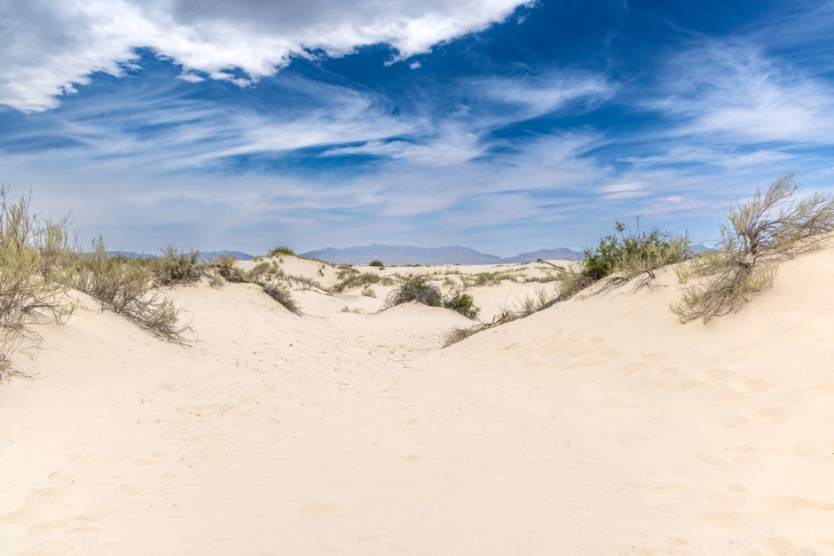
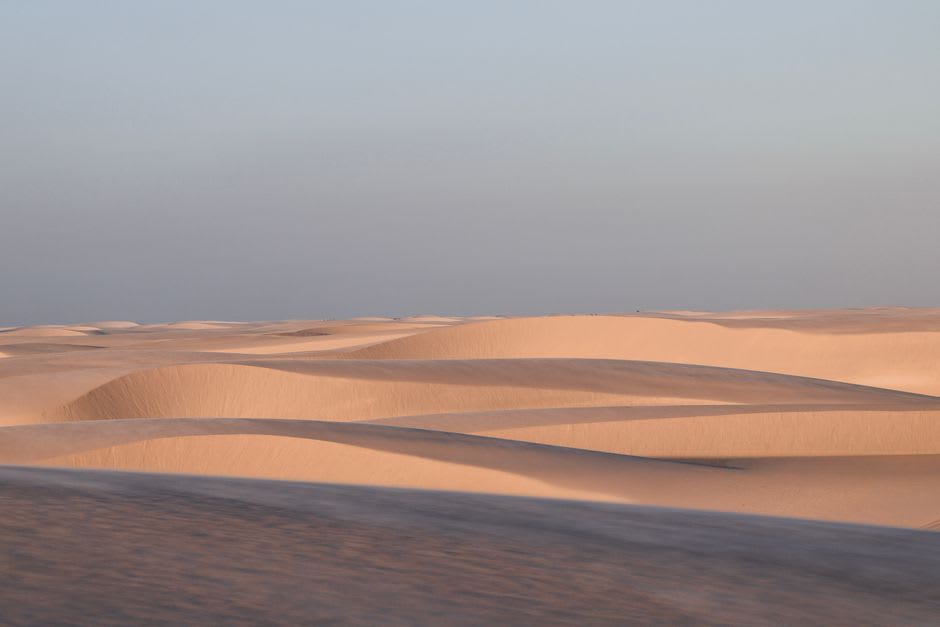
Climbing the main ridge takes maybe forty minutes in the heat, through coastal forest that thins out into scrub and then bare sand, and the payoff at the top is genuinely disorienting — a rolling expanse of pale dunes with the deep blue of the open Pacific on one side and the green delta of the Sigatoka River mouth on the other, wind constantly reshaping the ridgelines so the exact contour of the landscape is different from one visit to the next. Lia pointed out that it looked more like a stretch of the Sahara than anything she’d expect on a tropical island, and the ranger said that comparison gets made often enough that he’s stopped finding it funny.
The beach at the base of the dunes has a strong undertow and isn’t set up for swimming, which keeps the whole park refreshingly free of the beach-day crowds that fill nearby Sigatoka Town’s riverfront on weekends — most of what traffic there is comes for the hike and the history, not the water.
When to go: Open year-round, but early morning during the dry season, May through October, gives the coolest conditions for the ridge climb and the best light for photographing the dune contours. Avoid midday in the wet season when the sand holds heat and afternoon storms roll in fast off the ocean.