Moturiki Island
"We waited forty minutes on a jetty for the tide to drop enough to walk across, and it turned out to be the most relaxing forty minutes of the week."
A small island just off Ovalau, connected to it by a shallow causeway at low tide, where a scatter of villages and an unhurried coastline make for one of the easiest day trips in the Lomaiviti group.
Moturiki lies just off the southern coast of Ovalau, close enough that at low tide a sandy, reef-strewn causeway emerges between the two islands and locals simply walk across rather than bothering with a boat. We’d heard about this from the guesthouse owner in Levuka, who drew us a rough tide chart on a napkin and told us, with the confidence of someone who’d done it a hundred times, exactly which hour to aim for. We got the timing slightly wrong, waited on a jetty in Ovalau’s south for the water to drop, and crossed on foot over wet sand and exposed coral rubble with our shoes tied around our necks.
The island itself is small and quiet, home to a handful of villages connected by a single dirt track, with almost no tourism infrastructure beyond a couple of families who occasionally host visitors informally. We spent an afternoon with a family in the village of Uluibau, who fed us a lunch of fish wrapped in banana leaf and cooked over an open fire, and whose eldest daughter, a schoolteacher home for the weekend, walked us around the village explaining which houses belonged to which families and how the village council structure worked, patiently answering questions I suspect she’d answered for other visitors before.
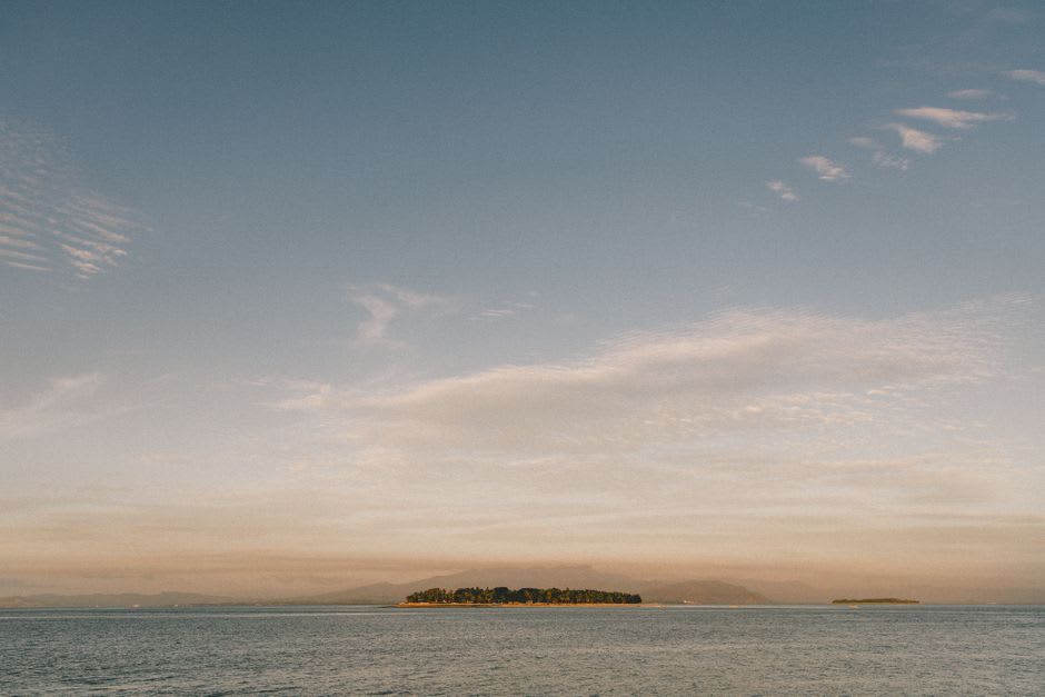
Moturiki’s coastline is unremarkable in the postcard sense — no dramatic cliffs, no famous dive site — and that turned out to be exactly what made it restful. We walked a loop around much of the island’s accessible perimeter in a single afternoon, past mangrove stands, small coves where fishing boats sat pulled up on the sand, and a single crumbling stone foundation that Lia’s photograph-scrolling later revealed to be the remains of an old mission building, unmarked and unmentioned by anyone we’d spoken to.
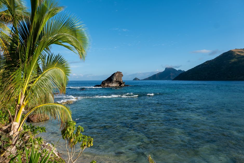
We crossed back to Ovalau at the next low tide window, timed properly this time, wading through knee-deep water with our bags held over our heads and the causeway’s exposed coral crunching underfoot in a way that felt, oddly, like a fitting way to end a very unhurried day.
When to go: May through October for the driest walking conditions and most predictable low tides. Check tide charts locally in Levuka before planning your crossing, since the causeway is only walkable within a narrow window either side of low tide.
Keep exploring
More from Fiji
 fiji
fiji Muanivanua Peninsula
The remote, wind-battered eastern tip of Kadavu, where the Great Astrolabe Reef meets open ocean and a lighthouse keeper's family are among the only permanent residents.
Explore fiji
fiji Nabouwalu
The unglamorous ferry port on Vanua Levu's west coast where the roll-on roll-off boats to Viti Levu leave from, and where waiting for a delayed sailing taught me more about Fijian patience than any guidebook could.
Explore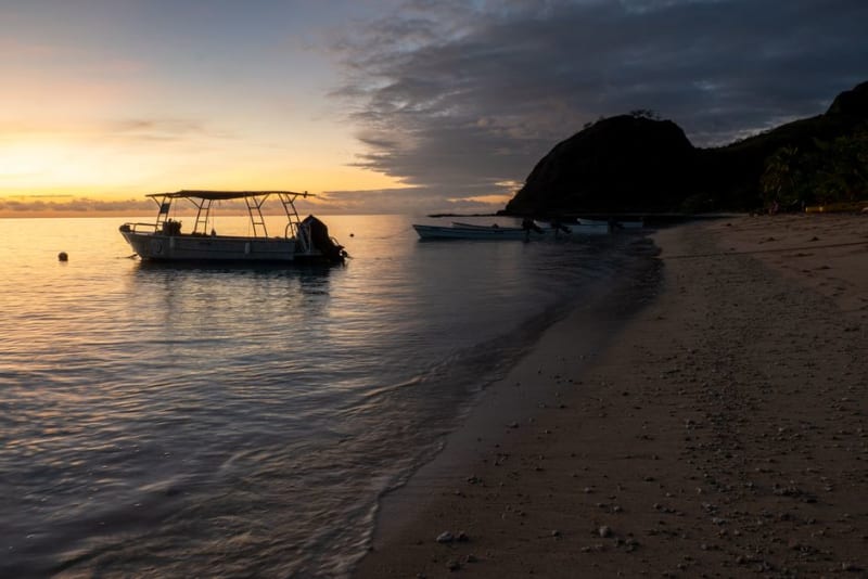 fiji
fiji Nabukelevu
The extinct volcano that dominates Kadavu's western skyline, known to sailors for centuries as Mount Washington, and the traditional villages that still regard its crater with real reverence.
Explore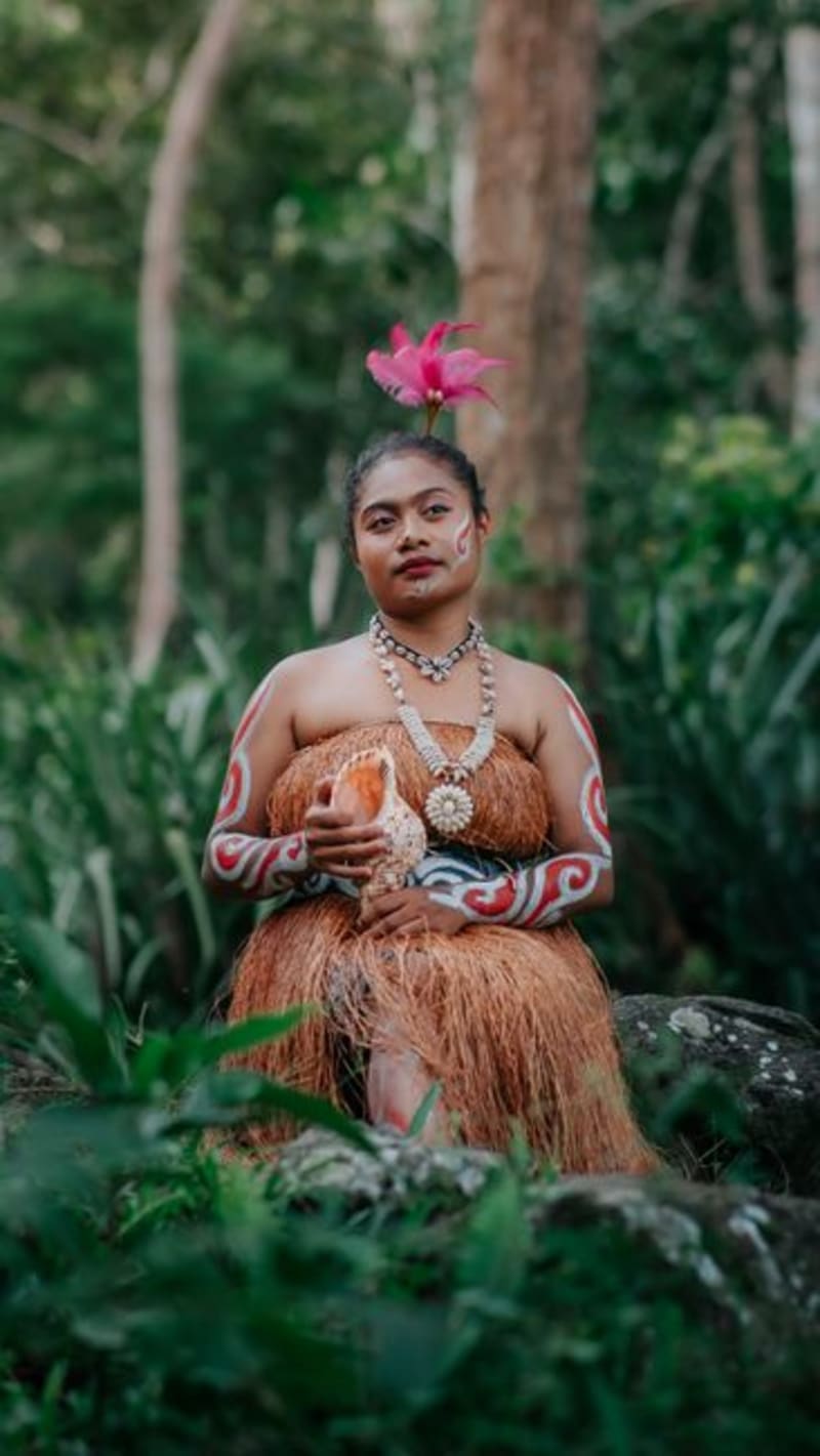 fiji
fiji Nacula Island
The northernmost major island in the Yasawas, where a scatter of volcanic islets called the Bay of Islands and a stretch of empty beach called Long Beach earn their plain descriptive names.
Explore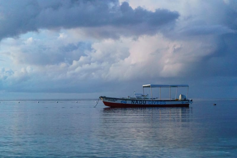 fiji
fiji Nadi
Fiji's chaotic, colourful gateway where Hindu temples and duty-free shops exist in complete, unapologetic harmony.
Explore fiji
fiji Naigani Island
A hilly, forested island off Viti Levu's east coast with one resort, one village, and reef walks that feel private even though nothing is stopping anyone else from being there.
Explore