Nakfa
"A country named its currency after this town. Once you see it, that makes complete sense."
The road to Nakfa is the point at which Eritrea stops being a conventional travel destination and becomes something else — a journey into the memory of a war that lasted thirty years and produced a country as its conclusion. The drive north from Keren takes four to five hours on a road that climbs into increasingly stark mountain terrain, all granite and scrub and tremendous views down into valleys so remote they seem uninvented. At some point the road enters territory that was a front line for decades, and you become aware of this not from any signage but from the character of the landscape itself — the abandoned positions, the occasional rusted equipment half-swallowed by vegetation, the quality of the silence.
Nakfa was the EPLF’s last holdout, the mountain town that Ethiopian forces besieged repeatedly across the 1970s and 80s and could never take. The people of Nakfa — and the fighters who held it — responded to this by going underground. Literally. The town was hollowed out of the granite, its hospital, its workshops, its radio station, and eventually its command structure relocated into tunnels cut into the mountain. The above-ground town was shelled into rubble. The below-ground town kept functioning.

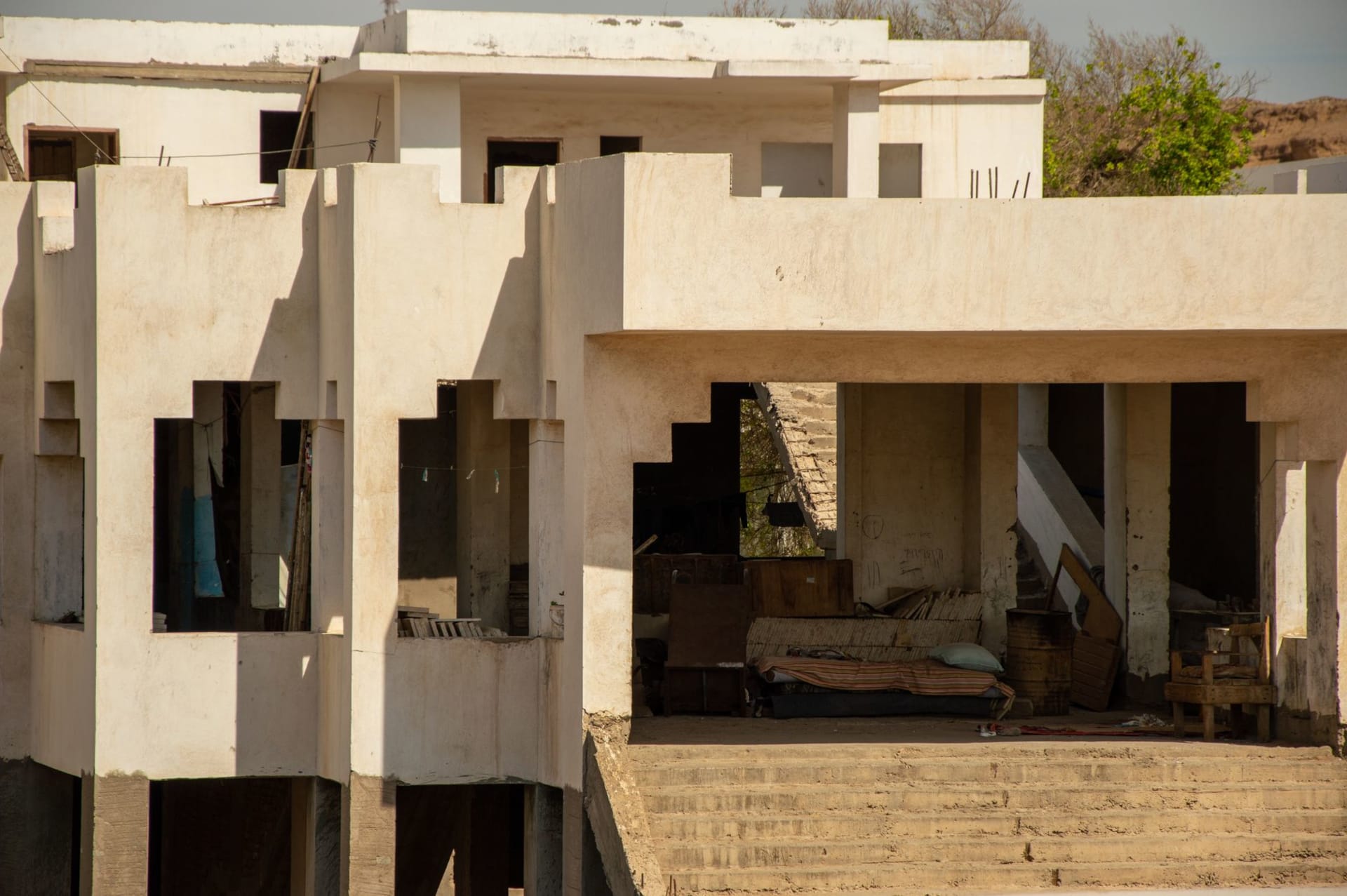
What remains now is a small, quiet town rebuilt after independence, with a particular atmosphere — not haunted exactly, but weighted. The Eritrean currency is called the nakfa; there is no more direct way a country can honor a place. I visited the tunnels with a local guide, an older man who had been here during the war and spoke about the experience with a flat matter-of-factness that was more affecting than any emotional narration would have been. The hospital tunnel is the most striking: carved rooms off a central corridor, ventilation shafts punched through the rock, everything scaled for function and nothing for comfort, and yet it worked. People recovered from surgery here. Babies were born here.
The landscape around Nakfa is the kind of beautiful that requires no assistance — massive granite formations, deep valleys, light that in the late afternoon comes horizontal and turns the rock into something close to bronze. I walked for two hours above the town without seeing another person, following a path that the guide assured me led somewhere but that I never quite confirmed. The path ended at a viewpoint where three valleys converged below me and the Sahel region stretched north toward Sudan, and I sat there long enough to eat the bread and cheese I’d brought and watch the shadows move across the terrain below.

There is a guesthouse in Nakfa and restaurants that serve whatever was available that day — usually injera with a meat or lentil stew, tea afterwards, and nothing superfluous. The town itself is very small and not set up for visitors in any meaningful sense. People are polite and faintly curious about your reasons for coming this far. I said I wanted to understand the war better, which was true, and people nodded as if this was a reasonable explanation that required no further elaboration.
When to go: October through April. The road becomes difficult in the rains. The altitude here is lower than Asmara and the terrain more exposed, so temperatures can swing significantly between day and night. Go with a driver who knows the road — not a negotiable suggestion.