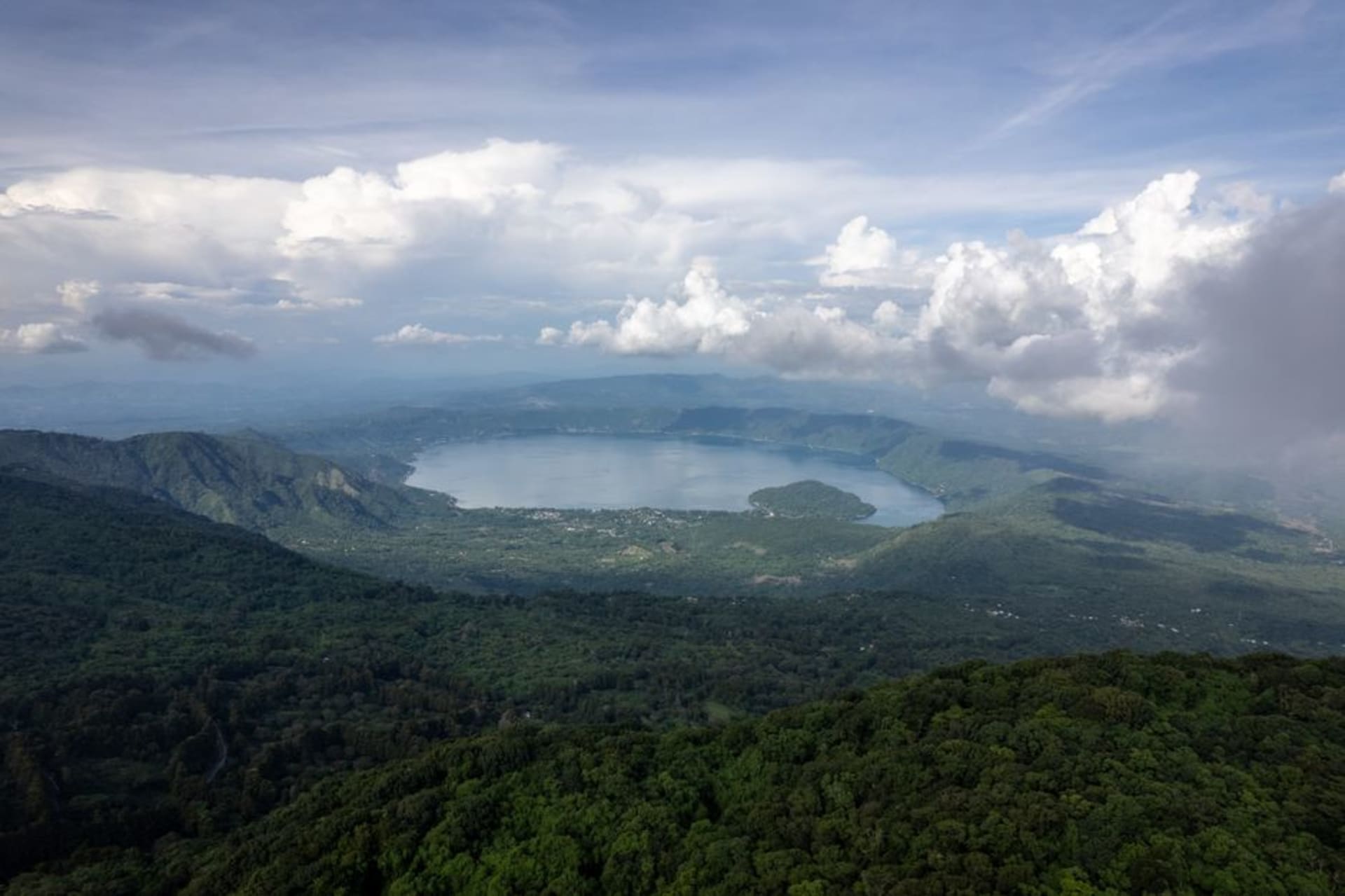
El Boquerón National Park
"I stood on the rim of the crater that the entire capital lives beside, and for a moment San Salvador looked almost peaceful from up there."
The crater rim above San Salvador, with a smaller cone slumbering inside the main one and a view of the capital sprawled out below like a map come to life.
The drive up from San Salvador to El Boquerón takes less than an hour but feels like changing continents — the traffic and diesel fumes of the city give way, switchback by switchback, to pine forest and noticeably cooler air, and by the time I reached the park entrance the temperature had dropped enough that I was glad for a jacket. El Boquerón National Park sits inside the crater of the Volcán de San Salvador, the same mountain that looms over the capital in every postcard, and the short, well-maintained trail from the parking area to the main viewpoint took me maybe fifteen minutes, past ferns and pine needles crunching underfoot in a way that felt distinctly un-tropical.
A crater within a crater
What I hadn’t expected, even having read about it beforehand, was the scale of what’s actually inside the main crater. It isn’t a simple bowl — a secondary cone, formed by a later eruption in 1917, sits inside the larger crater like a smaller mountain nested inside its parent, its own slopes covered in dense green forest that has reclaimed most of the bare rock over the intervening century. Looking down into that inner crater, roughly a kilometer and a half wide and over five hundred meters deep, gave me a strange sense of geological time compressed into something visible in a single glance — the older, wider crater from some ancient cataclysmic eruption, and inside it this younger cone, itself now over a hundred years dormant and thoroughly wooded.
The city, from above and slightly outside of it
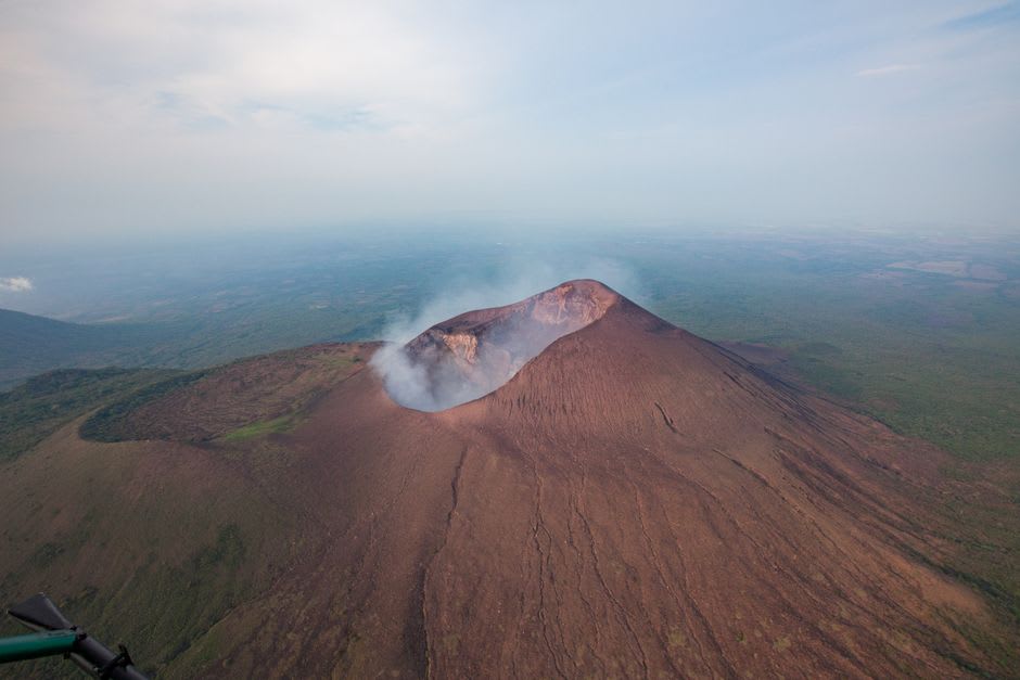
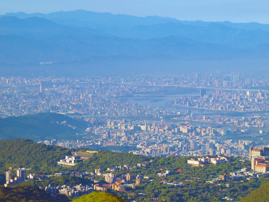
The other reason to make the trip is the view back toward San Salvador itself, which from the park’s outer viewpoints spreads out below in a haze of rooftops and traffic that, from this distance and altitude, loses all its noise. I could pick out the general direction of the historic center, the dense grid of Bulevar de los Héroes, the scattered green patches of the wealthier neighborhoods further out. A ranger doing trail maintenance nearby told me he grew up in a village on the volcano’s lower slopes and commuted up to work the park every day, effectively living inside the crater’s shadow his whole life. He said the fog rolls in most afternoons and swallows the view within an hour or two, which is why he always recommends visiting before noon. I took his advice on the way out and caught the last clear light before the clouds arrived, right on schedule.
The trails here are short and mostly flat, more of a nature walk than a hike, which makes it an easy half-day trip from the capital even if you’re short on time or stamina. It’s also, oddly, one of the more tranquil places I found near San Salvador — the crowds are thin on weekdays and the forest muffles the city’s noise almost entirely.
When to go: Weekday mornings before the afternoon fog rolls in, year-round, though the dry season from November to April offers the clearest views of San Salvador below.