Apaneca
"I put on a jacket in El Salvador for the first time in Apaneca, and it felt like a small miracle."
The highest and coolest town on the Route of Flowers, where coffee cooperatives and a zip line through the canopy make for the rare highland stop that wants you to move rather than linger.
I noticed the temperature before I noticed the town. Coming up from Ahuachapán, the road climbs and climbs, and somewhere past the last curve the heat that defines most of El Salvador just quietly leaves the car. By the time I parked in Apaneca’s small central square, I had goosebumps, and I found myself digging a fleece out of the bottom of my bag for the first time in weeks. At over 1,400 meters, Apaneca is the highest town on the Route of Flowers, and it wears that altitude openly — mist clings to the surrounding hills most mornings, the coffee plants along every slope look impossibly healthy, and the air smells like wet earth and woodsmoke rather than the coastal salt I’d gotten used to.
Coffee that isn’t a show
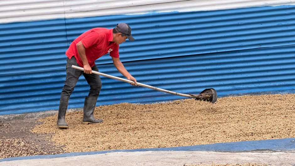
The area around Apaneca produces some of El Salvador’s best coffee, and unlike a few of the more polished agro-tourism operations I’d seen elsewhere on the route, the cooperative I visited felt genuinely functional rather than staged for visitors. A woman named Reina walked me through the wet mill, past concrete fermentation tanks and drying patios where beans were raked into thin lines by two men who barely looked up from their radio. She let me chew a raw coffee cherry, sweet and mucilaginous around the seed, nothing like the bitter drink it becomes. Then we sat on plastic chairs on her porch and drank cups so fresh they’d been roasted that same morning, and she told me her family had been growing coffee on this slope for three generations, through war, through hurricanes, through the price crashes that nearly wiped out Salvadoran coffee in the 2000s. “The mountain doesn’t care about any of that,” she said. “It just keeps growing coffee.”
The zip line, or, screaming above the canopy
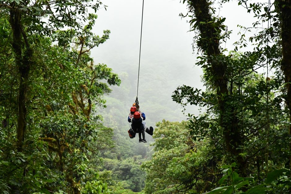
Apaneca is also the one town on the route where you can do something genuinely adrenaline-adjacent, and after two days of slow, contemplative coffee tours I was ready for it. The canopy zip line just outside town strings a dozen cables across a forested ravine, and the longest run drops you out over a stretch of cloud forest with nothing below but treetops and, somewhere far down, the sound of a stream I never actually saw. I am not, generally, someone who enjoys heights, and I screamed on the third line in a way that made the guide laugh so hard he had trouble clipping in the next carabiner. It was over in ninety seconds and I wanted to do it again immediately.
Apaneca itself, the town proper, is small enough to walk end to end in fifteen minutes — a plaza, a modest colonial church, a handful of restaurants serving grilled meats and thick corn drinks meant for cold nights. It doesn’t try to compete with Ataco’s murals or Juayúa’s food festival. It just sits up in the clouds, growing coffee, and lets the temperature do the talking.
When to go: December and January for the coolest, clearest mornings and the tail end of coffee harvest, when the cooperatives are at their most active. Bring a real jacket — this is the one place in El Salvador where you’ll actually need it.
Keep exploring
More from El Salvador
 el-salvador
 Concepción de Ataco
A Route of Flowers town that turned every blank wall into a mural, best experienced on a Saturday morning when the artisan market spills out from the plaza in every direction.
Explore el-salvador
 Bahía de Jiquilisco
El Salvador's largest mangrove estuary, where oyster fishermen work tidal channels that also happen to be a Ramsar-protected turtle nursery.
Explore el-salvador
 Berlín, El Salvador
A modest highland coffee town whose only real link to its European namesake is a shared name and a certain steady, unhurried composure.
Explore el-salvador
 Conchagua Volcano
A quiet cone above the Gulf of Fonseca where a single summit view stitches three countries together in one glance.
Explore el-salvador
 El Boquerón National Park
The crater rim above San Salvador, with a smaller cone slumbering inside the main one and a view of the capital sprawled out below like a map come to life.
Explore el-salvador
 El Cuco
A sleepy eastern fishing town where the beach stretches wide and empty and nobody is in a hurry to change that.
Explore