
Santo Antão
"The valley dropped so far below me that I could see clouds forming inside it. I had not known that was something that could happen."
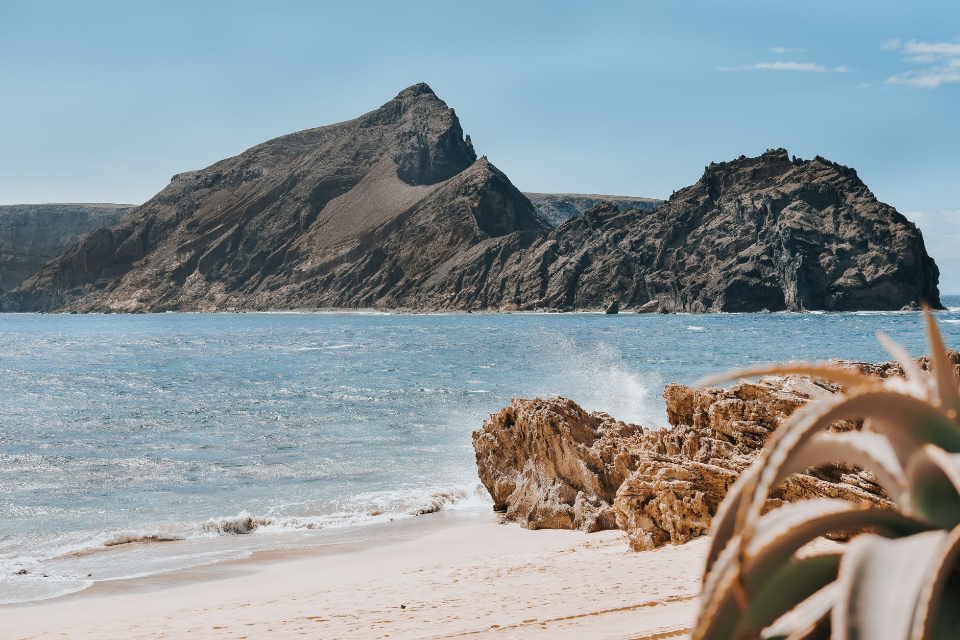
The ferry from São Vicente takes forty minutes and crosses a channel that can be rough or gentle depending on the season and what the Atlantic is doing that day. I crossed on a morning that was neither rough nor gentle but oscillating between the two, which kept me on deck gripping the rail and arriving at Porto Novo on Santo Antão’s eastern coast with the particular alertness of someone who has been reminded that the ocean has no opinion about their comfort.
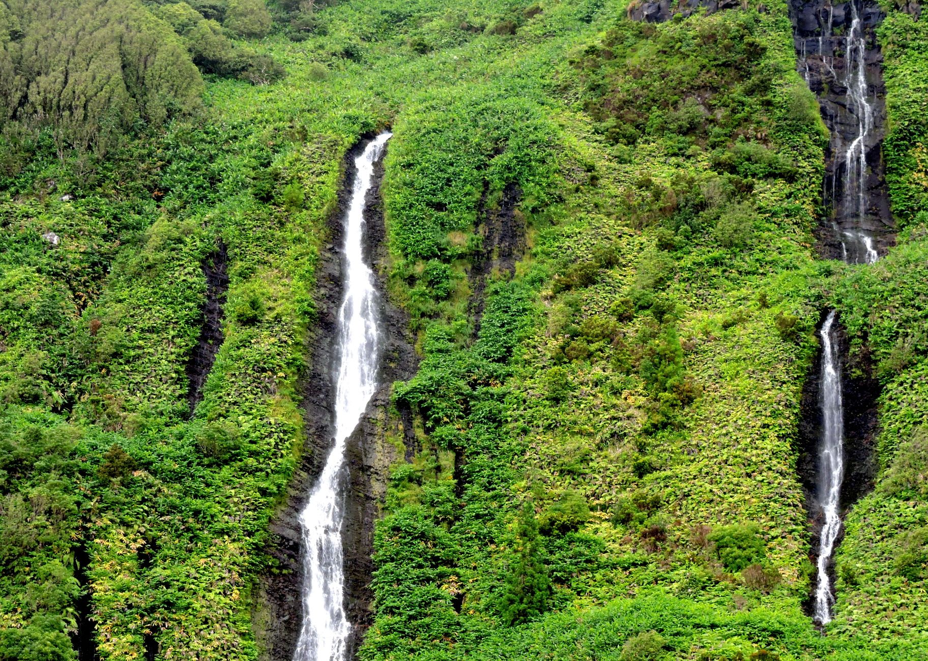
What the road north from Porto Novo offers in return is so extraordinary that the ferry becomes irrelevant — a switchback climb into the mountains above the coast, the island rising from sea level to over a thousand metres in the space of a few kilometres, and then the interior revealing itself in a way that registers as improbable. Cape Verde’s eastern islands are desert, brown and volcanic and scoured by wind. Santo Antão, held by the northeast trade winds against mountains that pull moisture from the passing air, is the archipelago’s counterargument: wet, green, terraced on every slope by farmers who have been coaxing food from these vertical hillsides for centuries.
I walked the Ribeira do Paul — the main valley on the island’s windward side — over two days, staying one night in a village guesthouse that had four rooms and a view across to the next ridge. The valley trail follows an old irrigation canal and then drops through sugarcane fields and groves of coconut palm and banana, the air consistently cooler and more fragrant than anything I had breathed in days of sailing dry Atlantic islands. Farmers passed me going uphill with loads that seemed impossible by volume. Children going the other direction treated the path like a racetrack. I was moving much more slowly than everyone.
The grogue distilleries appear along the valley like markers on a pilgrimage route — small, family-operated stills that convert sugarcane into something that functions simultaneously as greeting, farewell, and currency. I was offered samples at three different properties, declined at none, and arrived at my guesthouse in a state of mild serenity. The owner cooked xerem — a cracked corn porridge thick enough to stand a spoon in, eaten with goat meat and a sauce I could not identify but could not stop eating. This is the food of the mountains. It makes the restaurants in Sal’s resort strip seem like a category error.
On the second day I climbed to the ridge above the ribeira and found a path that ran along the island’s spine — on one side the Atlantic, on the other the interior valleys still catching cloud. The wind at the top was strong enough to make walking slightly diagonal. Below me, on both descents, villages clung to slopes at angles that should have made construction impossible and had clearly not deterred anyone. The island felt, from up there, like evidence that human beings are fundamentally optimistic, willing to build a life on any surface that will hold them.
When to go: October through June for reliable weather. The ribeiras are greenest in November after the brief rains. The northeast trade winds blow year-round, which keeps temperatures moderate and makes hiking comfortable even in the warmer months. Mountain paths can become unstable between August and October during rains — check locally before heading into the high interior.