
Torngat Mountains National Park
"There is no road to Torngat, no trail, no cell signal — just rock older than complex life and a bear monitor who never once stopped scanning the ridgeline."
A roadless wilderness of two-billion-year-old peaks at the northern tip of Labrador, co-managed with Inuit communities and reachable only by charter flight and boat.
Getting to the Torngats takes commitment before you’ve even seen a mountain. I flew from Goose Bay to Nain, the last town, then took a smaller charter north along the Labrador coast until the shoreline stopped pretending to be hospitable and became pure vertical rock plunging into black fjord water. There’s a base camp near Saglek Fjord, run jointly by Parks Canada and the Nunatsiavut government, and that partnership is the whole point of this place — the Torngats aren’t a park in the usual sense, they’re Inuit land where Inuit guides and bear monitors decide what you’re allowed to do and when, because they know exactly what’s out there.
Two Billion Years of Rock
The name Torngat comes from Torngarsuk, a powerful spirit in Inuit cosmology, and the mountains earn the association — some of this exposed rock is among the oldest on the planet, gneiss formed nearly two billion years ago, folded and buckled into peaks that look less like mountains and more like a geological argument that never resolved. Mount Caubvick, the highest point in mainland Canada east of the Rockies, sits here at over 1,600 meters, rising straight out of the sea with almost no foothills to soften the approach. Hiking even a modest ridge means walking across ground that predates almost anything alive by an order of magnitude too large to hold in your head.
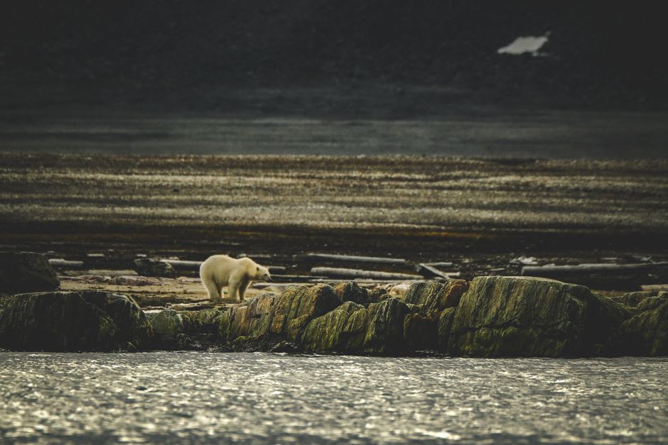
Every excursion outside camp goes with an armed Inuit bear monitor, and I don’t mean that as a formality. This is one of the few places on earth where polar bears and grizzly bears overlap, and both were treated by our guide, Joey, with the same matter-of-fact vigilance — scanning constantly, never once looking at his phone because there wasn’t one to look at. On our second day he stopped the group mid-sentence, pointed at a pale shape a kilometer off on the tundra, and simply said “polar bear, we go around.” No drama, just competence built from a lifetime of reading this land.
Caribou, Char, and an Archaeological Layer Cake
The park also protects one of the last great George River caribou migration routes, though herd numbers have crashed hard in the past two decades — a fact every Inuit guide brings up unprompted, with real worry, since caribou has fed families here for generations. We fished for Arctic char in a river mouth so clear you could watch the fish decide whether to take the lure, and ate it that night smoked over a driftwood fire at camp, the smoke bending sideways in a wind that never really stopped. Archaeologists have found evidence of human habitation here going back thousands of years — Maritime Archaic, Dorset, and Thule sites layered on top of each other near the fjords, a settlement record almost as old as the rock itself.
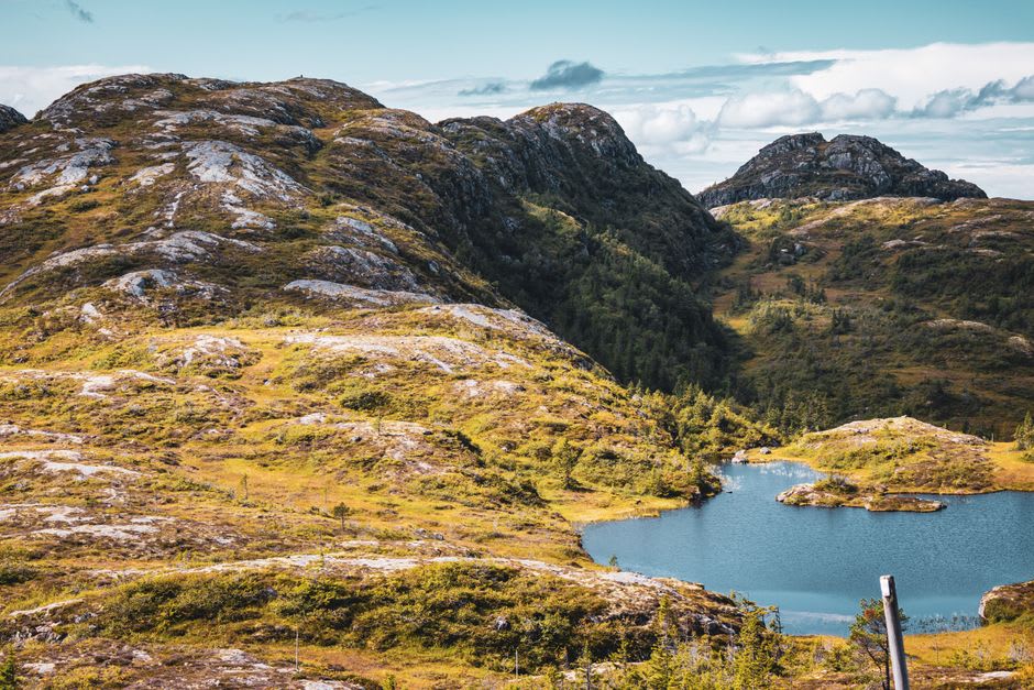
When to go: Late July through August is the only realistic window — the base camp operates for roughly six weeks a year, and even then the weather can cancel a charter flight for days at a stretch, so build slack into your schedule.