Bukit Patoi
"Three hours of mud, roots, and hornbill screeches — and then Borneo just opens up in front of you."
A 3.5km rainforest climb in Temburong that trades sweat and mud for hornbill calls and a view all the way to Sarawak.
We almost skipped Bukit Patoi. Lia and I had already crossed the Temburong bridge that morning, this absurdly long ribbon of concrete floating over mangroves, and by the time we reached the Peradayan Forest Reserve car park it was already past ten and starting to feel humid in that specific Bornean way where the air seems to have weight. A ranger at the entrance told us Bukit Peradayan itself, the taller peak next door, needed ropes and a much longer morning than we had. Bukit Patoi, he said, was the easier one. Three and a half kilometers, one summit at 310 meters. I remember thinking that sounded almost too modest to bother with. I was wrong within the first twenty minutes.
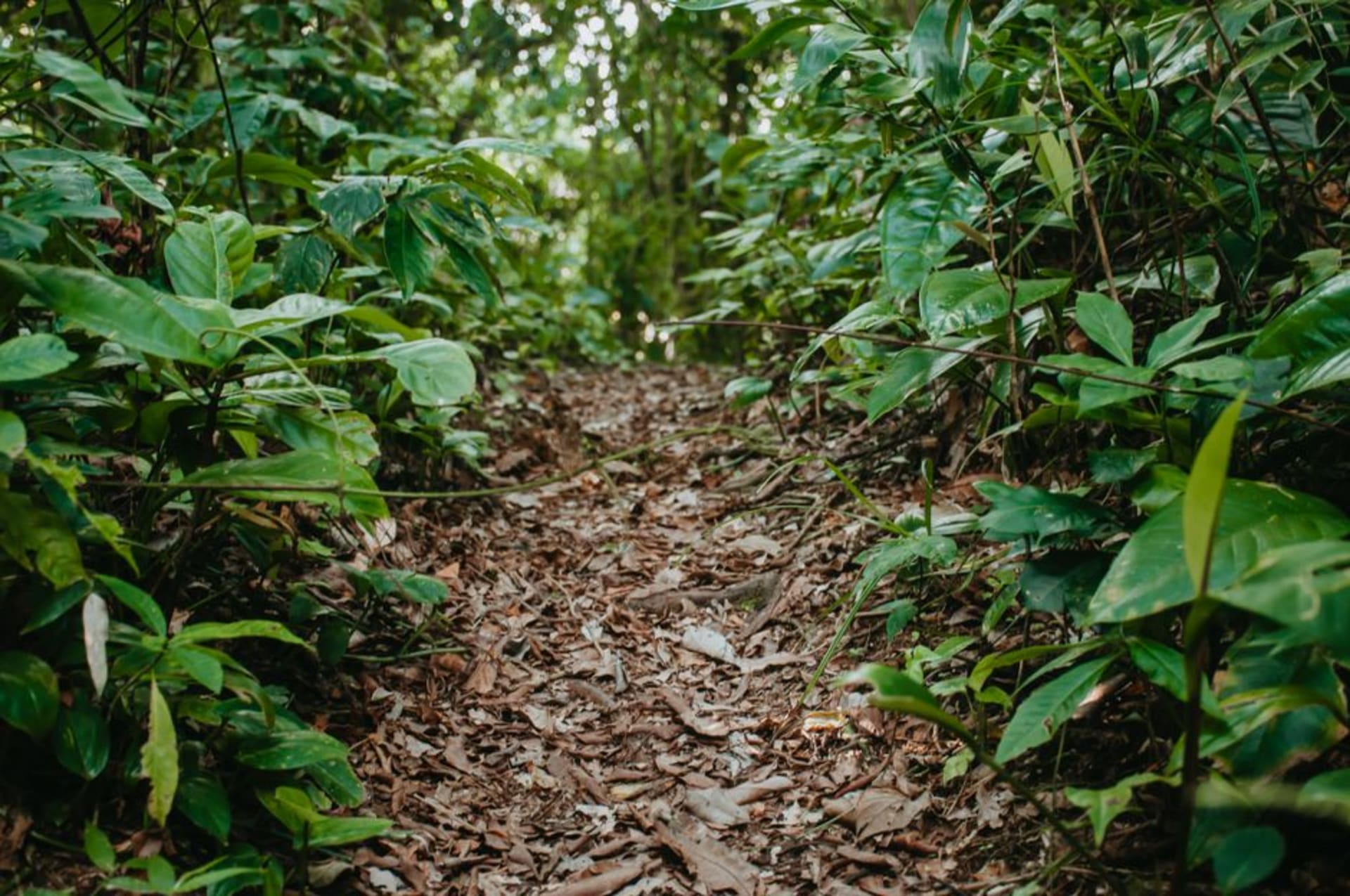
The trail doesn’t ease you in. It goes straight into primary rainforest, roots underfoot like a tangle of cables, and the canopy closes overhead so completely that the temperature actually drops a few degrees under the trees. Somewhere in the first kilometer we stopped dead because a pair of hornbills went crashing through the branches above us, that unmistakable whooshing wingbeat before we even saw them, and Lia grabbed my arm like we’d spotted something rarer than we probably had. We hadn’t come loaded with binoculars or a checklist, just curiosity, but Temburong has a way of making you feel like every rustle in the undergrowth deserves your full attention.
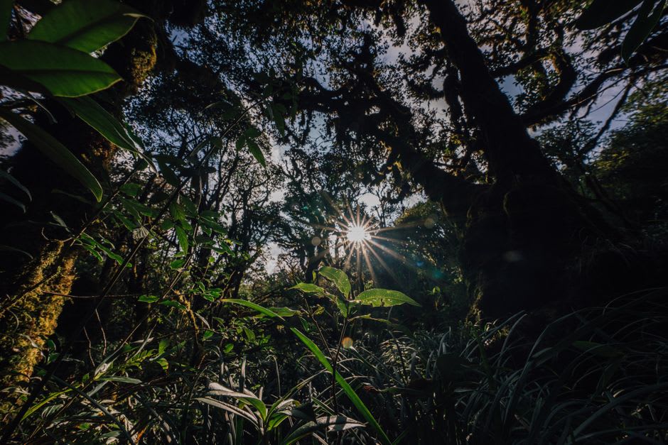
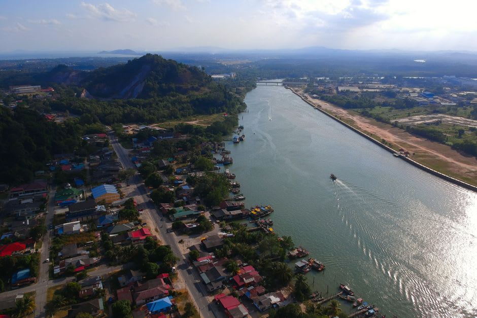
The last stretch before the summit is where the trail earns its reputation — steeper, rope-assisted in a couple of spots, and by then I was drenched through my shirt and starting to question my choice of shoes. But the payoff arrived fast. We came out of the trees onto the exposed summit and the whole lowland spread out below us, a green quilt of forest and river bends running out toward what our ranger friend swore was the Sarawak coastline, and beyond it, hazy and flat, the South China Sea. We sat on the rocks up there for a good half hour, sharing the last of a water bottle, not saying much. It’s one of those views that makes conversation feel unnecessary.
Coming down was its own kind of adventure — greasy mud on the descent even though we’d had a dry week, and I slid the last few meters on something other than my feet, much to Lia’s amusement. It’s the kind of hike that stays with you less for the summit itself and more for the hour spent inside the forest getting there, hornbills included.
When to go: Aim for the drier stretch between roughly March and September — we got lucky with mostly dry ground, but Temburong’s trails turn genuinely slick and root-treacherous after heavy rain, so a dry window makes the climb far less of a gamble.