Bella Coola
"The road down is called 'The Hill.' It drops 1,500 metres in under twenty kilometres and I did not enjoy a single one of them."
A remote valley on BC's Central Coast reached by one legendarily steep gravel road, where grizzlies fish the river and the Nuxalk Nation's history runs deep.
Getting to Bella Coola is most of the experience, and I say that as someone who generally hates when travel writers make that claim. From Williams Lake you drive the Chilcotin Highway for roughly four hundred kilometres through increasingly remote ranchland and lodgepole pine forest, pavement eventually giving way to washboard gravel, until you reach a stretch locals call simply “The Hill” — an 18% grade switchback descent with no guardrails dropping you from the Chilcotin Plateau into the Bella Coola valley at sea level. I white-knuckled it in a rented SUV in October rain and arrived at the bottom needing a drink and a moment.
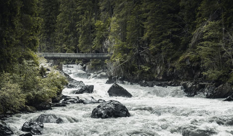
What’s waiting at the bottom justifies the descent completely. Bella Coola sits in a valley carved by glaciers between the Coast Mountains and the Pacific, thick with old-growth cedar and hemlock, and it’s within the traditional territory of the Nuxalk Nation, whose presence here goes back thousands of years and remains very much present rather than historical — I visited during a community event at the Nuxalk Nation’s cultural centre and watched dancers in regalia that had been passed down for generations, not reproductions made for tourists. The valley is also one of the most reliable places in BC to see grizzly bears fishing salmon in the wild, and I spent an evening on a guided river float watching a female grizzly and two cubs work a shallow gravel bar for chum salmon, close enough that our guide kept his voice at a whisper for no reason other than it felt correct.
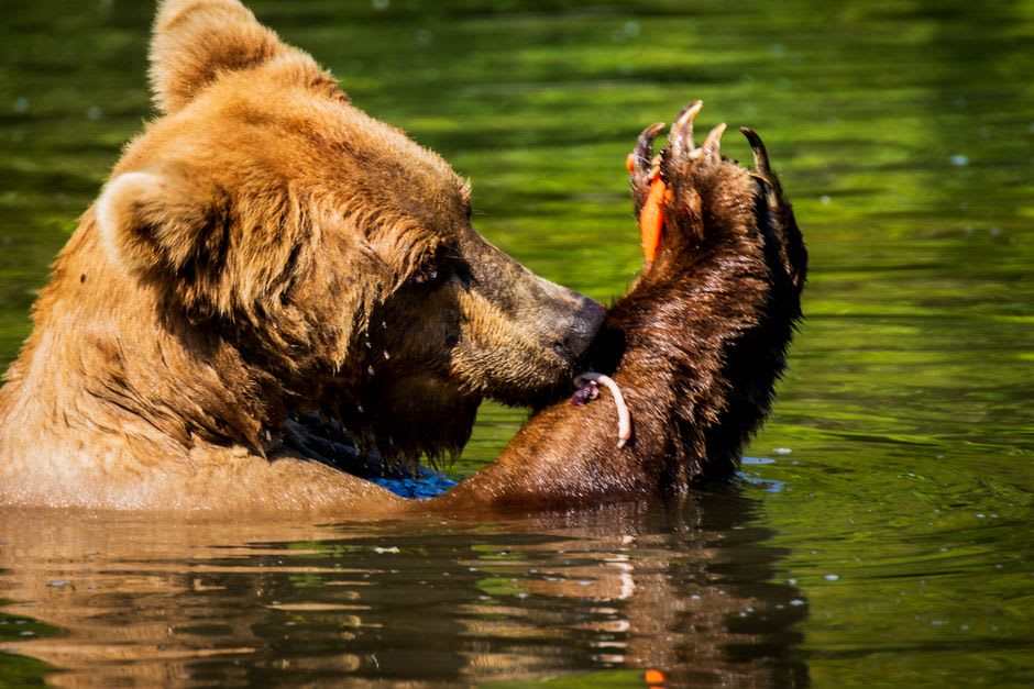
The other option in, which I took on the way out to avoid The Hill a second time, is the BC Ferries Discovery Coast route — a multi-day ferry that threads through the Central Coast’s fjords from Port Hardy, stopping at small communities along the way. It’s slower and considerably more scenic, and I’d genuinely recommend arriving that way and driving out, or vice versa, so you get both the terror of the road and the calm of the water.
When to go: Late August through September for the grizzly salmon runs, the valley’s single best reason to visit. July and August more broadly for road conditions and ferry reliability; the Chilcotin Highway can be genuinely difficult in shoulder season rain or early snow.
Keep exploring
More from British Columbia
 british-columbia
 Cathedral Grove
A roadside stand of eight-hundred-year-old Douglas firs on Vancouver Island, one of the last easily accessible fragments of BC's original coastal old growth.
Explore british-columbia
 Galiano Island
A slender, largely undeveloped Gulf Island of arbutus bluffs and Douglas fir forest, quieter and less discovered than its Gulf Island neighbours.
Explore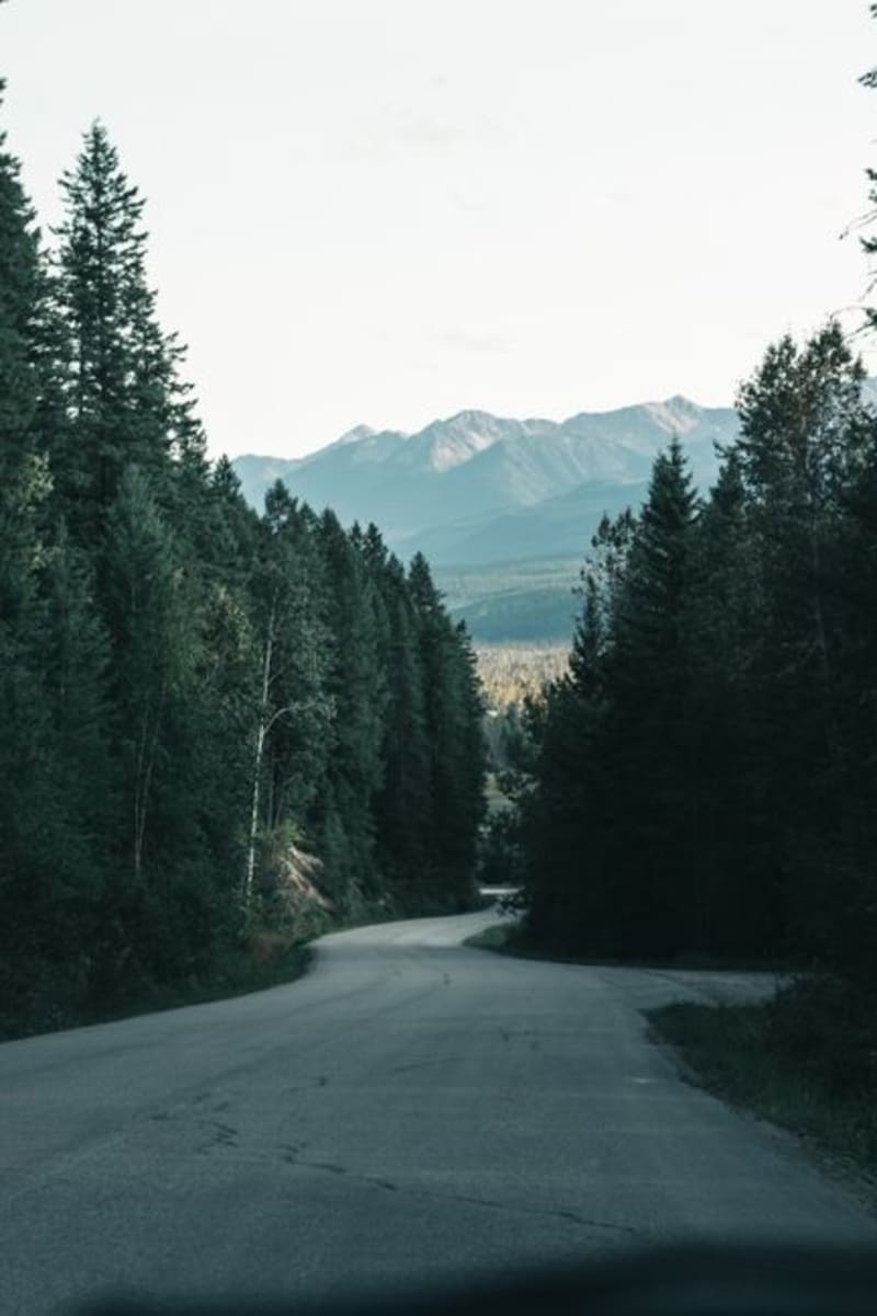 british-columbia
 Golden
A Rocky Mountain trench town where the Columbia River, five national parks, and a gondola with a glass-floor skywalk all sit within an hour's reach.
Explore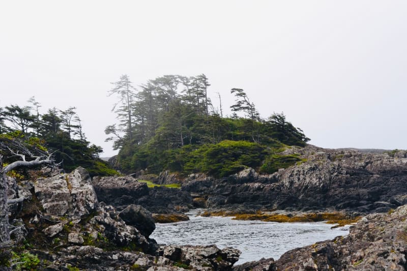 british-columbia
 Haida Gwaii
A remote archipelago off BC's north coast where Haida culture, ancient rainforest, and the open Pacific exist on their own terms.
Explore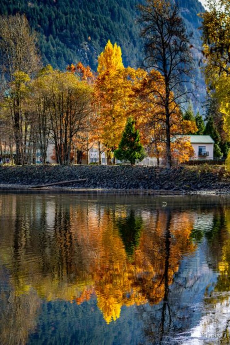 british-columbia
 Harrison Hot Springs
A lakeside village ninety minutes from Vancouver built around mineral hot springs, a vast glacial lake, and one very famous sand sculpture competition.
Explore british-columbia
 Kaslo
A tiny Kootenay Lake village anchored by Canada's oldest surviving passenger sternwheeler, quieter and stranger than its more famous neighbour Nelson.
Explore