W National Park
"The map calls it a letter. On the ground, it just feels like the edge of everything."
A wedge of Sudano-Sahelian wilderness shaped by the Niger River's W-bend, where elephants still cross borders no one else respects.
We got the name wrong for the first two days. Lia kept saying “double-u” like it was a nickname, until our guide, a quiet Gourmantché man named Idrissou, unfolded a creased paper map on the hood of the truck and traced it with his finger — the Niger River bending twice into a shape that really does look like a W. That’s the whole park’s origin story, right there on a piece of paper worn soft at the folds. Benin’s slice of it sits at the western tip, butting up against Pendjari, and together with the Niger and Burkina Faso sides they form one of the last places in West Africa where an ecosystem this size hasn’t been cut into pieces by roads and fences.
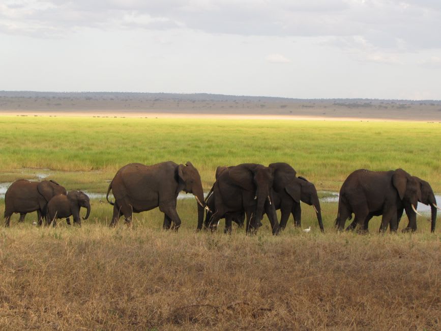
I’d read the species list before we came — elephants, lions, cheetahs, over 350 kinds of birds — and it read like a brochure. It stopped reading like a brochure around six in the morning on our second day, standing up through the truck’s open roof while a herd of maybe thirty elephants moved out of the tree line toward the Mekrou River, unhurried, like they had somewhere to be but no reason to rush. Idrissou cut the engine and we just watched. Lia didn’t say anything for a long time, which for her is rare.
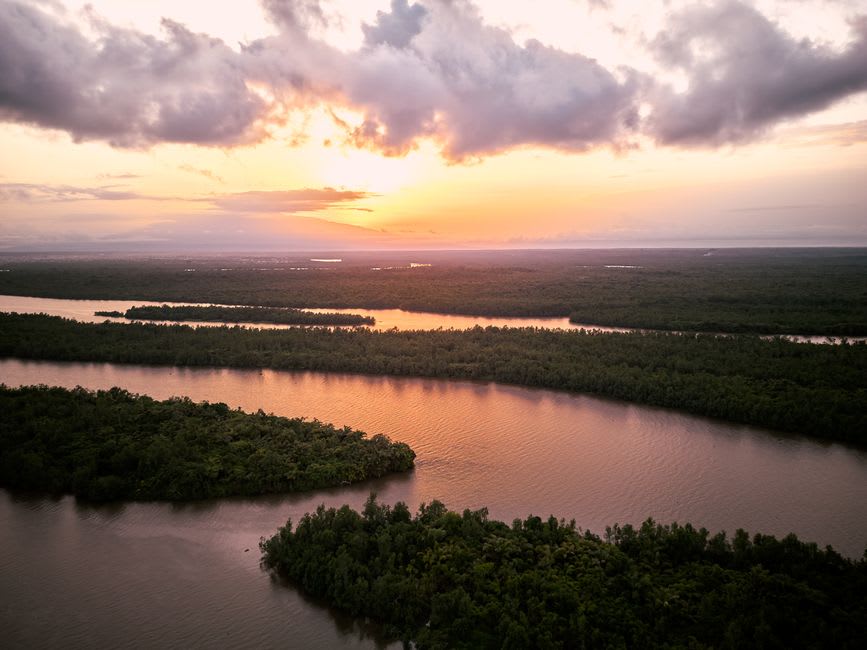
The gallery forest along the river is a different world entirely — shaded, dense, loud with birds we couldn’t name fast enough. We ate lunch there most days, rice and grilled fish that our camp cook, a Fulani woman who’d worked the park for fifteen years, packed in banana leaves. She told us her family had grazed cattle on this land for generations before the park existed, and that the relationship between the herders and the reserve is still something people are figuring out, season by season. It’s not a simple story. Nothing about a transboundary savanna shared by three countries and centuries of pastoralist life is going to be simple.
On our last evening we drove out toward open savanna just to watch the light change, and a single cheetah crossed the track maybe eighty meters ahead of us, then stopped and looked back once before disappearing into the grass. Idrissou said he’d seen one maybe five times in fifteen years of guiding. I still think about that look.
When to go: aim for December through April — the dry season pulls wildlife down to the Niger and Mekrou rivers, and the tracks that turn to mud the rest of the year actually stay passable.
Keep exploring
More from Benin
 benin
benin Abomey
The capital of a kingdom whose palaces still stand and whose history refuses to be made comfortable.
Explore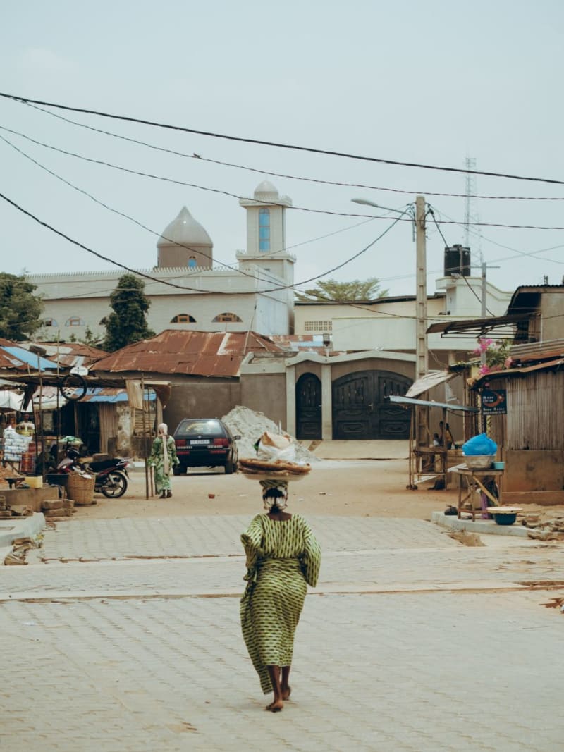 benin
benin Boukoumbé
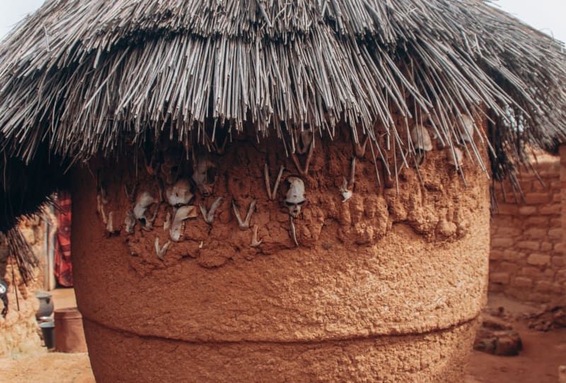
A scattered hill town in the Atakora where the Batammariba people still build the tata somba — fortified two-storey houses of mud that look like small castles and are stranger and older than anything in the guidebooks.
Explore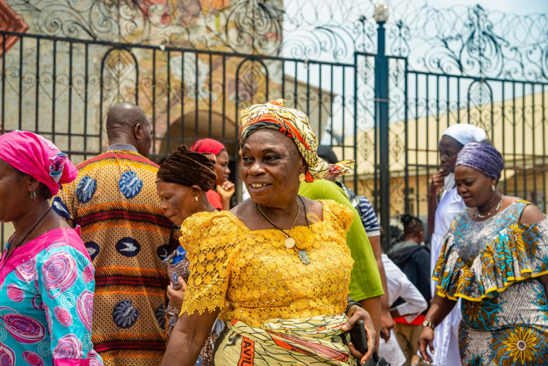 benin
benin Cotonou
Benin's chaotic economic engine — not beautiful exactly, but rewarding in the way that honest, unpolished cities always are.
Explore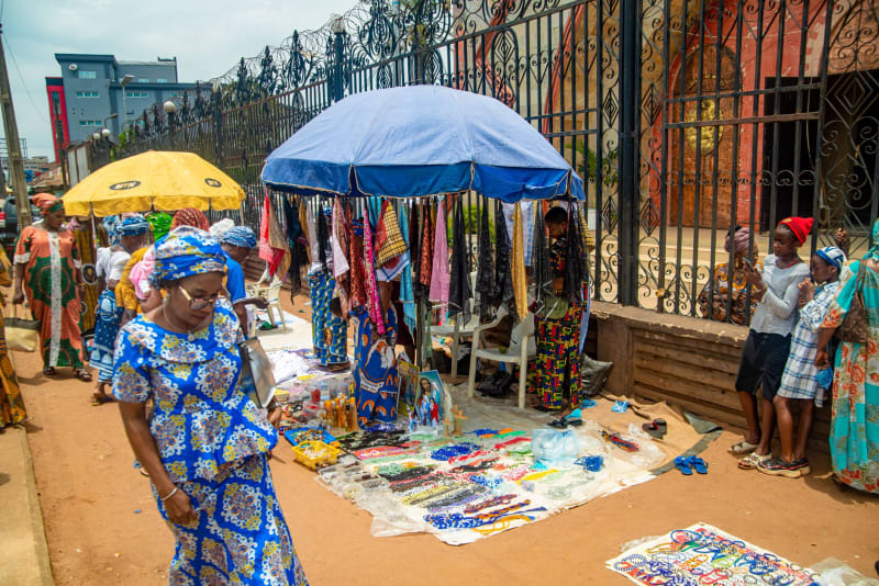 benin
benin Dassa-Zoumé
A pilgrimage town built around granite outcrops where Catholicism and Vodou exist in the same breath.
Explore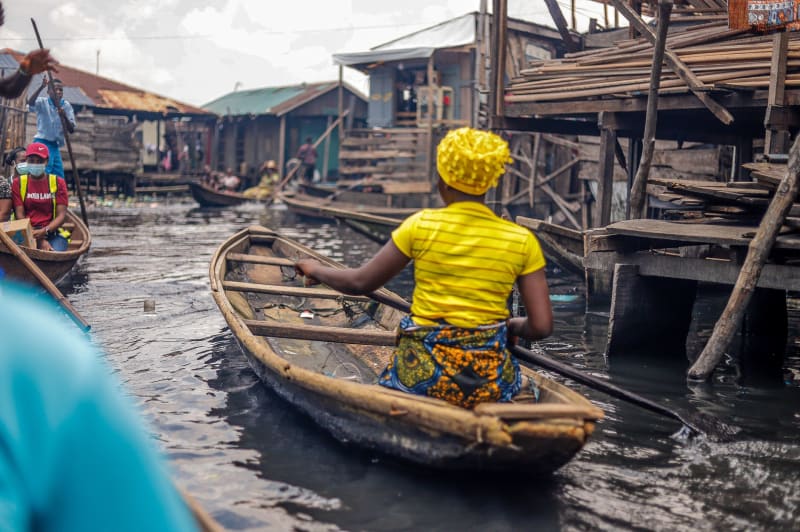 benin
benin Ganvié
A city of thirty thousand people built entirely on water, four centuries old and still impossibly alive.
Explore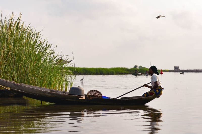 benin
benin Grand-Popo
A lagoon town near the Togo border where the Atlantic meets fresh water and almost nothing moves at speed.
Explore