Salar de Atacama
"The Salar doesn't care about your sense of scale. It will break it, and not apologize."
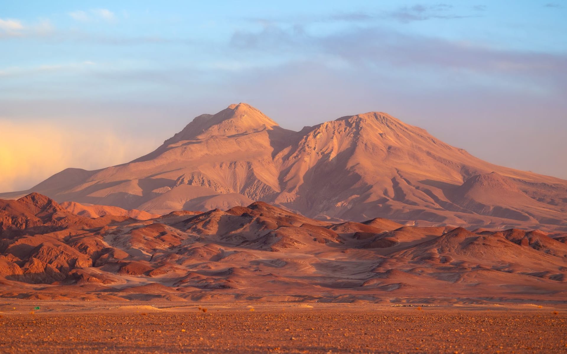
I walked onto the Salar de Atacama and immediately lost the ability to judge distance. There is nothing to triangulate against — no trees, no landmarks, no variation in height, just the white plain running out in all directions until it meets the base of the Andes in a clean, almost architectural line. The mountains look closer than they are. Everything looks closer than it is, and then farther, and the mind keeps recalculating. I stood there for a while just trying to decide where the horizon was.
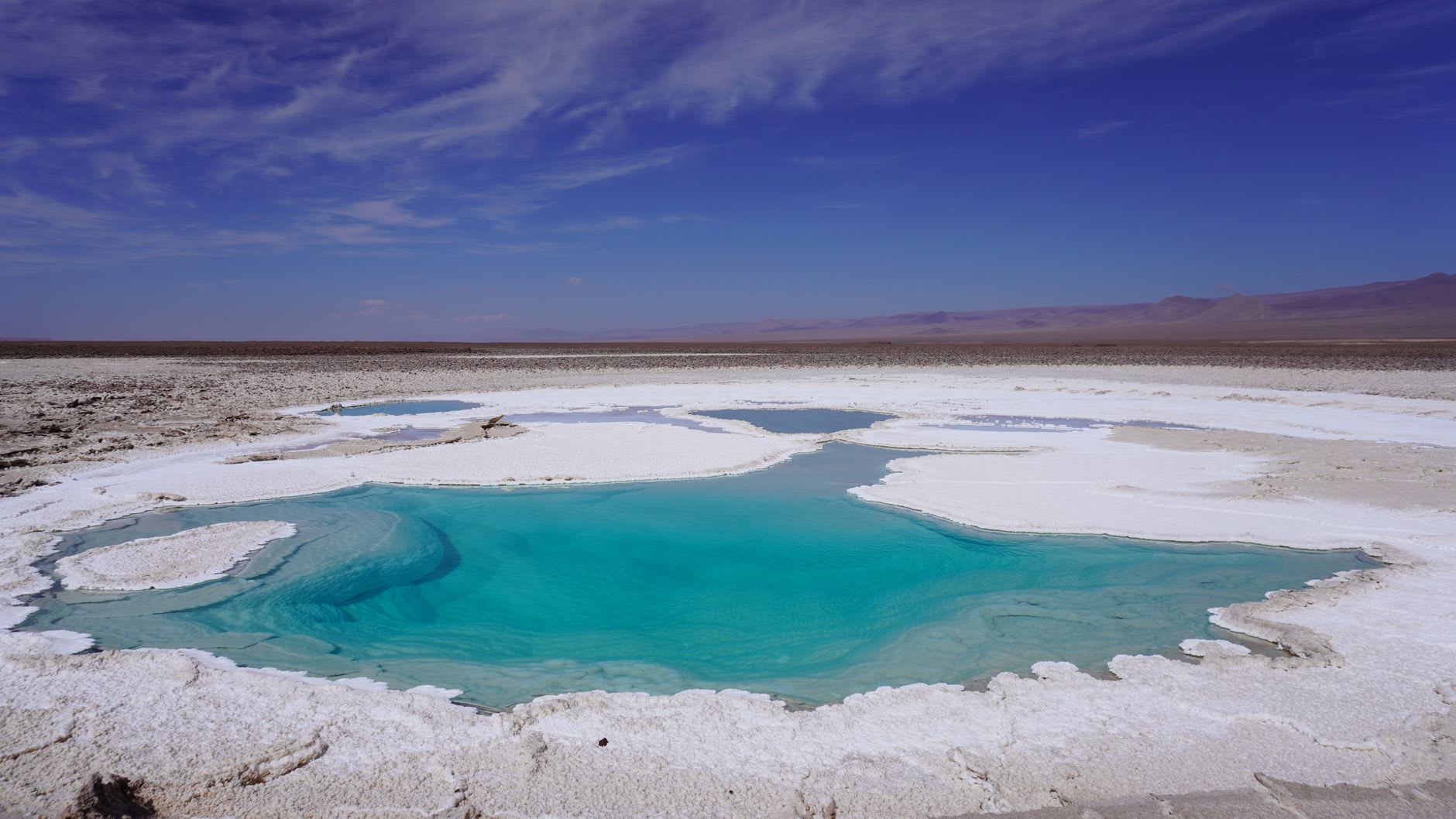
The surface is not smooth, which surprises people who have seen photographs. The salt has organized itself into a mosaic of hexagonal polygons, separated by raised ridges, each polygon slightly cupped in the center. When you walk across them, they ring hollow underfoot — there are brine channels and cavities below. In places near the edge of the flat, the salt has built up into rough white towers, some knee-height, crusted with crystals that catch the light at odd angles. The whole flat smells faintly of something mineral and clean, the smell of extreme dryness, of water that has been gone from a place for a very long time and left its mineral signature behind.
What the photographs don’t tell you is that the Salar de Atacama sits atop one of the world’s largest lithium reserves, and the industrial extraction happening at its edges has become a fault line in Chilean politics. The lakes that feed the Salar’s brine — Laguna Miscanti, Laguna Miñiques, a dozen smaller pools — are connected to the salt flat through underground channels, and the pumping of brine for lithium extraction has begun to affect water levels. You can see the processing facilities from certain viewpoints: white chemical ponds in the distance, gleaming among the natural white of the salt. It is unsettling in a specific way, watching industry that looks almost indistinguishable from the landscape it is consuming.
But that complexity is also what makes the Salar honest as a destination. It is not just beautiful, it is contested. It sits at the intersection of geology and economics, of indigenous water rights and global battery supply chains. Standing on that flat white plain, you are standing on the future of electric cars and renewable energy, whether that registers with you or not. The man who drove me out here told me his grandfather had walked across this flat on foot in the 1950s. His grandfather’s community now meets with mining lawyers twice a year.
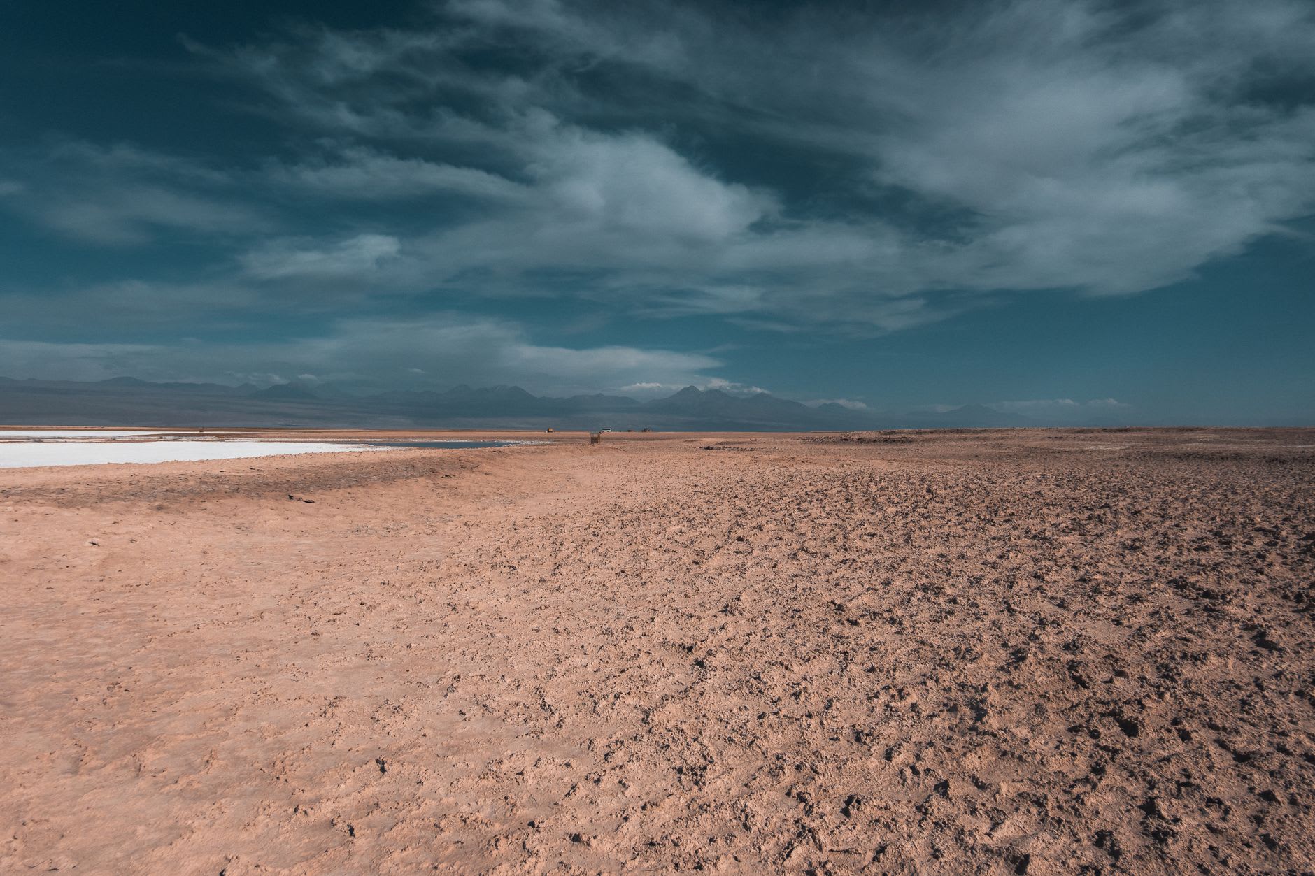
At the northern edge of the Salar, near the outflow channels, you can find sections of flat water in the morning that mirror the sky perfectly. Not as deep or dramatic as the Bolivian Uyuni, but intimate and beautiful in their own right — the mountains doubled below the horizon, flamingos walking through their own reflections, the whole scene composed with a stillness that feels provisional, like it could dissolve at any moment.
When to go: Any dry season month — March through May and September through November are ideal. In summer, the rains can turn edge sections to mud. Midday is harsh under open sky; morning and late afternoon are when the mirror effects and the low-angle light are best.