Tierra del Fuego National Park
"The trees here have been arguing with the wind for centuries, and the wind is winning."
Windswept coastal forest at the southern tip of the Americas, minutes from Ushuaia and the end of the road.
The park begins so close to Ushuaia that the transition caught me off guard — one minute we were in the corrugated-roof edges of town, the next the road narrowed and the Beagle Channel appeared through a screen of lenga forest, and there was nothing recognizably urban left anywhere behind us. Tierra del Fuego National Park protects a strip of subantarctic coastline and forest at the very bottom of the continent, and it does something few national parks manage: it makes the scale of where you are feel completely legible within the first ten minutes.
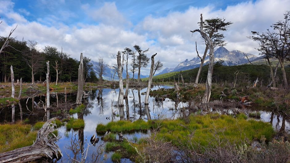
Lia and I walked the Senda Costera, the coastal trail, which follows the shoreline of the Beagle Channel through forest bent almost sideways by decades of prevailing wind. The lenga and coihue trees here grow in shapes that look deliberate, like topiary, but it’s entirely the wind’s doing — branches only surviving on the leeward side of each trunk, producing trees that look permanently mid-flinch. Along the trail we passed the strange architecture of beaver dams, the legacy of an ill-considered 1940s attempt to start a fur trade that instead produced an invasive population with no natural predators and a talent for reshaping the landscape. The flooded meadows and gnawed, standing-dead trees you see throughout the park are their doing, not nature’s original plan, and it’s a strange thing to learn while standing in the middle of the damage.
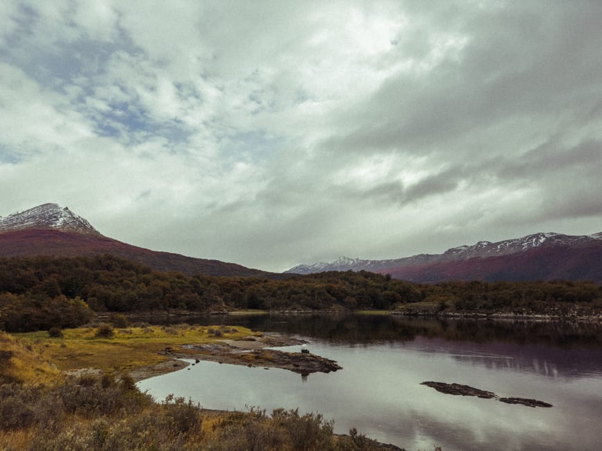
The park’s centerpiece, for me, was less a single view than an accumulation — the way the trail kept alternating between dense forest, open peat bog, and sudden clearings onto the channel, each one revealing a slightly different composition of water, mountain, and cloud. We stopped at Lapataia Bay, where the trail and the road both end, and I stood for a while at the marker noting the terminus of Ruta Nacional 3, the highway that begins some three thousand kilometers north in Buenos Aires. There’s a particular feeling that comes with standing at the literal end of a road that long. It’s less triumphant than I expected, and more contemplative — like arriving somewhere that has been quietly waiting the whole time.
Wildlife moves through the park at its own unhurried pace. We watched a Fuegian steamer duck paddle furiously along the shoreline without ever quite achieving flight — a species that has largely lost the ability, evolution deciding that a place with this few predators didn’t require the effort. Foxes trotted along the trail edges with a boldness that suggested they’d made peace with hikers long ago. Condors circled the ridgelines above camp, and at one rest stop a caracara landed close enough that Lia got nervous about her sandwich, correctly, as it turned out.
When to go: November through March for the mildest weather and the longest daylight, though the park is open and worthwhile year-round — even in winter, when snow dusts the lenga and the crowds thin to almost nothing. Wind and sudden rain are constants regardless of season; a proper shell jacket is not optional here.
Keep exploring
More from Argentina
 argentina
 Tigre
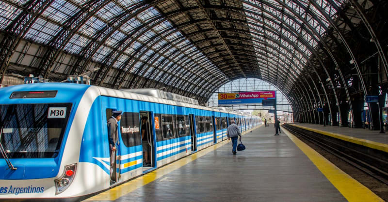
A river delta of islands and channels just outside Buenos Aires — a watery escape from the capital's hustle.
Explore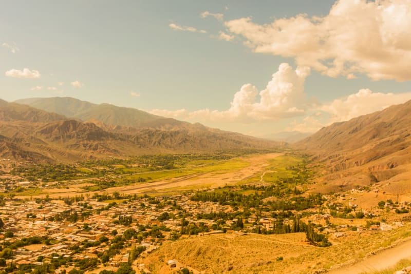 argentina
 Tilcara
A Quebrada de Humahuaca town built around a pre-Inca pucará fortress, with the region's best archaeology and its liveliest carnival.
Explore argentina
 Tinogasta
A desert oasis wine town in Catamarca province where poplar-lined irrigation channels turn hard country green.
Explore argentina
 Trelew
The commercial heart of Welsh Patagonia, home to one of Argentina's finest dinosaur museums.
Explore argentina
 Tren a las Nubes
The Train to the Clouds, an engineering marvel that climbs through 21 tunnels and over a curved viaduct to cross the Andes above 4,200 meters.
Explore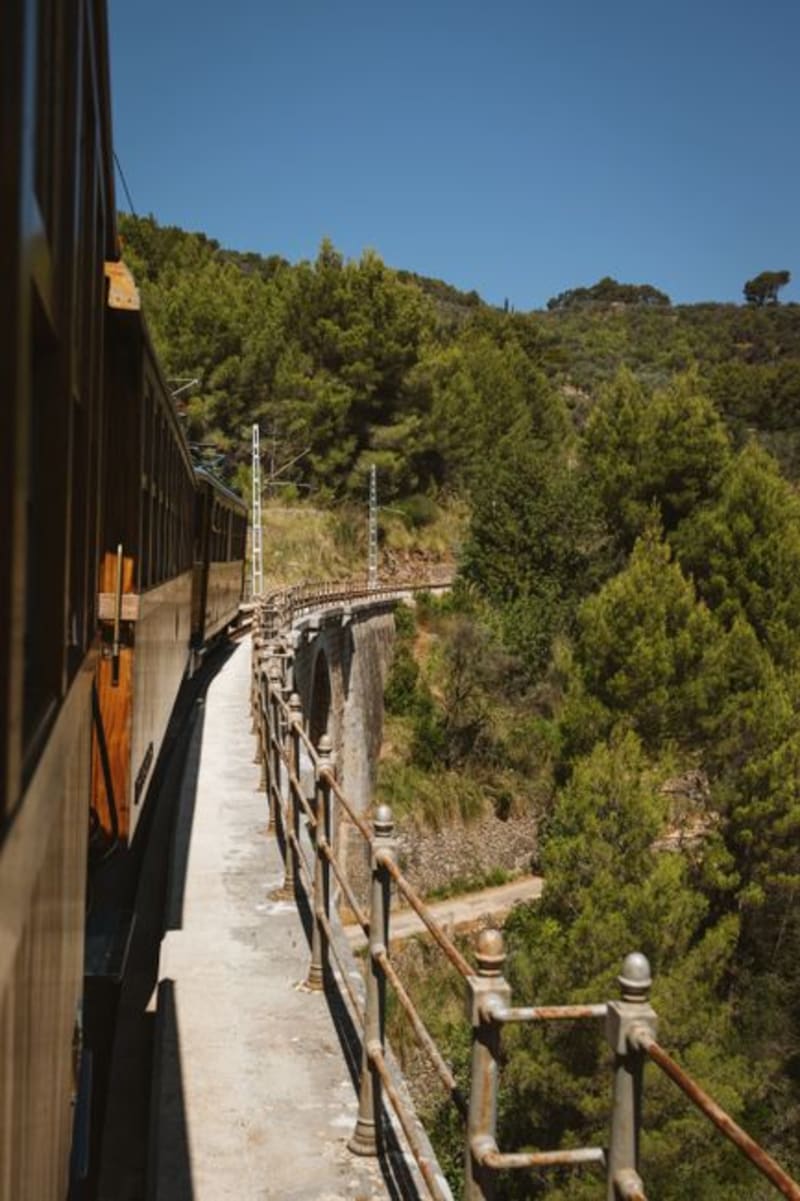 argentina
 Tren de la Costa
A restored coastal railway linking Buenos Aires's northern suburbs, ending at the delta town of Tigre.
Explore