Lapataia Bay
"Somewhere behind you, three thousand kilometers of road just decided to stop."
The literal end of the Pan-American Highway — a quiet bay where Ruta Nacional 3 finally runs out of continent.
There’s a wooden sign at Lapataia Bay that lists distances — Buenos Aires, 3,079 km; Alaska, 17,848 km — and I stood in front of it for longer than the moment probably warranted. This is the southern end of Ruta Nacional 3, and depending on how generously you want to draw the map, an unofficial terminus of the Pan-American Highway itself, the road network that threads, with gaps, from Prudhoe Bay in the Arctic down to this exact patch of gravel at the bottom of Tierra del Fuego National Park. Lia found it a little anticlimactic when we first arrived — a calm bay, some low hills, a wooden dock — and I understood the reaction. Then it settled in for both of us: nothing was ahead of us anymore. The road we’d been following, in some fragmented sense, since we’d started this trip, had simply run out of continent.
The bay itself sits at the mouth of the Lapataia River where it meets the Beagle Channel, ringed by the same wind-flagged lenga forest that covers most of the national park, and the water there is startlingly still compared to the channel beyond — a natural harbor that the Yaghan people, the original inhabitants of this coastline, used for millennia before anyone drew a highway toward it. Shell middens are still visible near the shore in places, the accumulated debris of a culture that lived almost entirely on the coast’s marine resources and, remarkably, wore very little clothing in a climate that makes Ushuaia’s coldest days feel routine. I found that fact almost impossible to hold in my head standing there in three layers and a windproof shell.
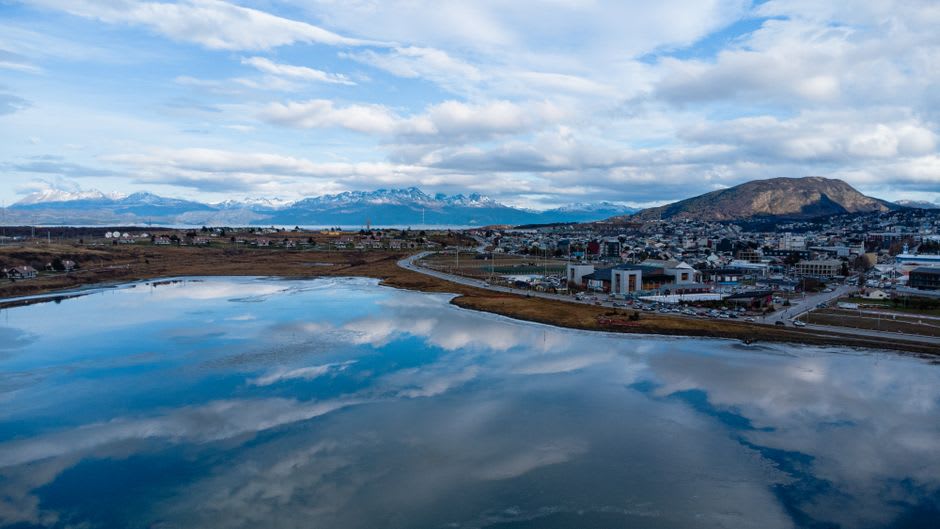
We rented kayaks for an hour from a small operator near the dock and paddled out into the bay, staying close to shore where the water stayed calm. Cormorants stood along half-submerged logs in the kind of upright, wings-out posture they hold to dry off, and a family of kelp geese, the males a startling pure white against the dark water, drifted past without much concern for us. The paddle out gave a different vantage on the bay than the shoreline trail does — the mountains behind the forest suddenly visible in a way they aren’t from ground level, snow holding on their upper slopes even in what passed for summer.
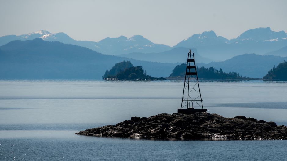
What I keep coming back to about Lapataia is how quiet an ending it is. I’d expected something more dramatic for the literal end of the road — a cliff, a crashing sea, some geographic exclamation point. Instead there’s a calm bay, a dock, some geese, and a sign with numbers on it. Somehow that undersell made it land harder. The road doesn’t stop with a flourish. It just stops, the way most long things eventually do, quietly and a little unceremoniously, and you’re left standing there trying to feel the significance of a place that refuses to perform it for you.
When to go: November through March for the mildest weather, when the bay is calm enough for kayaking and the surrounding forest is at its greenest. It’s a short detour from the rest of the national park, easily combined with the Senda Costera trail, and worth timing for late afternoon when the light comes in low across the water.
Keep exploring
More from Argentina
 argentina
 Las Grutas
A Rio Negro beach resort where the Atlantic runs unusually warm and Argentine families come to swim rather than just watch the waves.
Explore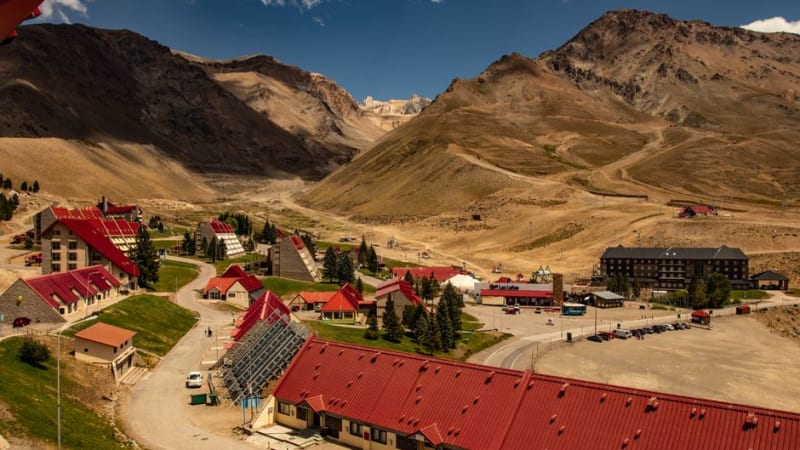 argentina
 Las Leñas
A remote Andean ski resort in southern Mendoza, known for steep off-piste terrain and long, near-empty runs.
Explore argentina
 Luján
A pilgrimage town on the pampas built entirely around a neo-Gothic basilica and Argentina's patron saint.
Explore argentina
 Luján de Cuyo
Mendoza's premier Malbec appellation, where the province's oldest and most prestigious bodegas cluster along tree-lined lanes.
Explore argentina
 Maipú
Mendoza's original wine district, best explored by rented bicycle between century-old bodegas and olive groves.
Explore argentina
 Malargüe
A remote southern Mendoza town, gateway to the volcanic Payunia reserve and some of the darkest skies in Argentina.
Explore