
Harpers Ferry
"Thomas Jefferson called this view worth a voyage across the Atlantic. I came by car and still felt he had the proportions right."
Where three states and two rivers meet at a gap in the Blue Ridge, history compressed into a few square blocks of nineteenth-century stone.

You come into Harpers Ferry from the highway and then you park outside town and walk down into it, because the lower town — the historic core, the part that sits at the precise angle where the Shenandoah pours into the Potomac — is too small and too old for cars. The descent is steep, through a neighborhood of nineteenth-century workers’ houses now occupied by the National Park Service, and then suddenly you are on Shenandoah Street and the river is right there, twenty feet away, running fast and green over pale limestone shelves, and the Maryland Heights rise on the far bank with an abruptness that explains why this place was called the Hole — a gap in the Blue Ridge so dramatic that both rivers had to find it simultaneously.
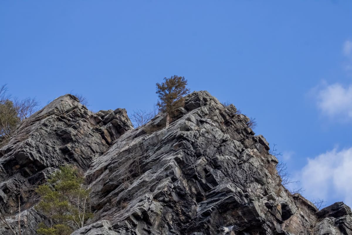
I had come to hike Maryland Heights, the cliff that towers above the confluence on the Maryland side, and I crossed the footbridge over the Potomac in early morning when the mist was still in the gorge and the water below was the color of old pewter. The climb up Maryland Heights is not long but it is steep, through a forest of oak and mountain laurel, with Civil War fortifications — stone walls, cannon emplacements — tucked into the ridgeline at intervals. At the overlook, two hundred feet above the rivers, the full geometry of the place revealed itself: the Shenandoah coming in from the left through its valley, the Potomac carving right toward Washington, the two merging into one wide river at the base of the cliff, and the spires of Harpers Ferry’s three churches visible on the tongue of land between them. Thomas Jefferson stood at this spot in 1783 and wrote that it was worth a voyage across the Atlantic Ocean to see. The view has not declined.
The history is inescapable here and also genuinely worth engaging with. John Brown’s 1859 raid on the federal armory — his attempt to seize weapons to arm a slave rebellion — ended in this town, in a fire engine house that still stands in the lower town, now called John Brown’s Fort. The raid failed; Brown was captured by Robert E. Lee and hanged six weeks later; eighteen months after that the Civil War began, and Harpers Ferry changed hands eight times in four years because its position controlling the Shenandoah Valley made it perpetually contested. The town’s antebellum population of three thousand was never rebuilt after the war. What remains is essentially a preserved ruin, and the smallness of what survives — the narrow streets, the brick row houses, the armory foundations — gives the enormous history a human scale it often lacks in textbooks.
The Appalachian Trail crosses the Potomac here on a railroad bridge — the only place in its three thousand miles where it shares a bridge with an active freight line — and the town hosts the AT Conservancy’s headquarters, a building full of maps and thru-hike registers that I spent an hour reading. The entries from successful thru-hikers and from people who quit — both are there, both honest — have a cumulative emotional weight that is hard to describe.

The food situation in Harpers Ferry is modest — a café or two, a pizza place, the obligatory ice cream shop — and I would not come here for the restaurants. I would come for the rivers, and I did. The Shenandoah above town is excellent for kayaking and tubing, and the section below the confluence where the Potomac opens up is serious whitewater — Class III and IV at certain water levels — that draws paddlers from the DC metro area on weekends. On a weekday afternoon I floated a section of the Shenandoah with a rental tube and watched osprey work the current and felt the Blue Ridge pass overhead in slow ridge after slow ridge, and forgot for a while that history had happened here.
When to go: October for fall color, when Maryland Heights becomes one of the finest viewpoints in the mid-Atlantic. Spring — April and May — for wildflowers and high water in both rivers. Avoid summer weekends; the historic lower town is small enough that crowds make it feel like a museum rather than a place. Weekday visits in any season are a different and better experience.
Keep exploring
More from Appalachian Mountains
 appalachian
Hot Springs
A one-street trail town in a river gorge where hikers have been soaking their feet — and the rest of themselves — since the 1800s.
Explore appalachian
New River Gorge
A deep, forested canyon in West Virginia where an ancient river cuts through old mountains and a single soaring steel arch carries the road a thousand feet above the water.
Explore appalachian
Roanoke
A Virginia mountain city built on rail and iron that wears its industrial past with dignity and its outdoor future with genuine conviction.
Explore appalachian
Shenandoah
A long ridge of blue-green mountain and a valley of such pastoral depth that even Virginians who grew up here still pull over to stare.
Explore appalachian
Abingdon
A small Virginia mountain town with a nineteenth-century theater, a rail trail through river hollows, and a seriousness about culture that its size has no right to sustain.
Explore appalachian
Asheville
A mountain city that quietly became one of America's most interesting food towns, built on ramps, sorghum, and a refusal to be ordinary.
Explore