Vall del Madriu-Perafita-Claror
"A quarter of the country's territory, and on the day I walked it, I met four other people."
A UNESCO-listed glacial valley covering nearly a quarter of Andorra's territory — empty high mountains that feel genuinely wild when everything else in this country does not.

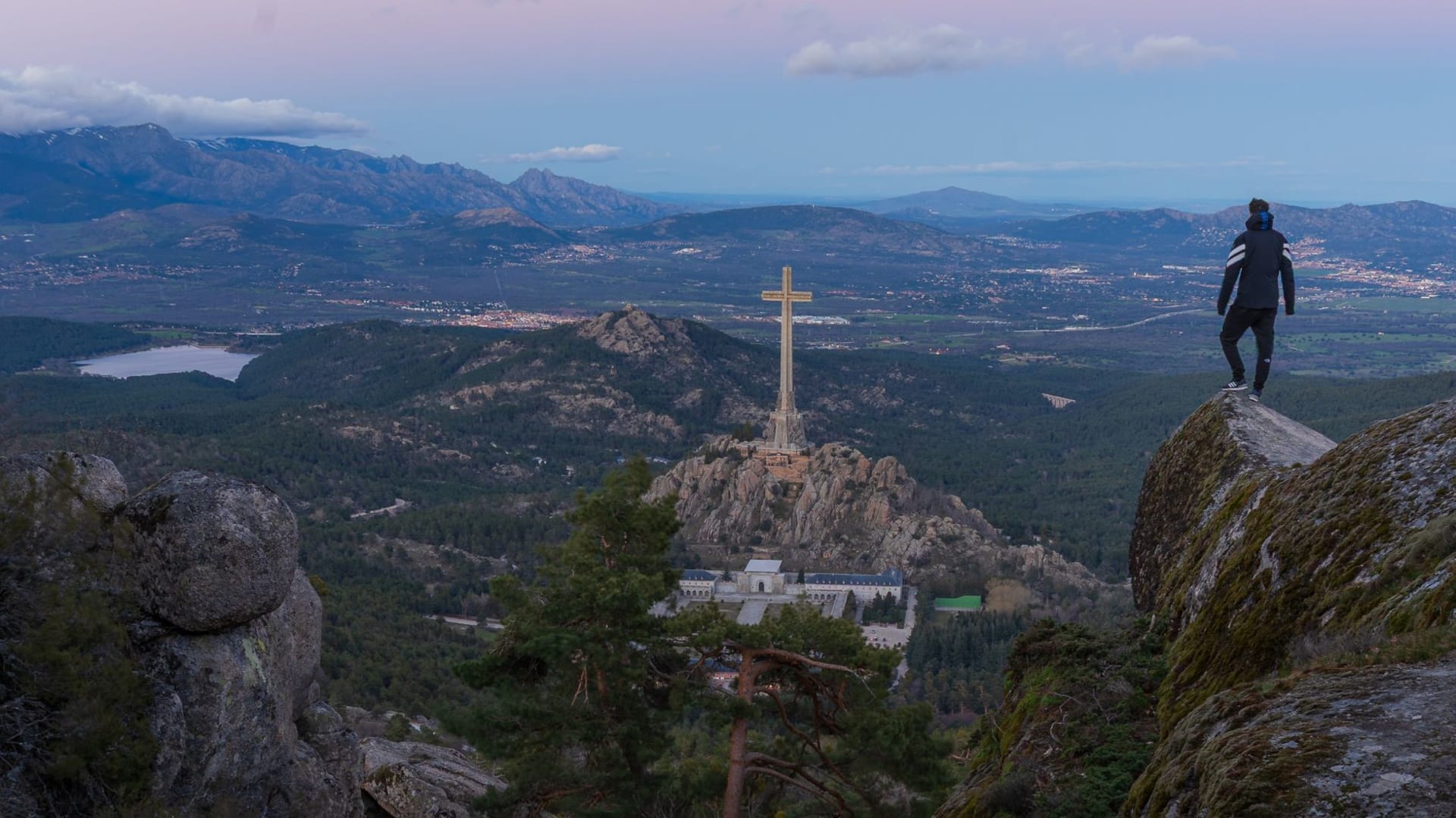
The Madriu valley begins at a trailhead above the village of Escaldes-Engordany and climbs steadily into a landscape that refuses to behave like the rest of Andorra. There are no shops. There are no ski lifts. There are no roads past the first kilometre. What there is, once you get above the lower forest and onto the open glacial terrain, is the kind of silence that has a texture to it — deep and mountain-specific, broken only by wind through the rocks and the occasional distant call of a bird I couldn’t identify. I had been in Andorra for three days, moving through traffic and commercial strips and ski resort queues, and when I got above the treeline in the Madriu and looked back down the valley toward the country I had left below, I felt something ease in my chest that I hadn’t known was tense.
The Vall del Madriu-Perafita-Claror was inscribed as a UNESCO World Heritage Site in 2004, cited as a relic cultural landscape that preserves the traces of high-altitude summer pastoralism that shaped Pyrenean life for millennia. The stone huts dotting the upper valley — bordes, in Catalan, seasonal shelters used by shepherds — are part of what UNESCO recognized. But the inscribed landscape is also simply beautiful in ways that have nothing to do with heritage management. The valley was carved by glaciers into a broad U-shape, its floor covered in granite boulders, alpine grass, and the blue-green lenses of glacial lakes. In July the wildflowers are absurd — yellows and purples and a particular intense blue that I kept trying and failing to photograph accurately.

The hiking here ranges from a half-day walk along the lower valley to a two-day circuit that takes in the Perafita and Claror branches, crosses into territory above 2,800 metres, and requires a night in one of the mountain refuges. I did the lower section on my first visit and the full circuit on a return trip the following August. The full circuit is demanding but not technical — it requires solid walking fitness and the confidence to navigate when the trail markers thin out above the snowline, but not climbing skills or specialist equipment. The refuge at Fontverd, in the middle valley, serves hot food and cold beer to walkers who arrive looking like they’ve earned both.
The fauna in the valley is the other thing that caught me unprepared. Isards — the Pyrenean chamois, a quick, sure-footed antelope of the high terrain — are common above 2,000 metres if you move quietly and arrive early in the morning. I counted eleven in a single hour from a granite outcrop above the Estany de les Truites, watching them move through the boulders with a confidence that made my own uncertain footwork look amateurish. Marmots whistle from the talus slopes with theatrical alarm. The valley has been protected long enough that the wildlife has returned to a density that surprises.

Getting there is straightforward — the main trailhead is a thirty-minute drive from Andorra la Vella — but getting to the upper valley requires commitment. The gradient is steady rather than brutal, but the altitude accumulates: you start at around 1,750 metres and end above 2,500 if you push to the highest lakes. I have started earlier than planned on both visits and still watched the afternoon cloud come in before I was ready to turn back.
When to go: Mid-June through September, with July and August offering the most reliable weather and fully open trails. Snow can linger on the upper sections into late June. The autumn colours in October are exceptional but the window before first snowfall can be short. A topographic map and water filter are worth carrying; the refuges accept cash only.
Keep exploring
More from Andorra
 andorra
 Andorra la Vella
The world's highest capital city, where duty-free perfume shops and medieval stone churches occupy the same narrow valley without apparent contradiction.
Explore andorra
 Arcalis
A high-altitude ski area cupped inside a glacial cirque at the top of the Ordino valley, more amphitheater than resort.
Explore andorra
 Arinsal
A ski village at the end of a dead-end valley in the northwest, small enough to feel like a secret and just big enough to have a good bar.
Explore andorra
 Canillo
The easternmost parish, where the Romanesque churches are the finest in the country and the valley still holds the proportions of a place that hasn't entirely given in to tourism.
Explore andorra
 Comapedrosa
Andorra's highest peak at 2,942 meters, centerpiece of a natural park scattered with glacial lakes and rough granite ridgelines.
Explore andorra
 Encamp
A mid-valley parish where a national automobile museum holds one of the most eccentric vehicle collections in the Pyrenees, and the telecabine lifts you directly into ski terrain.
Explore