Watford City
"Watford City boomed twice in a decade and somehow kept its small-town nerve intact."
A once-tiny farm town that got swallowed by the Bakken boom and somehow came out the other side with sidewalks, a recreation center, and a gateway to the wildest corner of the badlands. Lia and I stopped here on the way into Theodore Roosevelt National Park's North Unit and left impressed by how a town rebuilds itself twice in one generation.
Watford City had fewer than fifteen hundred residents when the Bakken oil boom hit in the late 2000s, and within a few years it had multiplied several times over, man-camps and new subdivisions sprawling out from a Main Street that suddenly couldn’t keep up. Lia and I had read about the chaos of those boom years — housing shortages, mile-long grocery lines, crime spikes — and expected something rougher than what we found: a town that had clearly used its oil money well, with a genuinely impressive recreation center, paved trails, and a downtown that felt more invested-in than exhausted.
The Long X Trail and Bakken oil field views
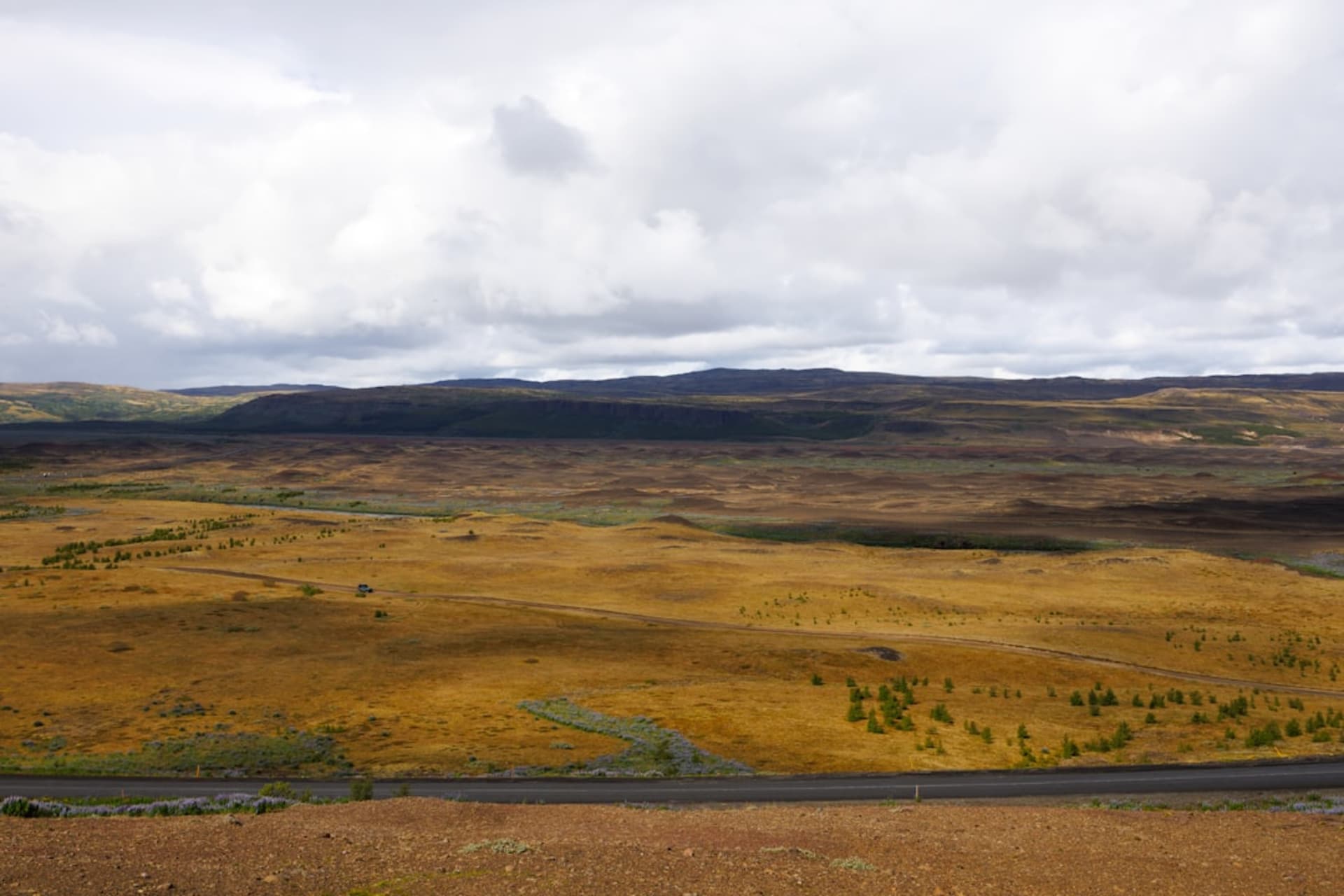
East of town along US-85, the road climbs onto a ridge locals call the Long X Trail, and the view from up there is the whole Bakken story in one frame — grazing cattle, wheat stubble, and pumpjacks working steadily between them, with flare stacks visible for miles in every direction after dark. We pulled off at an overlook and Lia commented that it didn’t look like the environmental disaster she’d half expected from news coverage, just an odd, uneasy coexistence between ranching and drilling that this whole corner of the state has had to negotiate.

Gateway to the North Unit
Watford City’s real draw, for us, was its position fifteen miles south of the North Unit of Theodore Roosevelt National Park, the quieter, far less visited half of the park compared to the South Unit near Medora. We fueled up and grabbed sandwiches at a local deli before driving in, and the ranger at the entrance station told us the North Unit sees a fraction of the South Unit’s traffic — we ended up with entire overlooks to ourselves, bighorn sheep picking along ridgelines above the Little Missouri River without another car in sight.

Getting There
The Sloulin Field International Airport in nearby Williston (XWA) is the closest with commercial service, about forty minutes north. From Dickinson, it’s roughly an hour north on US-85. A car is essential — this is remote ranch and oil-patch country with no public transit, and it’s the only way to reach the North Unit entrance.
Keep exploring
More of North Dakota