Samar Island
"Samar's caves are so vast they have their own weather systems, and so far off the trail they still feel secret."
A raw island of cathedral-sized limestone caves, jungle waterfalls, and almost no tourist infrastructure.
I had been warned that Samar would be difficult. The jeepney driver who took us east from Catbalogan City said it matter-of-factly, the way locals say things they stopped finding remarkable years ago: the road past Basey breaks, the guides only speak Waray, bring your own rope. He said this last part and then looked at the window as if he’d already moved on.
We had not brought our own rope.
Into the Calbiga Caves
The Langun-Gobingob cave system — locals just call it Calbiga — is the second largest in Asia, though that statistic doesn’t prepare you for the reality of it. Our guide, a man named Rodel who ran a sari-sari store near the trailhead, handed us each a hardhat with a battery lamp and walked us in without ceremony. The entrance is a slot in the limestone cliff face draped in fig roots, easy to miss from twenty meters away. Then the earth swallows you.
Inside, the cave opened into a volume I couldn’t measure with my eyes. Somewhere above us, the ceiling disappeared into darkness. Bats moved through the air in pulses, thousands of them, their navigation clicks audible as static. The temperature dropped eight degrees in the first hundred meters. Lia grabbed my arm at the first deep chamber — not from fear exactly, but from the instinct you get when a space is genuinely beyond scale.
Rodel told us it rains inside during certain seasons. I didn’t understand him at first. He meant real rain: the humidity and air movement inside the system create localized cloud formation. The cave has weather. Standing there with my lamp pointed uselessly upward, I believed him completely.
Sohoton and the Smell of Sulfur
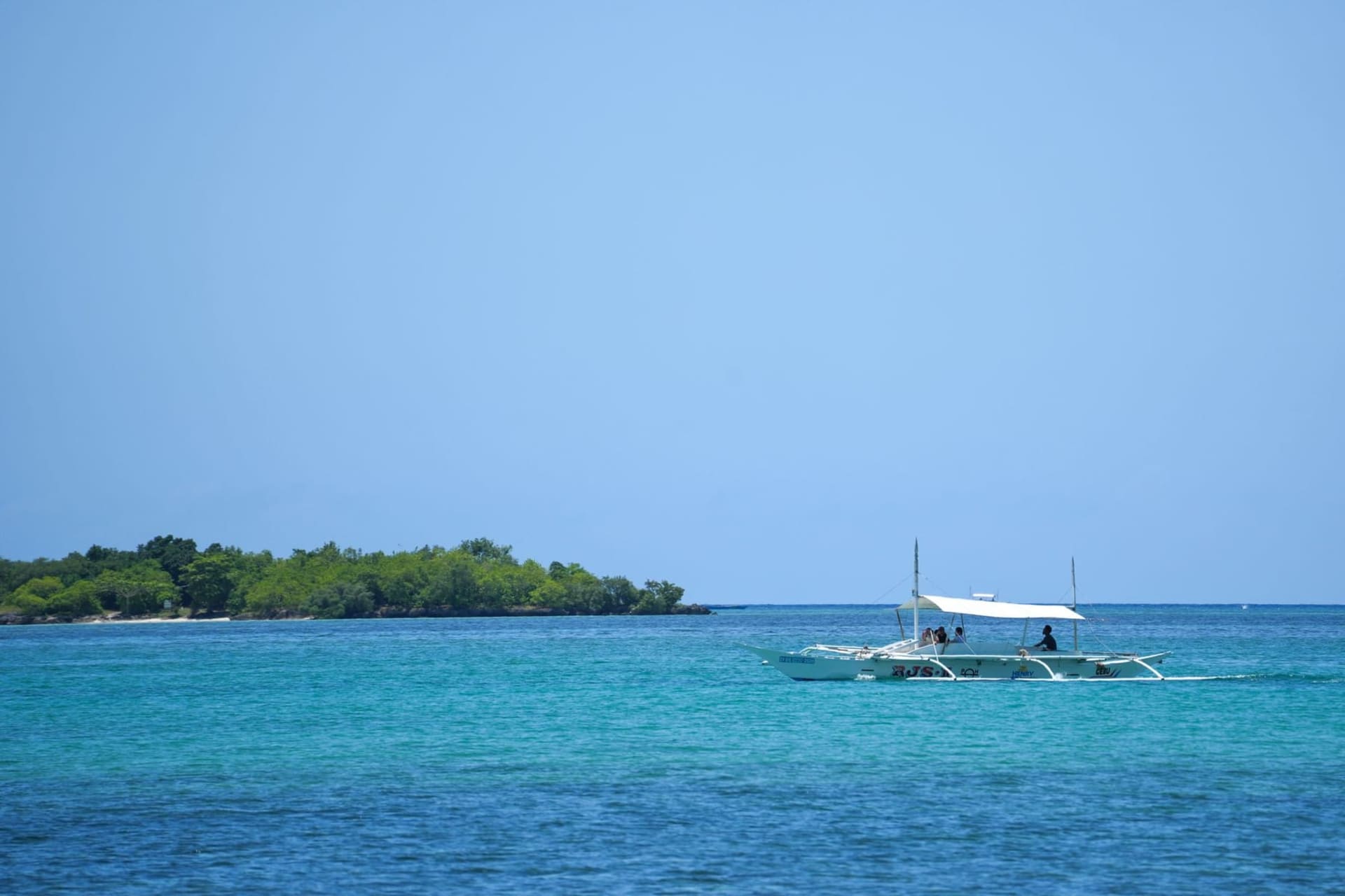
South of Calbiga, the Sohoton Natural Bridge in Basey sits at the junction of limestone karst and river, a place where the rock has been dissolved into arches and the water glows that particular green that only happens when sunlight catches it at low angles in the late morning. We arrived by outrigger from the Basey riverbank, threading between rock columns with vines hanging off them like frayed rope.
What I didn’t expect was the sulfur. A warm spring feeds part of the system, and when the air is still — which it was that Tuesday, completely still — the smell drifts across the water, faintly mineral, almost sweet. It mixed with the wood smoke from a fish vendor’s grill near the landing, and that combination is what Samar smells like to me now when I try to remember it exactly.
The Road That Breaks
The eastern highway through Samar, the one connecting Catbalogan to Borongan, is partly paved and partly improvised. In the rainy season, sections wash out and the detours go through barangays with no signage. We ate late lunch one afternoon in a roadside carenderia in a town called Taft — tinolang manok with green papaya, served in a bowl too hot to hold, alongside rice that had been sitting on the stove long enough to form a crust at the bottom that tasted like nothing I have a word for in French.
The woman running the carenderia had not seen foreign travelers in months. She said this without pride or complaint. That is Samar’s entire atmosphere compressed into one sentence.
When to go: The dry season runs from November through April, with February and March offering the clearest conditions for cave exploration and river access. Avoid the typhoon months of July through October — Samar sits directly in the typhoon corridor and roads become genuinely impassable.