
Americas
Patagonian Fjords
"The fjords don't greet you — they just absorb you into their silence."
A maze of ice-carved channels at the bottom of the world, where glaciers calve directly into the sea and the only way in is by boat.

The ferry from Puerto Montt leaves before dawn, and by the time the light comes up you’re already inside the channels — squeezed between mountains so steep they catch cloud at mid-height and hold it there like a lid. I had a coffee in each hand, which felt necessary, and I still couldn’t decide where to look. To the west, a glacier tongue hung off a black cliff face, its blue-white ice vivid against the rock. To the east, a waterfall dropped what looked like five hundred metres into the sea without touching anything on the way down. The Patagonian fjords don’t build up to a reveal. They start immediately and don’t relent for four days.
The route between Puerto Montt and Puerto Natales covers roughly fifteen hundred kilometres of Chilean coast that no road reaches. The ferry — the Navimag, or one of the smaller expedition vessels if you have the budget — threads through the Canal de Moraleda, past the Golfo de Penas, down through channels so narrow the ship’s wake rocks the kelp forests on both banks. This is not a cruise in the pampered sense. It’s a working freight route that happens to pass through some of the most severe and beautiful geography on earth. You eat at communal tables, sleep in basic cabins, and spend most of the daylight hours on deck in whatever weather the channels decide to offer. The weather, more often than not, is everything at once: rain, sun, wind, and a rainbow, sometimes in the same five minutes.
The places that stay with me are small. The tiny fishing settlement of Puerto Edén, where a few dozen Kawésqar people still live, accessible by nothing except the ferry that stops twice a week. The moment the ship entered the Canal Messier and the mountains closed in on both sides so completely that the sky became a thin blue ribbon overhead. The morning I woke at four a.m. because we were passing the Campo de Hielo Sur — the Southern Patagonian Ice Field — and someone knocked on every cabin door so no one would miss it: a white continent of ice extending to the horizon in every direction, still and absolute in the polar dawn.
When to go: November through March for the austral summer, when days run to sixteen hours and the mountain passes above the channels are free of snow. October and April offer solitude and dramatic weather at the cost of colder nights. Avoid June through August unless you are specifically looking for winter crossings — beautiful but punishing, and some ferry routes reduce frequency.
What most guides get wrong: They treat the crossing as transportation between Puerto Montt and Puerto Natales, a budget way to move between Chilean Lake District and Torres del Paine. It is that, technically — but rushing through with your eyes on the destination means missing the point entirely. The fjords are the destination. Give yourself the slow ferry, not the fast one. Sit on deck even when it rains. Especially when it rains.
Explore
Places in Patagonian Fjords
 patagonian-fjords
 Caleta Tortel
A village with no roads and no cars, built entirely on boardwalks above the water where the Baker River bleeds into the fjord.
Explore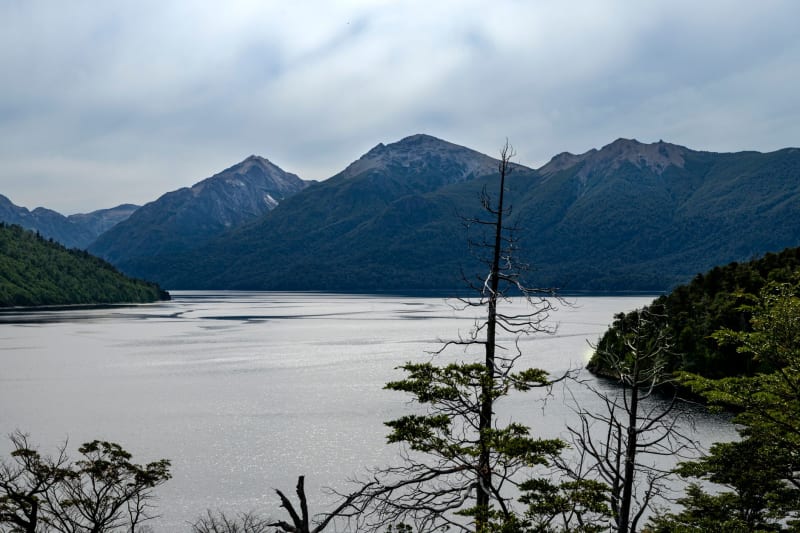 patagonian-fjords
 Canal Messier
The narrowest stretch of the fjord route, where mountains close in from both sides and the sky above you becomes a blue ribbon.
Explore patagonian-fjords
 Chiloé Island
A fog-drenched archipelago of wooden churches, stilt houses, and a mythology dark enough to make you check the treeline at dusk.
Explore patagonian-fjords
 Golfo de Penas
The Gulf of Sorrows — a twelve-hour open Pacific crossing where the ferry leaves the sheltered channels and everything becomes a different kind of serious.
Explore patagonian-fjords
 Isla Magdalena
A tiny island in the Strait of Magellan where sixty thousand Magellanic penguins nest in burrows and regard your boots with complete indifference.
Explore patagonian-fjords
 Laguna San Rafael
A turquoise lagoon full of drifting ice where a glacier the size of a small town calves directly into the sea with a noise like artillery.
Explore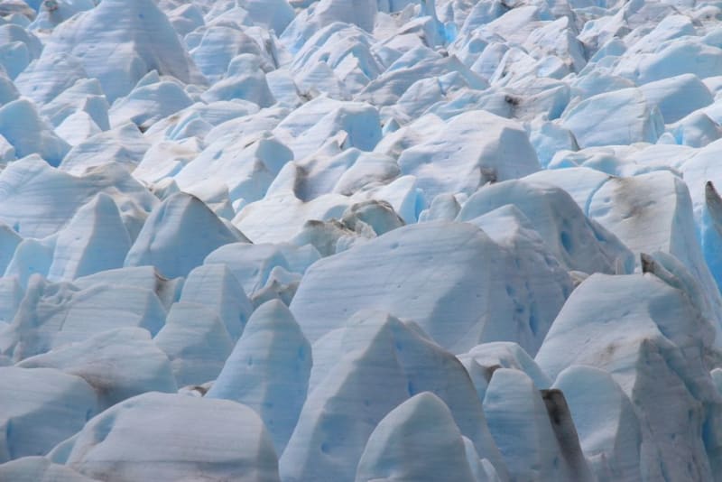 patagonian-fjords
 Parque Nacional Queulat
A hanging glacier calving into a waterfall above a fjord, reached by a short trail off the Carretera Austral.
Explore patagonian-fjords
 Puerto Edén
Fifty people at the end of the navigable world, the last settlement of the Kawésqar people, reachable only if a ferry decides to stop.
Explore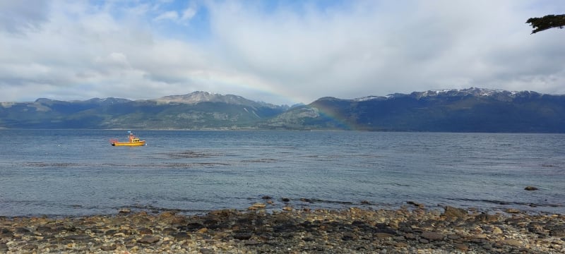 patagonian-fjords
 Puerto Montt
The city where roads end and water begins, smelling of smoked salmon, diesel, and the salt edge of everywhere south.
Explore patagonian-fjords
 Puerto Natales
A small wind-scraped town at the end of the Last Hope Sound where trekkers come to resupply and stay longer than they planned.
Explore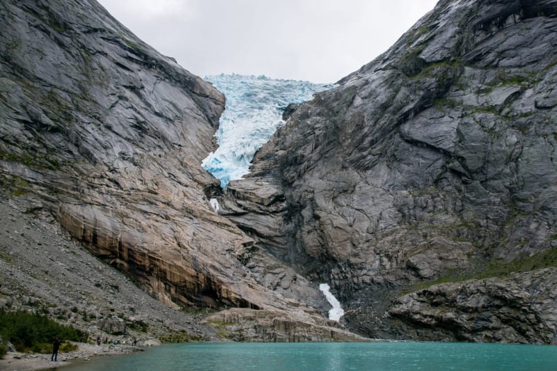 patagonian-fjords
 Pumalín Park
A temperate rainforest of ancient alerce trees and a smouldering volcano, gifted to Chile by an American who spent a fortune buying the land back from logging.
Explore patagonian-fjords
 Southern Patagonian Ice Field
The third-largest body of ice on earth after Antarctica and Greenland, seen at its most overwhelming at four in the morning from a ship's deck.
Explore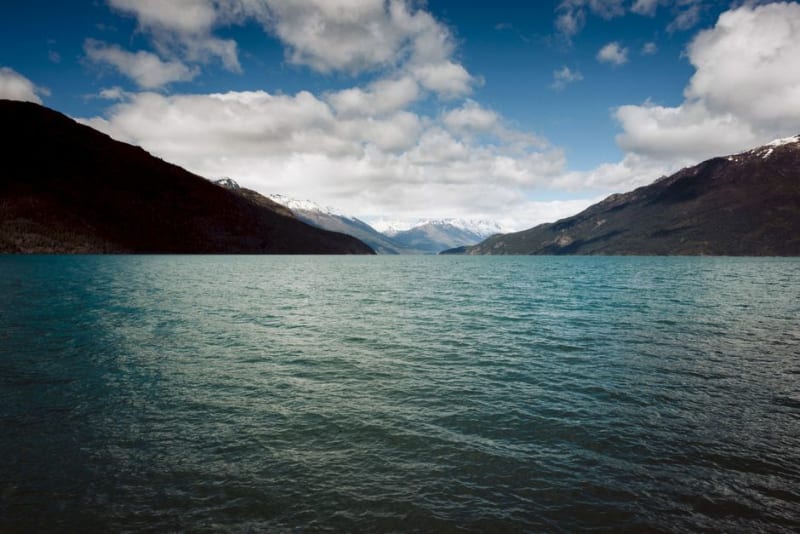 patagonian-fjords
 Termas de Puyuhuapi
A boat ride across a silent fjord to hot pools built over the sea, at the edge of the rainforest in Chilean Patagonia.
Explore