Puerto Morazán
"Puerto Morazán is where I finally understood why Nicaraguans call the mangroves their second coastline."
A quiet fishing and shrimp-farming town on the Estero Real estuary near the Honduran border, where mangrove channels replace roads and the birdlife outnumbers the people.
Getting to Puerto Morazán took longer than it should have, a bus from Chinandega followed by a shared truck bed down a road that gets worse the closer you get to the water, but the destination made sense of the effort almost immediately. This is a town built entirely around the Estero Real, the largest estuary system in Central America, a maze of mangrove channels stretching toward the Gulf of Fonseca and the Honduran border. There’s no beach here in the postcard sense — just brackish water, dense green walls of mangrove root, and boats that seem to know their way through channels I couldn’t have told apart from each other.
A Town That Runs on Shrimp
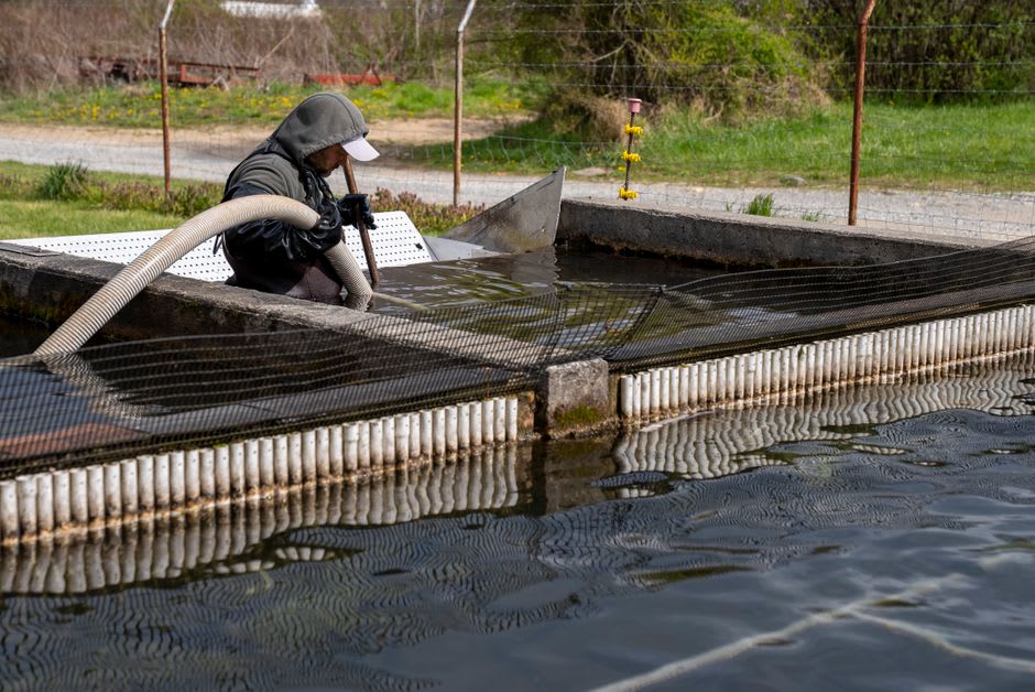
Puerto Morazán’s economy is shrimp, full stop — vast rectangular ponds carved out of the estuary’s edges for farmed shrimp production, alongside a smaller, older tradition of wild-caught shrimp and fish pulled straight from the estero by hand-cast net. I spent a morning with a fisherman named Don Chepe who took me out before sunrise in a narrow wooden boat, cutting the engine periodically to drift and check lines. He’d point out which channels led to the shrimp farms and which were still “wild,” untouched by the aquaculture ponds that have reshaped so much of this coastline over the past few decades. It’s not a simple story — the ponds bring income to a town with few other options, but they’ve also eaten into mangrove that used to be undisturbed. Don Chepe didn’t editorialize much. He just said the fishing used to be easier.
Birds Everywhere You Look
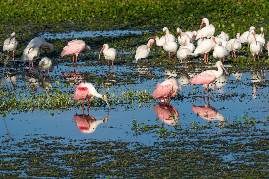
What I wasn’t prepared for was the birdlife. Within twenty minutes of leaving the dock we’d passed roseate spoonbills wading in the shallows, a heron standing so still it looked painted on, and a tree absolutely loaded with egrets that lifted off all at once when our engine got too close, a single white cloud rising off the mangrove canopy. Don Chepe named half a dozen species without slowing the boat, clearly used to a passenger’s excitement being the least interesting part of his morning. The estuary is part of a wider Ramsar wetland system, and it shows in the sheer density of what moves through it — this is one of the most important stopover zones for migratory shorebirds on the entire Pacific flyway, though nobody in the town seemed to treat it as anything more special than home.
When to go: Dry season (November–April) gives the calmest water for boat trips and the clearest skies for birdwatching; go out at first light, when both the birds and the fishermen are most active and the heat hasn’t yet settled over the estuary.
Keep exploring
More from Nicaragua
 nicaragua
 Quilalí
A remote coffee-farming town deep in the mountains of Nueva Segovia, reached by rough unpaved roads and marked, still, by the memory of the war fought through these hills.
Explore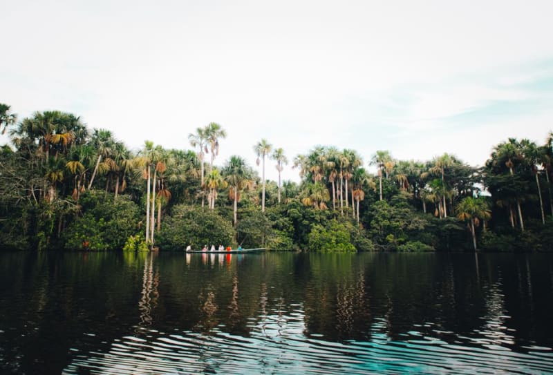 nicaragua
 Río San Juan
The river that pirates fought wars over, now a slow green corridor of rainforest and howler monkeys connecting Lake Nicaragua to the Caribbean Sea.
Explore nicaragua
 Rivas
The agricultural crossroads city everyone passes through on the way to Ometepe or San Juan del Sur, and almost nobody stops in — which is exactly why it's worth an hour.
Explore nicaragua
 San Juan de Oriente
The smallest of the Pueblos Blancos, where ceramic families have passed down pre-Columbian pottery techniques for generations without interruption.
Explore nicaragua
 San Juan del Sur
A Pacific surf town in a horseshoe bay — good waves, cheap lobster, and the kind of sunset that makes people extend their trip.
Explore nicaragua
 Selva Negra
A German-immigrant coffee estate hidden in the cloud forest above Matagalpa, where alpine chalets and Bavarian gables somehow feel completely at home in the tropics.
Explore