Apoyeque
"I asked three people in Managua about Apoyeque before I found one who'd actually been."
A near-perfect volcanic crater lake on the Chiltepe Peninsula that almost nobody visits, reachable only on foot, with two of Nicaragua's great lakes visible from its rim.
Apoyeque sits close enough to Managua that you can see its rim from certain rooftops in the capital, and yet almost nobody I talked to in the city had been there, or could tell me much beyond “it’s a lake in a volcano, out past the airport.” That kind of vague half-knowledge is usually a good sign in Nicaragua, and Apoyeque didn’t disappoint it. There’s no road to the crater itself — you park at the base of the Chiltepe Peninsula and hike up, and the trail sees so little traffic that in some stretches it’s more a suggestion between the grass than an actual path.
The Climb With No Crowd
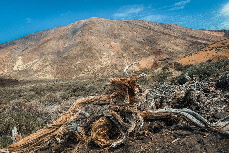
The hike up isn’t long, maybe ninety minutes each way, but it’s steep and shadeless for a good stretch, cutting through dry scrub that in the dry season turns brittle and pale gold. I went with a local guide named Ronaldo, hired through a small operator in Managua because the trail forks in a few places with no signage and getting it wrong means a long walk back to fix it. About two-thirds of the way up, the scrub thins out and you get your first look down into the crater — water so still and so cleanly circular that it looks almost engineered, a deep blue-green that shifts with the light and the angle of approach. Ronaldo told me maybe a few dozen people make this hike in an average week. Standing at the rim with nobody else in sight, I believed him completely.
Two Lakes at Once
What makes the summit genuinely remarkable isn’t just the crater lake itself — it’s what you can see beyond it. From the highest point on the rim, the land drops away on the opposite side to reveal Lake Managua, also known as Xolotlán, stretching out toward the capital in a wide grey sheet, with the city itself visible as a low smudge on the far shore. Turn slightly and, on a clear day, you can pick out the edge of Lake Nicaragua far to the south. It’s a strange, layered geography — a small crater lake balanced on a peninsula between two much larger ones — and I don’t think I’ve stood anywhere else in the country where three separate bodies of water were visible at once.
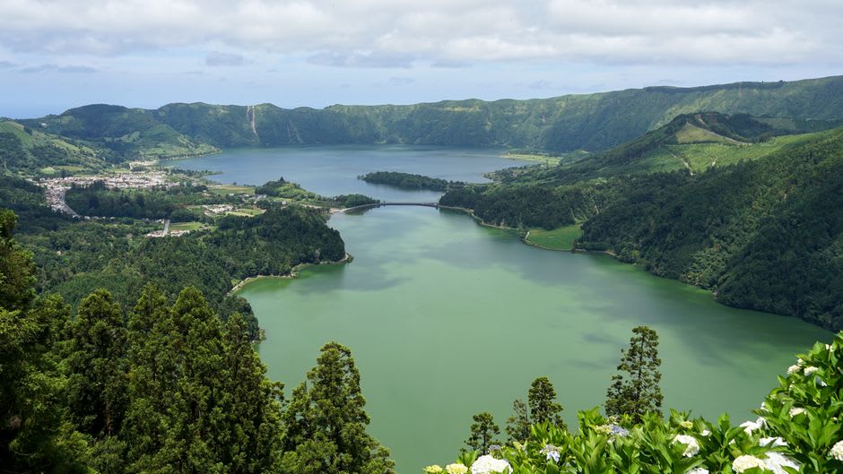
We didn’t descend into the crater itself — the interior trail is steeper and less maintained, and Ronaldo wasn’t confident about conditions that day — so we sat at the rim instead, ate the sandwiches we’d packed, and watched a pair of hawks work the thermals rising off the crater walls. It felt like one of the few genuinely undiscovered places left within striking distance of a capital city.
When to go: November through April, dry season, when the trail is firm and visibility toward both lakes is at its best. Go early to avoid the worst of the midday heat on the shadeless lower slopes, and hire a local guide — the trail forks are easy to get wrong.
Keep exploring
More from Nicaragua
 nicaragua
 Corn Islands
Big Corn Island's Caribbean culture and lobster dinners reward the effort of getting to Nicaragua's forgotten coast.
Explore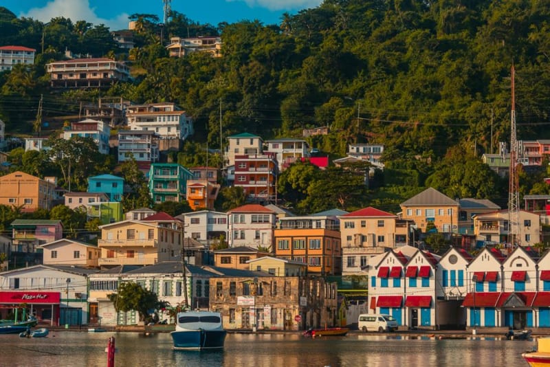 nicaragua
 Bluefields
A Caribbean port city where English and Miskito outrank Spanish, reachable only by boat or small plane, and utterly unlike anything on Nicaragua's Pacific side.
Explore nicaragua
 Boaco
Nicaragua's 'City of the Two Floors,' stacked on a steep hillside above dairy country, where cowboy hats are standard dress and the streets genuinely have levels.
Explore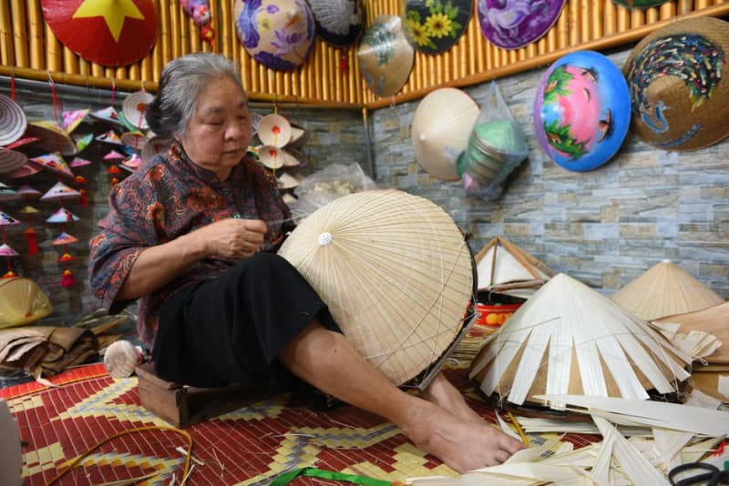 nicaragua
 Camoapa
A small cattle town near Boaco known across Nicaragua for its handwoven leather and palm-fiber hats, made by families who've done little else for generations.
Explore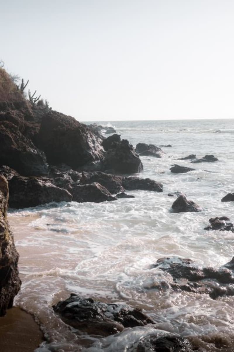 nicaragua
 Carazo Coast
A stretch of Pacific beaches below the Carazo highlands, from La Boquita to Casares, where cliffside views meet small fishing-village life.
Explore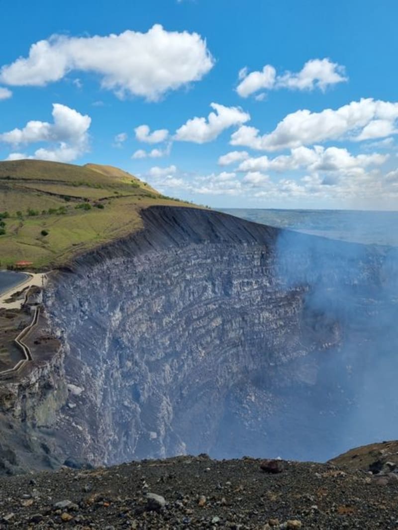 nicaragua
 Catarina
A hilltop Pueblos Blancos town whose mirador drops straight down into the turquoise crater lake of Laguna de Apoyo.
Explore