Nalaikh
"Forty minutes from the capital's shiny new towers, I was standing in a coal town that felt like a different decade entirely."
Ulaanbaatar's coal-mining satellite district, a rough-edged town in the hills where you can see, in one short drive, exactly how the capital's ger districts came to be.
Nalaikh isn’t on any tourist itinerary I’ve ever seen for Mongolia, and I understand exactly why — it’s a former coal-mining district on the southeastern edge of Ulaanbaatar’s greater metropolitan sprawl, not scenic in any conventional sense, its economy built and then largely unbuilt around a mine that has been in slow decline for years. I went because a Mongolian friend working in urban planning in UB wanted to show me what she called “the real edge of the city,” and because I’d been curious, after weeks of ger camps built for travelers, to see the actual ger districts that ring Ulaanbaatar and house a huge share of its population in far less romantic conditions.
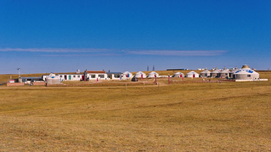
The drive out from central Ulaanbaatar takes under an hour, and the transition is stark — apartment towers and construction cranes give way within a few kilometers to the informal ger districts that have expanded steadily for two decades as herders, pushed off the land by harsh winters (dzud) or drawn by opportunity, move to the capital’s edges and set up gers on unserviced plots, often without reliable water, sewage, or paved roads. Nalaikh itself, further out still, retains its identity as a distinct mining town rather than simply an extension of the capital’s ger belt, with its own small central grid of Soviet-era buildings surrounded by the informal settlement pattern typical of the wider periphery.
My friend, Naran, introduced me to a family she knew through a community development project she’d worked on, a household headed by a woman named Tsetsegmaa who had moved to Nalaikh from Khövsgöl province a decade earlier after two consecutive brutal winters killed most of her family’s herd. She spoke plainly about the calculation involved — no illusions about the capital being an easy alternative, but a rational one when the alternative was watching a rebuilt herd die in a third bad winter. Her son now worked informal shifts helping transport coal from smaller private pits still operating in the area, work that was inconsistent and occasionally dangerous but paid better than anything available back in the countryside.
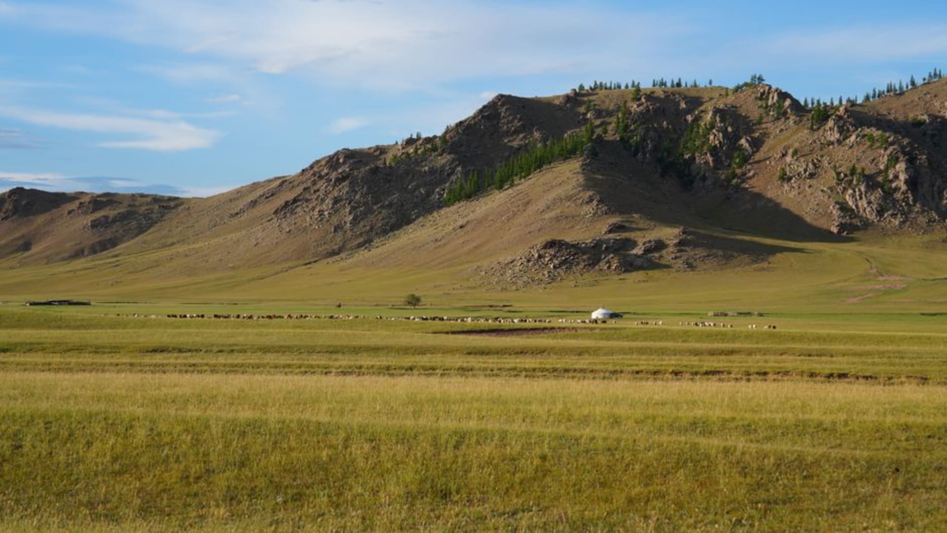
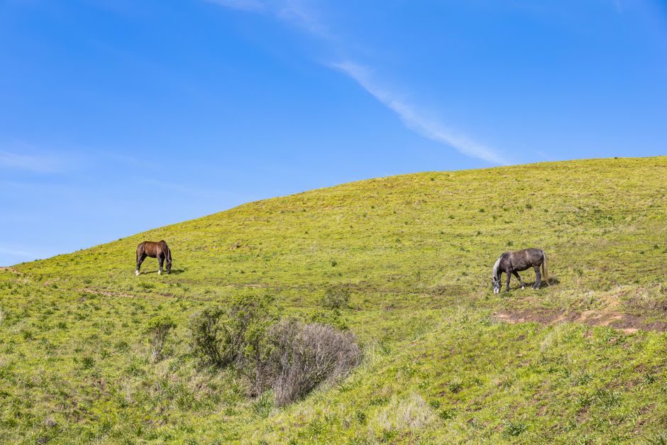
The hills around Nalaikh, away from the settled areas, open into surprisingly pleasant grazing land, and small herds of horses and goats still work slopes within sight of old mining infrastructure, a juxtaposition that captures something true about contemporary Mongolia better than any single steppe photograph could: the pull between the old pastoral economy and the newer, harder urban margins it’s increasingly feeding into.
I don’t think Nalaikh belongs on anyone’s highlight reel, and I’m not recommending it as a scenic stop. But if you want to understand modern Mongolia rather than only photograph its postcard version, an afternoon here does more of that work than most of the country’s better-known sights combined.
When to go: Any season, ideally arranged through a local contact or community organization rather than as an independent tourist stop — this isn’t a sight so much as a conversation, and it benefits from an introduction.