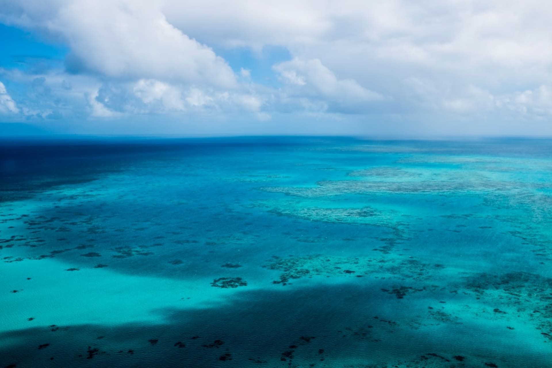
Majahual Coast
"The Caribbean the developers have not reached yet. Go before they do."
I drove down from Felipe Carrillo Puerto on a two-lane road that cuts through low jungle, the kind of drive where you start to wonder if you’ve missed a turn, and then the trees open and you’re looking at water so transparently blue it seems implausible. Mahahual itself is a small town — one malecón, a handful of restaurants, a cruise ship pier that empties out by four in the afternoon and leaves the place to the people who actually chose to be there. I arrived on a Tuesday, which helped.
The Reef Just Off the Shore
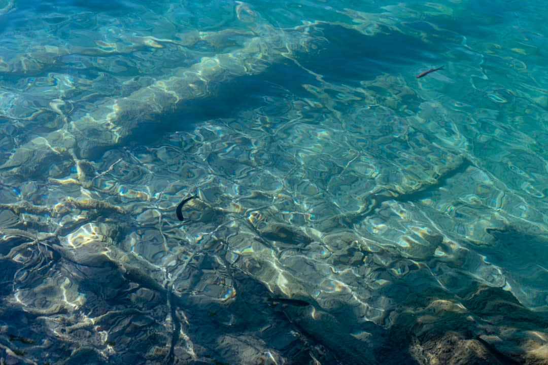
The Mesoamerican Barrier Reef runs along this entire coast, close enough to the shore that you can wade out and be over living coral before you’ve gotten properly wet. I snorkelled twice a day for three days and the reef changed each time — morning light hitting the fan corals differently than afternoon, the fish behaving differently depending on the tide. A local guide named Edilberto runs trips south toward the Banco Chinchorro atoll, a forty-kilometre detour into open water that feels genuinely remote; he charges a fair flat rate and brings better sandwiches than any dive shop I’ve dealt with on the Riviera Maya. The Chinchorro trip is a full day and rough in any wind, but the visibility in the atoll is something I haven’t found anywhere else in Mexico.
Eating on the Malecón and South of Town
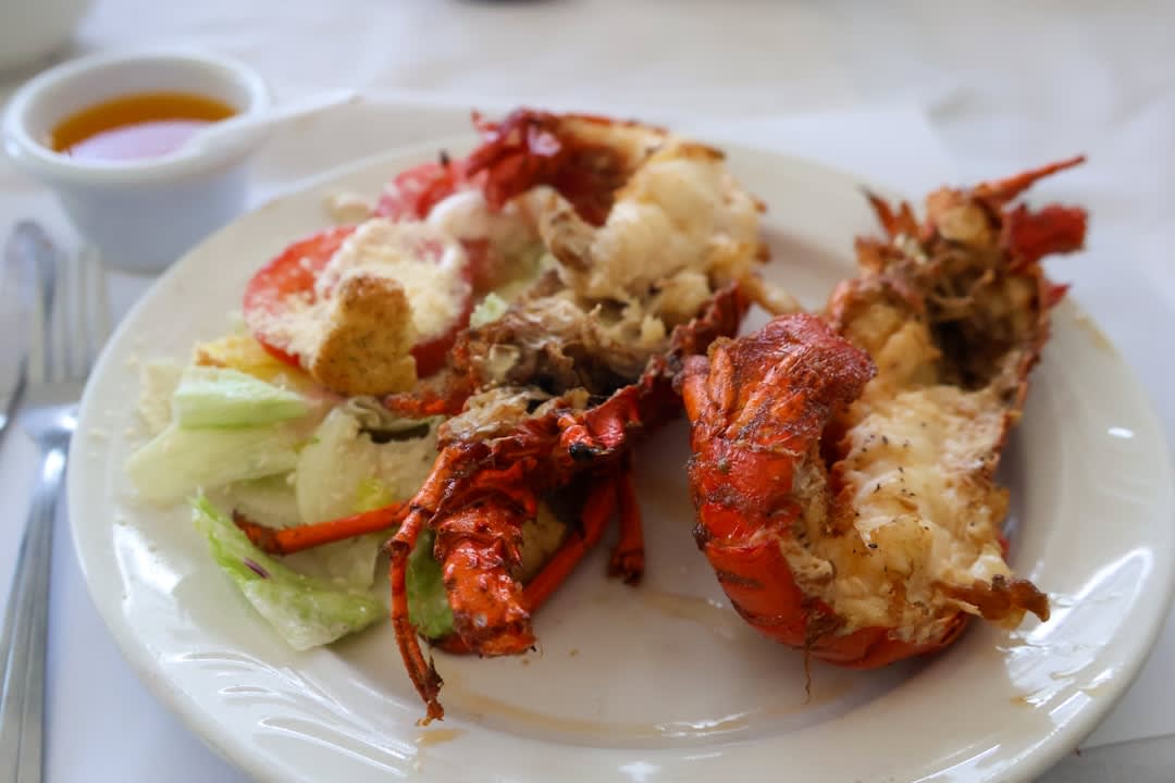
The restaurant I kept returning to was a palapa place called La Cueva del Pescador, no sign visible from the road, plastic chairs, a chalkboard menu that changes by what came off the boats. Lobster tostadas arrived on a plate the size of a hubcap — two of them, with sliced habanero and a lime wedge, for a price I’d pay for a coffee in Tulum. The ceviche de pulpo was sharper, colder, better. South of town toward Xcalak the road becomes unpaved and the restaurants thin out, which is precisely the point; there’s a small operation near Río Indio that grills whole fish to order while you sit on a dock over the lagoon. I don’t know if it has a name. I wrote down the kilometre marker and went back twice.
The Mangrove Lagoons Inland
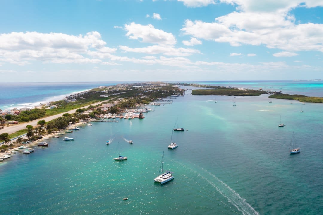
The coast’s other half is the lagoon system that runs behind the barrier of sand and vegetation — mangrove channels, bird life, the occasional crocodile on a log looking entirely unbothered. Kayaking into that system at dusk, when the herons are moving and the light goes orange across the water, is one of those experiences that doesn’t photograph well and sits in your memory exactly as it was. The mangroves also explain why this stretch hasn’t been developed: it’s protected federal zone, and the logistics of building here are genuinely difficult. I am grateful for both.
Getting There
From Cancún, it’s roughly four hours by car — south on Highway 307 to Felipe Carrillo Puerto, then east on 307 toward the coast. There is no direct bus from Cancún; the ADO reaches Chetumal, from where collectivos run to Mahahual on market days. Having a car matters here. The road south toward Xcalak is passable in a standard vehicle in the dry season but rewards patience either way.