
Banco Chinchorro
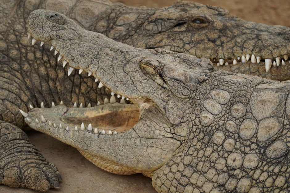
"The fisherman pointed to a logwood piling a few metres from the hull. 'Careful there,' he said without looking up. 'Cocodrilo.' I had not noticed it watching us from the shadow."
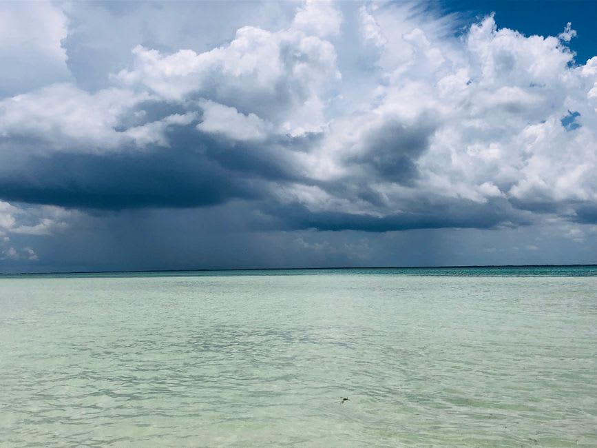
I was on the boat for two and a half hours before the coast disappeared entirely. The Caribbean between Xcalak and Banco Chinchorro is not a gentle crossing — the water deepens fast, turns from that shallow mint of the reef shelf to something closer to lapis, and the horizon holds nothing except the occasional frigate bird tracking the hull. When the atoll finally materialized, it looked less like land than like a rumor of it: a thin white line, improbable and low. The fisherman at the stern had not spoken in an hour. He pointed to a logwood piling a few metres from the hull. ‘Careful there,’ he said without looking up. ‘Cocodrilo.’ I had not noticed it watching us from the shadow.
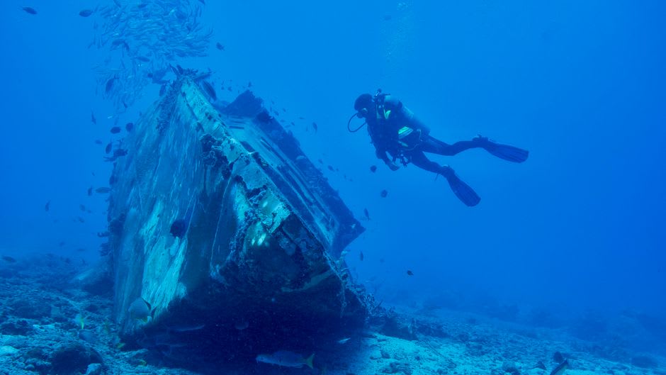
Wrecks and Walls
Banco Chinchorro is Mexico’s largest coral atoll, roughly 42 kilometers long and 18 wide, and it exists in several centuries at once. At low tide, the wooden ribs of 18th-century ships break the surface of the western lagoon — close enough to swim over without equipment. The park service has numbered them without excavating, which seems right. On the eastern edge, the reef drops off a wall from three meters to well beyond visibility, the kind of dive where depth becomes easy to lose. I went in around six in the morning while the light was still low, filtering through the water in broken shafts. Nurse sharks rested on the bottom. A green sea turtle — large enough to block the sun for a moment — passed overhead without any apparent interest in me. This is a biosphere reserve: no anchoring on the reef, no fishing within the protected zone. It shows in the density of life down there, in a way that makes you quietly aware how depleted most reefs now are.
The Lobster Season
The palafito camps at Cayo Norte exist only during fishing season, roughly July through February. The platforms — wood-framed, raised over the shallows on pilings — house a few dozen fishermen at a time, men who work the outer traps every few days and wait out the swells in between. There is no freshwater on the caye, no grid electricity, no phone signal. Water comes from tanks hauled from the mainland; generators cut before ten at night. I ate dinner with the crew that had brought me out: rice, black beans, a grilled lobster tail pulled from a trap that afternoon, a bottle of Presidente passed once the plates were cleared. The conversation was about engines and whether the swell would hold. Nobody mentioned the setting. When you live somewhere extraordinary long enough, it just becomes where you are.
What the Visit Actually Requires
Come for at least two nights if you can manage it. Day trips from Xcalak technically work but leave no room for early-morning dives, which are different in quality from midday ones — the light, the behavior of the wildlife, the absence of other boats. The crocodiles are most active at dusk and dawn along the inner lagoon edge; give them room, and don’t wade in shallow areas after dark. Bring everything from the mainland: sunscreen, cash for the guide and crew, any medication you need. No ATMs, no shops, no signal once you’re offshore. That last part matters less than you’d expect.
Getting There
Xcalak is the departure point — a small fishing village 60 kilometers south of Mahahual along a road that takes longer than the map suggests. From Chetumal, plan on three hours by car or collectivo. Crossings to the atoll require a licensed guide and a biosphere reserve permit arranged in advance; boats depart early morning. The crossing itself takes two to three hours depending on sea state. May through August offer the calmest conditions.