Mulegé
"I kept trying to explain the river to people who had never been to Baja — the absolute shock of seeing green in all that ochre — but you just have to go."
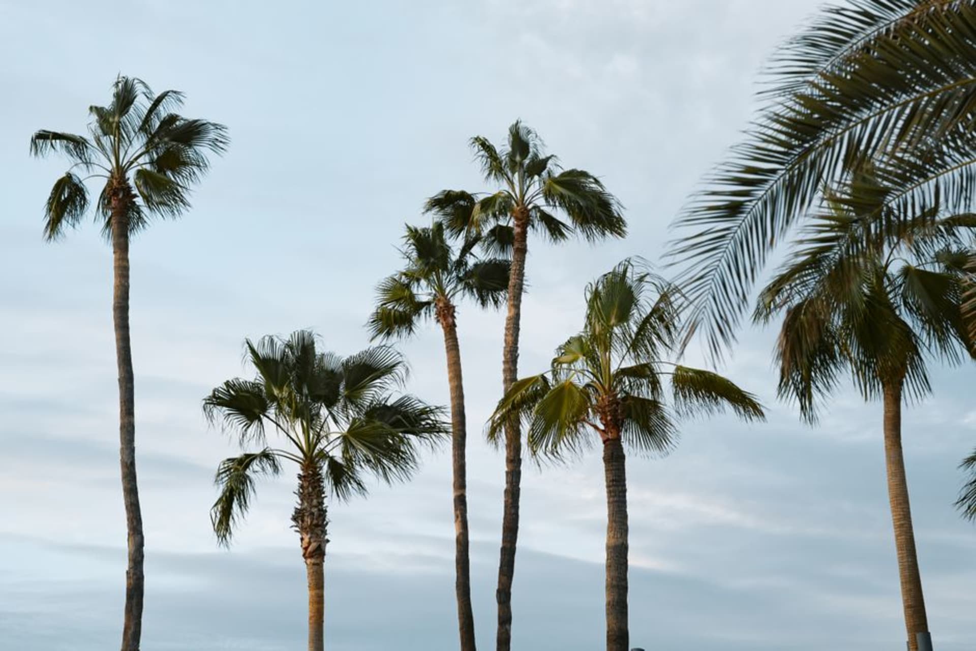
I came into Mulegé from the north on the Transpeninsular, running through hours of cardón and creosote, that particular Baja palette where every color is some shade of dust. Then the highway dipped and there it was: the Río Mulegé cutting through the bottom of a canyon lined with date palms so dense and so deliberately green that my first instinct was that someone had painted them there. I pulled over at the bridge and stood in the afternoon heat looking at what should not exist, which is apparently what everyone does the first time.
The River That Has No Business Being Here
The Río Mulegé is fed by the Sierra de Guadalupe and, unusually for Baja, actually maintains enough flow to reach tidewater at the Sea of Cortez. What that means at ground level is a riparian corridor maybe a kilometer wide and several kilometers long where date palms planted by Jesuit missionaries in the eighteenth century now grow shoulder to shoulder above a narrow channel of brown water. Herons stand in the shallows with the complete self-possession of birds that know they have the best real estate for fifty kilometers. In the early mornings I walked the dirt track along the east bank — it starts just off Calle Madero — and watched the light come through the palm fronds in columns while the desert hills behind turned from grey to copper. The contrast is almost embarrassing in its drama, and the thing is, the river is not large. It would be unremarkable almost anywhere else. Here it is a small miracle.
The Prison on the Hill
The old federal penitentiary above town operated under a rule I find hard to believe and have since confirmed: inmates were required to return by nightfall but spent their days working freely in Mulegé, eating in the market, running errands. The town essentially functioned as their open yard. The building is a museum now and the view from the terrace — river, palms, the estuary opening toward the sea, the whole improbable green band bisecting the brown — is the best in the region. I went up around four in the afternoon when the light was low and the air had cooled enough to think clearly, and I stayed until the keeper started locking the outer gate.
Eating and Staying
The town is small enough that orientation takes about twenty minutes on foot. For seafood, the fondas near the central plaza serve callo de hacha — pen shell scallops — that come from the nearby estuary and are better than anything I had farther south in La Paz. There are a handful of small hotels along the river road; the ones with palapa roofs and no air conditioning are cooler than they look, because the palms do something useful to the humidity. Go in October or March if you can — summer heat here is serious business.
Getting There
Mulegé sits on Highway 1, the Transpeninsular, roughly midway down the Baja peninsula — about four hours south of Santa Rosalía by car and three hours north of Loreto. There is no bus terminal proper; northbound and southbound Águila buses stop on the highway at the edge of town, usually in the early morning hours. Most people arrive by road on a longer Baja drive.