Xunantunich
"The ferry across the Mopan River is hand-cranked. Everything about Xunantunich earns the effort it asks of you."
The ferry across the Mopan River is operated by a man whose name I didn’t catch but whose forearms I won’t forget. The boat is a small flat-bottomed thing, big enough for four passengers and two bicycles, and it crosses the Mopan on a cable by hand crank — the ferryman turning the mechanism with a casual efficiency that suggests he makes this crossing thirty times a day, which he probably does. The river is shallow and green and fast, and the Guatemala hills are visible on the far side, close enough that you could shout and be heard. The whole crossing takes ninety seconds and costs a Belizean dollar. It is the most elegant introduction to an archaeological site I’ve encountered anywhere.
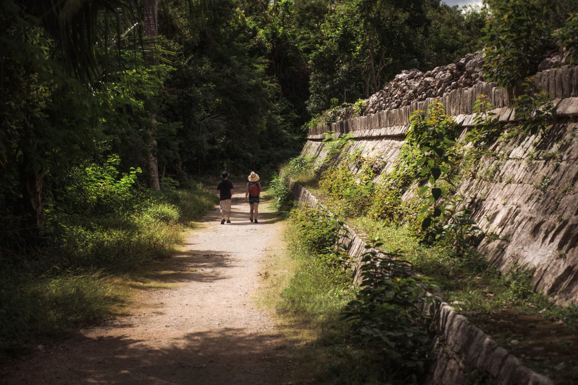
Xunantunich sits on a limestone ridge above the river, and the approach is uphill on a footpath through dry scrub that opens suddenly onto the main plaza. The plaza here is smaller than Tikal’s Gran Plaza, smaller than Copán’s, and that compression changes the experience — you can stand in the center of the ceremonial precinct and understand its organization in a single glance, the relationship between El Castillo and the two flanking buildings reading as coherent architecture rather than accumulated structure. Xunantunich was a secondary center in the Classic Maya political network, not a Tikal or a Caracol, but its buildings were constructed with care and the setting — on the ridge, with the Mopan valley visible on both sides — was clearly chosen for reasons beyond mere defensibility.
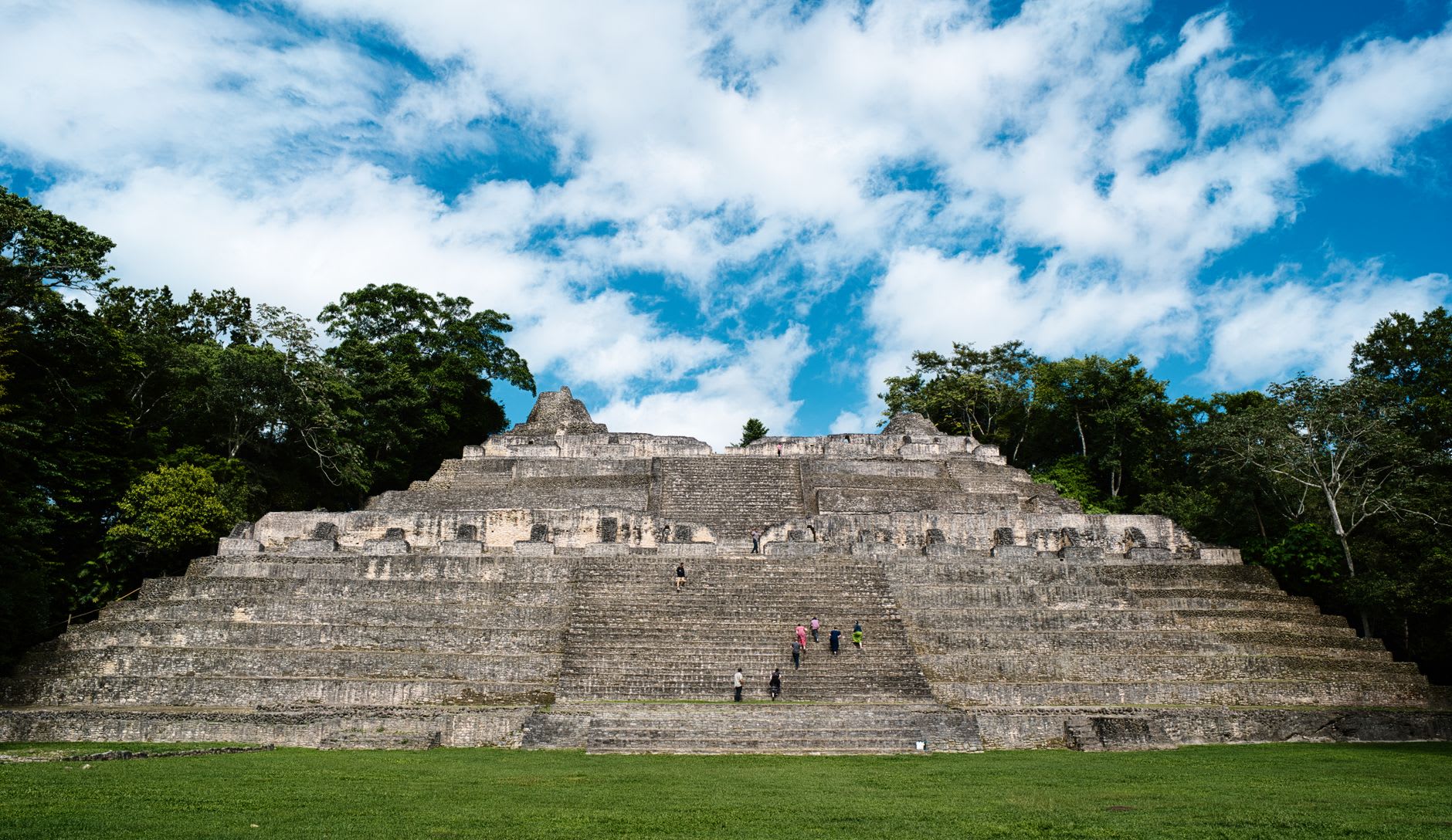
El Castillo, the main pyramid, stands about forty meters and is fully climbable on a staircase that has been consolidated and stabilized. The climb is steep but manageable, and the view from the top is one of the more disorienting in the Maya world — you can see Guatemala from the summit, the hills of the Petén hazy and green behind the Mopan valley, the same territory visible from the other side at Tikal. The Maya did not recognize the border, because there was no border. Looking at this landscape from El Castillo’s summit, the political geography of the Classic period makes a different kind of sense than it does on a map.
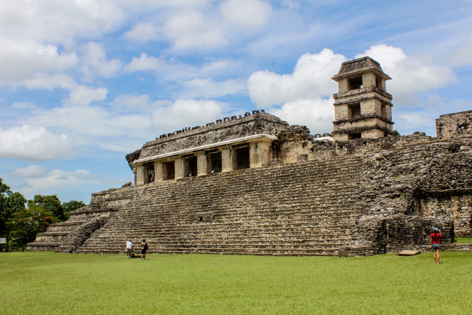
The stucco frieze on El Castillo’s second level is the site’s formal treasure. It runs along the east and west faces, depicting figures and astronomical symbols in a low relief that was originally painted — traces of red and white pigment remain in the sheltered sections. The frieze survived because the upper portion of the pyramid was never completed, encasing and protecting what had already been built below. Archaeology rewarded an unfinished project.
The town of San José Succotz, on the Belize side of the river, is where you find the ferry and a small cluster of restaurants serving rice and beans and stewed chicken in the standard Belizean configuration, which is better than its description suggests. Benque Viejo del Carmen, ten minutes further, has a more complete commercial infrastructure and a border crossing into Guatemala that functions well if you’re continuing the overland route south into the Petén.
When to go: November through April for dry season. The site is manageable year-round — the scale is intimate enough that even a rainy-season visit doesn’t overwhelm the experience. Tuesday through Saturday are better than Sundays, when local families from Belmopan make the trip and the summit of El Castillo gets briefly crowded.