
Ailinglaplap Atoll
"The chart doesn't show you where islands are. It shows you how the water moves. Which is the same thing, if you know how to read it."
I had seen Marshallese stick charts in museums in Honolulu and Copenhagen — these lattices of coconut midrib and cowrie shells that pre-contact navigators used to encode the behavior of swells, the way ocean waves bend and reflect around islands, the feel of a current at your fingertips on a dark crossing. In those museum cases they looked like abstract art, beautiful and opaque. On Ailinglaplap, watching a man named Jorelik demonstrate one against his knee while explaining the swell patterns of the Ratak chain in relation to where we were sitting, they made immediate sense. The ocean information was right there in the structure of the thing. The shells marked islands. The bent sticks marked currents. The geometry was the knowledge.
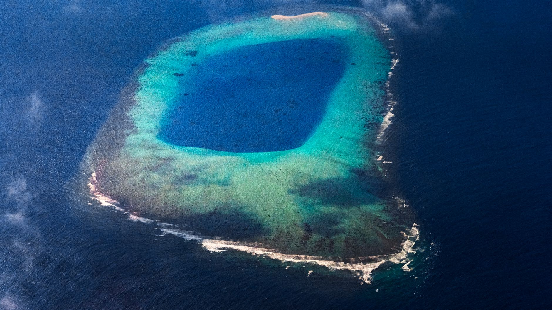
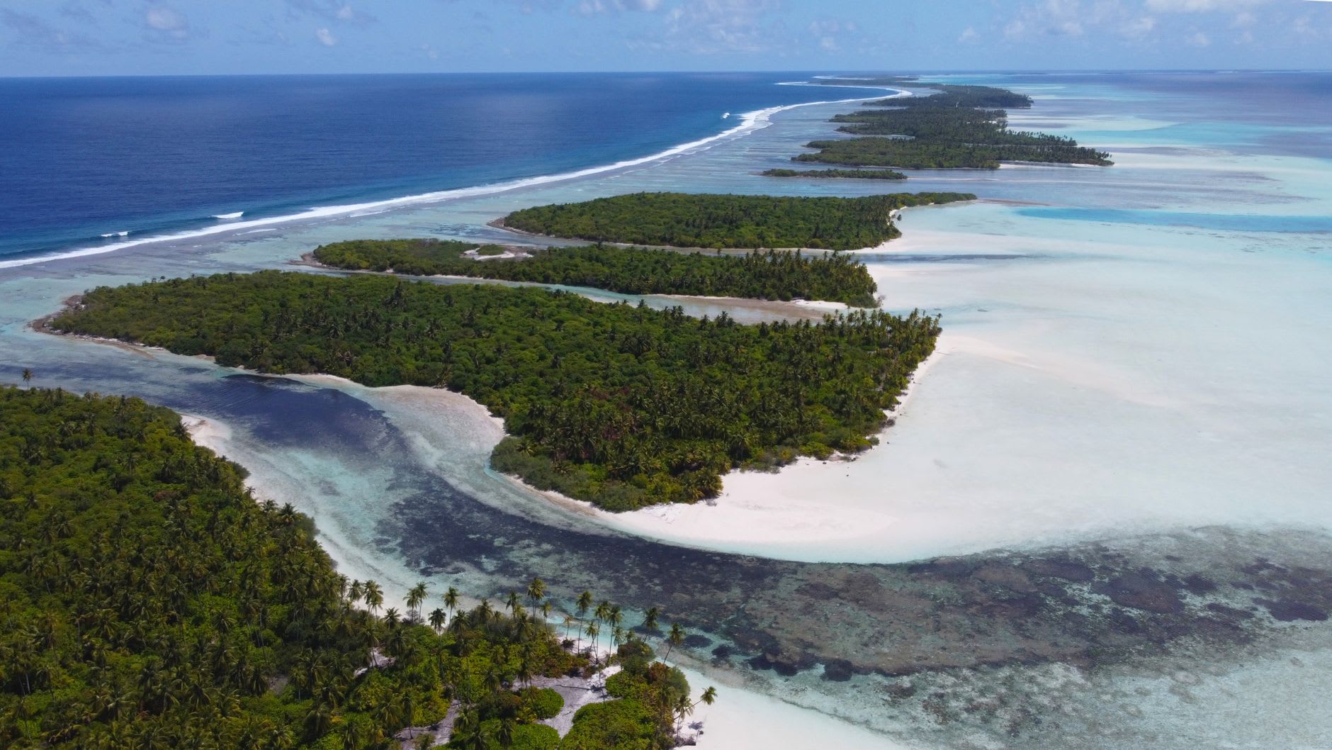
Ailinglaplap is one of the largest atolls in the Marshalls by total land area — 14 square kilometers across 56 islets, with a lagoon roughly 26 kilometers wide. It has approximately 1,900 inhabitants, which makes it more populous than most of the outer atolls, and consequently somewhat better supplied. There is a clinic, a school, a modest co-operative store. The flight from Majuro takes under an hour in a prop plane that shares the route with cargo nets of rice and occasional live chickens secured with zip ties. The airstrip ends close enough to the lagoon edge that the undershoot approach gives you the queasy impression of landing directly in the water.
The economy runs on copra — dried coconut meat pressed for its oil — and fishing. Both are visible from anywhere on the main islet: rows of coconut halves drying in the sun outside almost every house, small fishing boats pulled up on the reef flat at low tide, nets being repaired in the shade of breadfruit trees. The smell of drying copra is distinctive, somewhere between vanilla and fermentation, and it gets into everything — clothes, hair, the pages of a notebook left open on a table. After two days I stopped noticing it. After four days I started to like it.
What Ailinglaplap offers that few other outer atolls can match is depth of cultural practice. The traditional navigational knowledge is still transmitted here between generations. A community center holds workshops where young people learn to build mattang and rebbelib charts and, more importantly, learn what the charts represent — not as historical artifact but as live system, one that some local fishermen still use as supplementary knowledge to GPS. An elder named Lañejo, who must have been eighty, took me through the specific swell signatures of three different passes into the lagoon. I understood none of the vocabulary and absorbed everything else.
When to go: Ailinglaplap is accessible by inter-island flight from Majuro on a schedule that varies by season and aircraft availability. December through April is the better half of the year for weather. Contact the Marshall Islands Visitors Authority about accommodation with local families before traveling. The cultural workshop programs occasionally accept outside participants — ask specifically about this when arranging your visit.