
Bayou Teche
"I watched the water for five minutes before I could be sure which direction the current was moving."
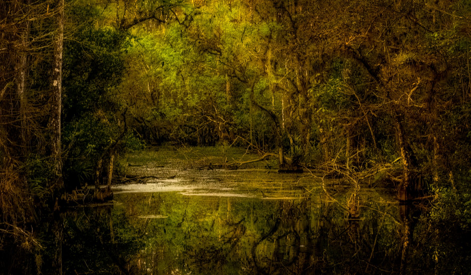
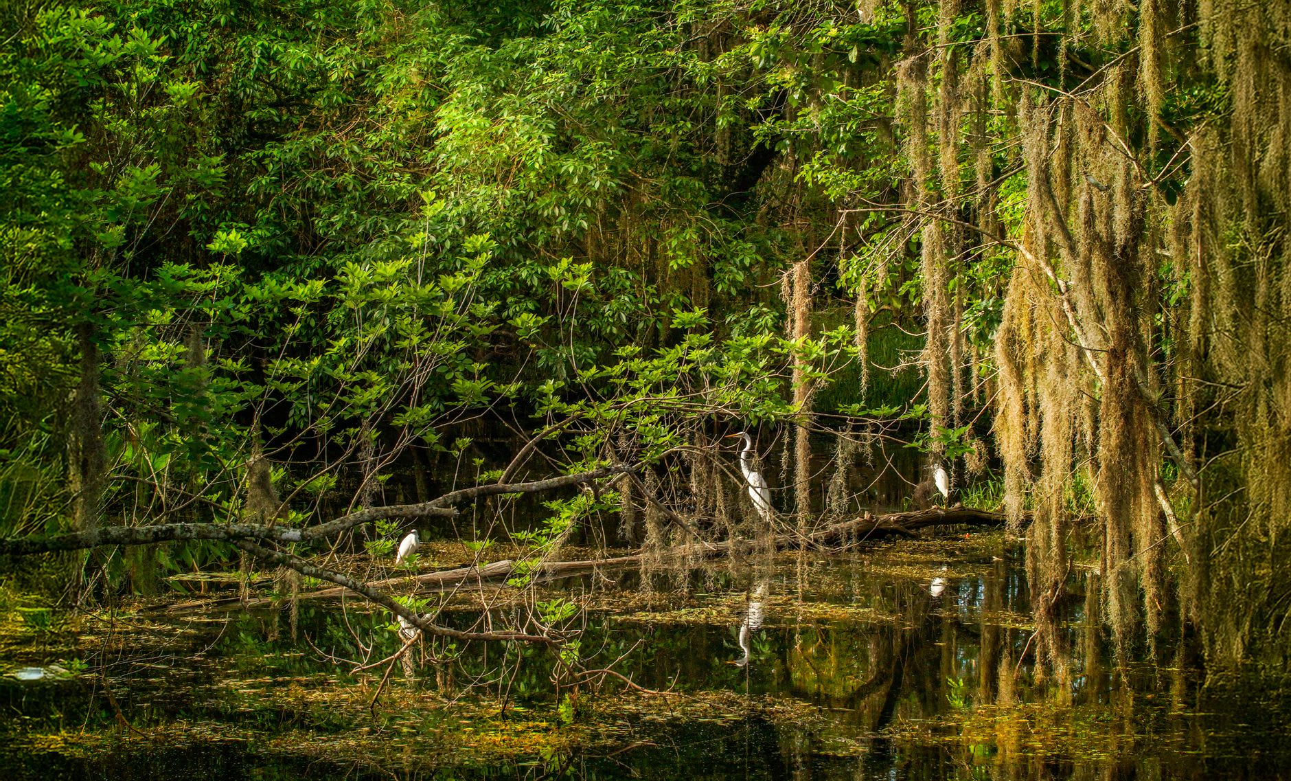
The Teche moves so slowly it barely seems to move at all. I pulled off LA-31 south of Breaux Bridge and parked on the bank and watched the brown water for five minutes before I could be sure I’d chosen the right direction for the current. Cypress trees leaned over the surface, their knees poking up through the water like the fingers of something trying to climb out, and a great blue heron stood on a half-submerged log with the particular patience that herons have — that absolute stillness that makes them look like they’ve made peace with time in a way most of us haven’t.
The Bayou Teche runs for 125 miles through the Acadian heartland, from the Atchafalaya Basin south through St. Martin, Iberia, and St. Mary parishes. It was the original road through this country — Acadians arrived along it, built their farms along it, organized their entire existence around its slow brown flow. Driving LA-31, which follows the Teche almost the whole way, is one of those American road trips that doesn’t feel American at all. The names on the mailboxes — Thibodaux, Broussard, Fontenot, Breaux — announce the French inheritance as clearly as any road sign.
St. Martinville sits on the Teche like something time forgot at the bottom of a drawer and only recently rediscovered. The Evangeline Oak — that enormous live oak where, according to legend, the Acadian exile Emmeline Labiche met her lost love — still stands at the bayou’s edge, draped in Spanish moss, indifferent to the tourists photographing it. The town square holds a French colonial church, a small museum, and a café. Nothing has been aggressively restored or monetized. It’s just there, aging peacefully in the way that places age when no one is pushing them to do otherwise.
Fishing camps line the bayou’s banks further south — low screen-porched structures sitting on pilings above the waterline, boats tied at the foot of narrow docks, coolers on porches. Cane fields appear between the bayou towns, their rows running in perfect lines toward a flat horizon. This is the Louisiana that most people speed through to reach New Orleans, and that’s precisely why it remains so fully itself.
When to go: March through May is magnificent — the cane fields are green, wildflowers line the road shoulders, and the temperatures are still humane. Fall works equally well. Avoid July and August: the heat here is genuine, the kind that makes you understand why Cajuns historically organized their days around the shade and their lives around the water.