Nimba County
"At the border of three countries, the mountain doesn't acknowledge any of them."
The road to Ganta from Monrovia is one of the better ones in Liberia — rebuilt with international money and relatively maintained — and I made the 240 kilometers in under five hours, which felt like a small miracle. Past Ganta, the commercial hub of Nimba County near the Guinea border, the road degrades and the land rises. The hills come closer, the forest thickens on the upper slopes, and to the northeast the massif of Mount Nimba begins to appear above the treeline — a long ridge running roughly east-west along the border, its highest point at 1,752 meters, the tallest landform in Liberia.
The mountain sits at the convergence of three national territories — Liberia, Guinea, and Ivory Coast — and that geographic position has given it a peculiar political and ecological history. The Guinean and Ivorian sides are UNESCO World Heritage Sites; the Liberian side is still working through the conservation legacies of the civil war period. What this means in practice is that the communities living near the mountain have spent decades navigating the simultaneous presence of an iron ore mine on the lower slopes and primary montane forest above it — two things that want entirely different things from the same piece of land.

I went up with a guide named Adolphus from a village at the foot of the range. He had worked previously for the mining company in a capacity he described obliquely and then changed the subject. The trail we took cut through secondary forest on the lower slopes — cleared and regrown, now in that middle state where the trees are young and close together and the light falls differently than in the primary forest. Higher up, the vegetation shifted: the trees shorter and more gnarled, the ground more open, the air noticeably cooler, which after days of coastal humidity felt almost shocking. The chimpanzee habitat up here is still recovering from the disruption of the war years, and Adolphus showed me feeding signs on the trail, fresh enough that he said we might encounter a troop. We didn’t, but I found myself walking more quietly anyway.
The view from the upper ridge, on a morning when the harmattan haze allowed it, took in an enormous sweep of forested hills rolling south into Liberia, and to the north the savanna-edge landscapes of Guinea beginning just beyond the border. The political boundary is invisible from up there, which feels exactly right. The mountain predates every nation that has laid claim to it by an interval that makes the claim feel appropriately modest.

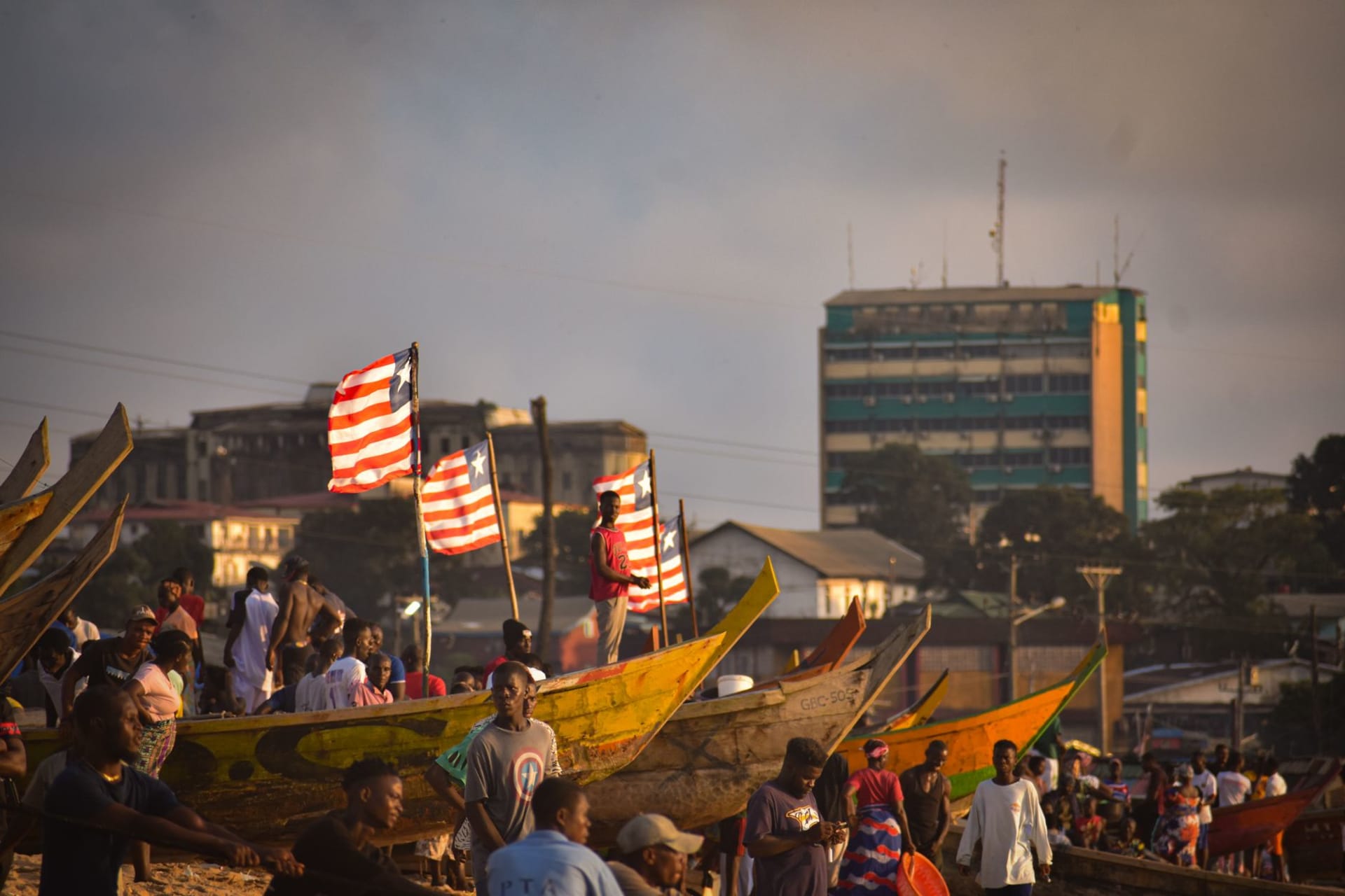
Nimba County is also the most ethnically complex part of Liberia — Mano, Gio, Mandingo, and other communities layer over each other here in ways that have sometimes been violently contested and are currently negotiated through a complicated local politics I understood only partially. The market at Ganta, where goods cross between Liberia, Guinea, and Ivory Coast with a creative approach to customs formalities, is one of the most vivid in West Africa: three culinary traditions, three cloth traditions, three languages mixing into something that isn’t quite any of them. I ate fufu at a stall where the woman spoke to me in Mano, then French, then gave up and pointed at the food, which was exactly the right answer.
When to go: November through February, when the dry season makes the mountain trails walkable and the harmattan sometimes clears enough for views across three borders. The road to Ganta is passable year-round; beyond Ganta toward the mountain, conditions vary and local advice from anyone in Ganta is essential before proceeding.