Pangong Tso
"I sat at the edge for two hours and the lake changed color four times. I stopped taking photos and just watched."
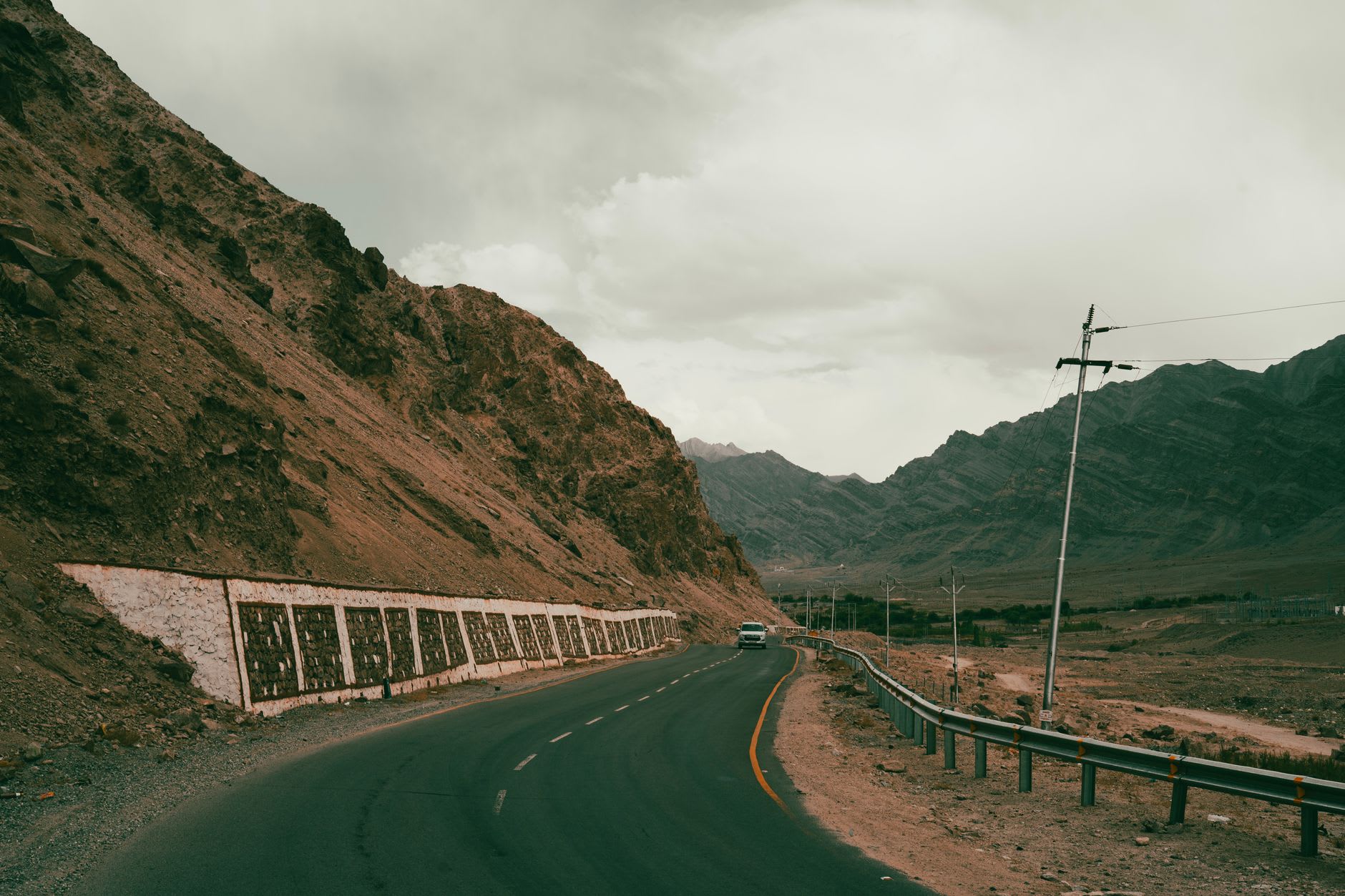
The road to Pangong Tso crosses Chang La, one of the world’s highest motorable passes, at 5,360 meters. By the time the jeep crested it, I had been wedged between two strangers for four hours and my fingers had gone cold inside my gloves. Then the descent began, and the landscape opened up in a way that is genuinely difficult to describe — not a gradual reveal but a sudden emptying of everything, the hills drawing back, the sky pressing down, and then, at the end of a long straight that seems to run off the edge of the world, the first sliver of blue. Not sky — the lake.
Nothing prepares you for the color. I had seen photographs, of course — the saturated blues of the social media posts, the Bollywood scene everyone references — but photographs flatten it and give it a single register. In person, Pangong Tso is restless. The water shifts from steel grey to turquoise to cobalt to something approaching violet depending on where you stand and what the clouds are doing. The wind corrugates the surface into dark ridges that move toward the south shore like slow pulses. The mountains on the far side — those are in China, someone told me, pointing across a distance that looked like twenty kilometers and is actually much more — reflected in the still patches close to shore as if the lake were a dropped mirror.
I stayed two nights in a tented camp near Spangmik village, at the western end of the lake. The camp was basic — sleeping bags, canvas walls that pressed in when the wind hit, a diesel generator that cut at ten — but the location made all of it irrelevant. What I remember is the quality of the nights. Out here at altitude, with no town lights for fifty kilometers in any direction, the sky does what sky is supposed to do: fills itself with stars so densely that the Milky Way looks structural, load-bearing. The cold was serious — well below zero by midnight — but I got up twice to stand in it, because some forms of discomfort are worth exactly what they cost.
Sunrise was the ritual. The camps begin stirring before five, making quiet sounds — tea being poured, camera bags unzipped — and then the first light comes over the eastern ridge and hits the water and everything goes briefly, impossibly golden. For maybe fifteen minutes the lake is a different thing entirely: warm-toned, gentle, the surrounding mountains reflected in it the color of embers. Then the sun rises properly and the blue reasserts itself and the landscape snaps back to its usual severity. Other mornings at other places have been beautiful. Pangong Tso at dawn was something else — the kind of thing that makes you feel slightly embarrassed by how moved you are by light.
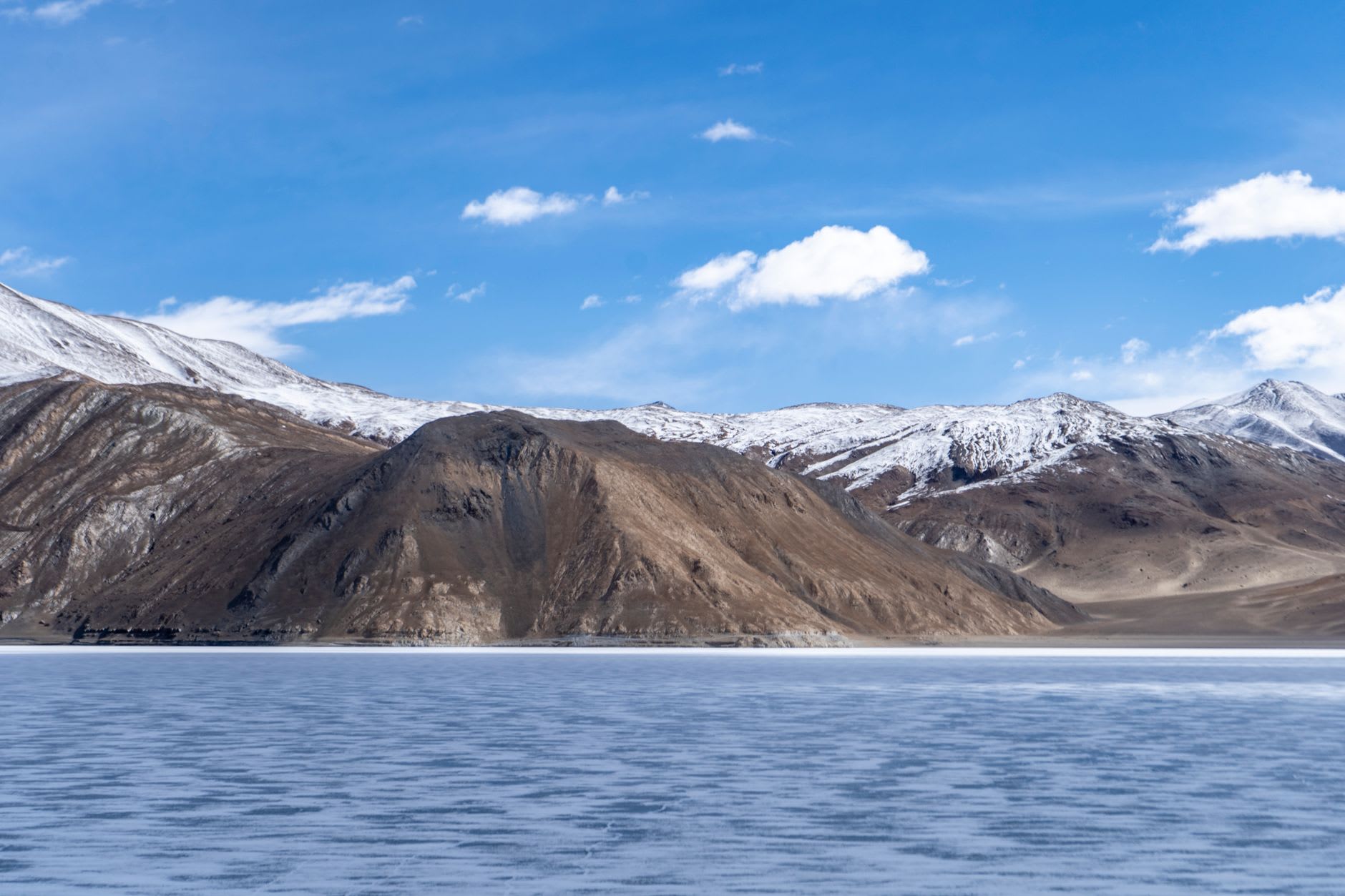
The far eastern end of the lake, toward Chushul and the Line of Actual Control with China, is where Pangong reveals its stranger character. The Indian Army has posts along the south shore road. You pass checkpoints where soldiers check permits with the practiced efficiency of people who have done it ten thousand times. The Chinese military installations are visible across the water on clear days, white structures small as sugar cubes on the far slope. The lake runs 134 kilometers end to end — two-thirds of it in Chinese-controlled territory — and the geopolitical reality of that is a dull background hum beneath all the beauty. It does not diminish anything. It just adds a layer.
When to go: July through mid-September gives the clearest access and the most stable weather. The south shore road to Chushul opens later and closes earlier than the main Leh–Pangong route. September is the quietest month with the most dramatic sky — the monsoon has passed, the air has cleared, and the afternoon light is extraordinary.