Rammang-Rammang
"Somewhere between Guilin and a fever dream, and almost nobody outside Sulawesi has heard of it."
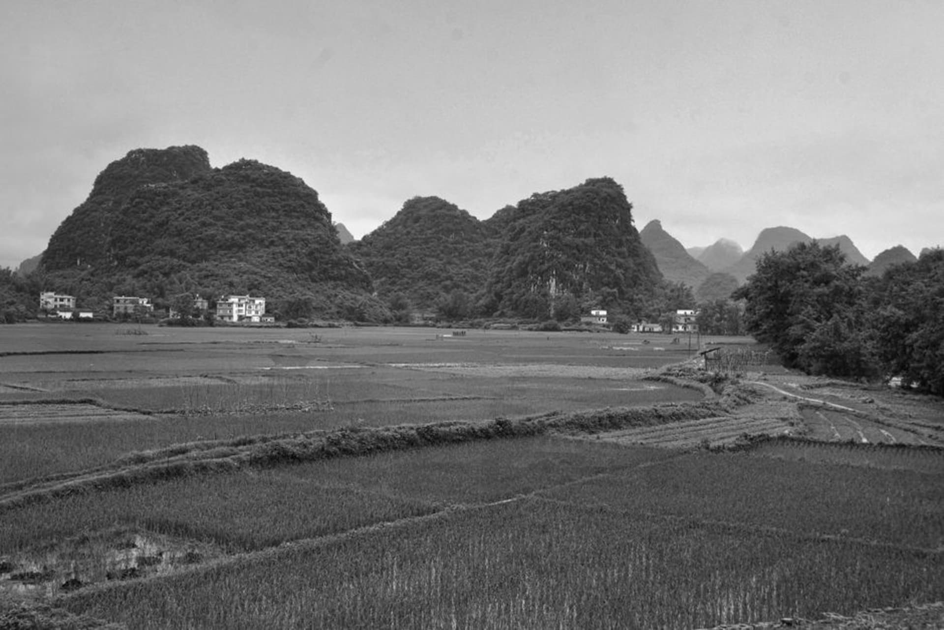
A village of stilt houses and rice paddies dwarfed by karst towers so improbable they look drawn rather than eroded.
The boat ride in is what sells Rammang-Rammang before you’ve even arrived. You climb into a narrow wooden perahu at a jetty outside Maros, the boatman starts the outboard, and for twenty unhurried minutes you drift along the Pute River between mangrove roots and limestone walls that keep rising the further you go, until you round a bend and the karst towers of the Maros-Pangkep formation open up in front of you like a stage set. It’s the second-largest karst region on Earth after southern China’s, and this stretch of it — Rammang-Rammang village — is where the landscape performs its best trick: farmland and forest and vertical stone all occupying the same square kilometer, none of it looking like it should coexist.
The name itself comes from the local Makassarese/Bugis word for clouds — rammang — because on humid mornings mist pools low around the towers and drifts through the gaps, making the peaks look like they’re floating free of the ground. I got lucky with a 6am boat and watched exactly that happen: fog burning off in slow ribbons while roosters somewhere in the village argued with each other. It’s the kind of scene that photographs well but undersells how quiet it actually is — no traffic, no generators, just water against the hull and birds working the treeline.
Life Between the Towers
Rammang-Rammang is a working village, not a stage. Rice paddies wedge into every flat patch of ground the karst allows, and farmers here have adapted to growing in the shadow of stone walls that block sun for parts of the day and flood unpredictably when the wet season swells the river. Walking the raised paddy dikes past the village, past water buffalo half-submerged in mud pools cooling off, past kids fishing with bamboo poles nearly as tall as they are, gives you a version of rural Sulawesi that tourism hasn’t smoothed over yet. There’s a small cluster of warungs near the boat dock and not much else in the way of infrastructure — bring cash, bring water, expect nothing polished.

The area’s other claim, quieter than its scenery, is archaeological. This is the same broader karst system that holds some of the oldest known cave art on the planet, and smaller, less-visited caves around Rammang-Rammang have turned up their own prehistoric traces — hand stencils, sediment layers researchers are still working through. There’s talk locally of more sites waiting to be properly surveyed, tucked into limestone chambers that farmers have known about for generations but that archaeology only reached in the last few decades. It gives the towers an extra weight once you know it: not just scenery, but something closer to an open-air record of people who lived among these same rocks tens of thousands of years before the rice paddies existed.
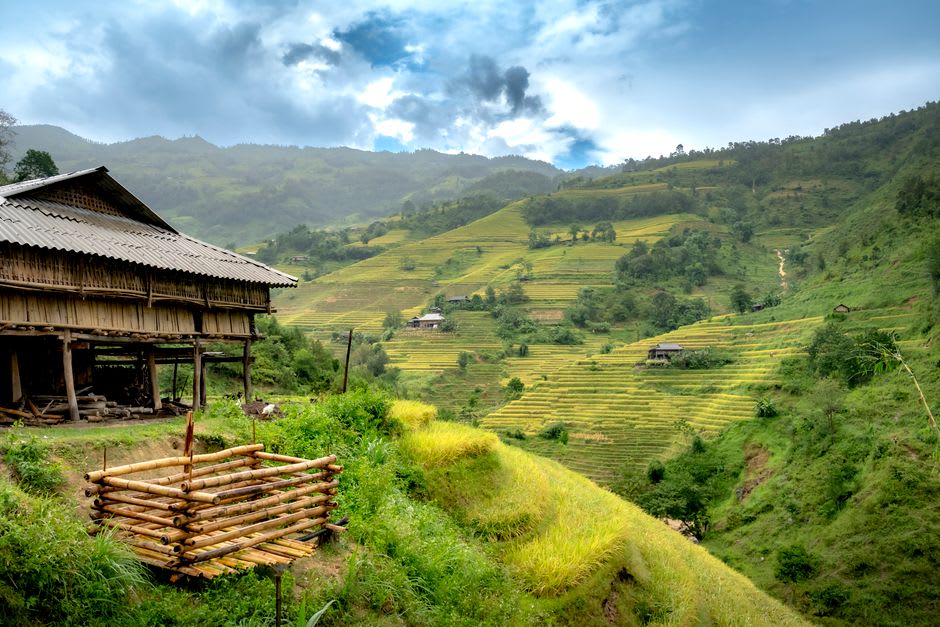
If you have the legs for it, a trail near the village climbs to a viewpoint — Bukit Bulu Barakka or one of the informal lookouts locals will point you toward — where you can see the full sweep of towers laid out below, the river cutting silver through green, and, on a clear day, the Makassar Strait as a pale line in the far distance. It’s a sweaty forty minutes up. It’s worth every step.
When to go: Early morning, ideally before 8am, for the mist and the cooler paddle up the river; the dry season from April to October keeps the trails passable and the river at a manageable, non-flooded level for boat access.