Mount Longonot
"We climbed a volcano before breakfast and I still think about the silence up there."
A dormant volcano crater rim hike above Lake Naivasha, where zebra graze the ash-dark slopes and the caldera falls away into forest.
We started early, before the heat could really settle into the valley, and I remember being surprised by how quickly the acacia scrub gave way to something steeper and more serious. Mount Longonot doesn’t look like much from the main road — a dark, humped shape against the sky — but once you’re on the trail inside the national park, it announces itself fast. The path climbs hard for the first stretch, and Lia kept pausing to look back at Lake Naivasha shrinking behind us, a pale smear of water in all that green and ochre. By the time we reached the crater rim, my shirt was soaked through, but the view swallowed the discomfort whole.
What nobody had told me is that the rim isn’t just a viewpoint — it’s a full loop, close to 7 kilometres, tracing the edge of a caldera that’s still forested inside, a green bowl sunk into the mountain. I kept stopping to stare down into it, half expecting to see something move. The guide told us buffalo sometimes wander the crater floor, and giraffe and zebra work the outer slopes, though we only spotted a distant handful of zebra grazing where the vegetation thinned into open ground.
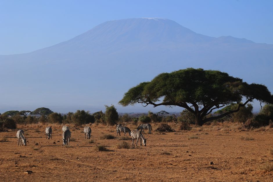
Somewhere past the halfway point, we sat on a rock outcrop just to breathe and take it in, and that’s when the scale of the place actually hit me. This is a volcano that last erupted sometime in the 1860s — not ancient history, geologically speaking — and its Maasai name, Oloonong’ot, means something like mountains of many spurs, which makes total sense once you’re tracing those steep, jagged ridges with your own legs. Standing there, looking out over the wider Rift Valley, I felt small in the best way, the way I only really feel in Kenya.
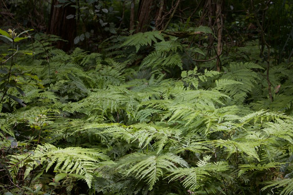
The descent was harder on the knees than the climb was on the lungs, loose volcanic gravel sliding underfoot the whole way down. We finished dusty, thirsty, and grinning at each other like we’d gotten away with something. It’s one of those hikes that doesn’t ask for technical skill, just stamina and decent shoes, and it rewards you completely out of proportion to the effort.
When to go: We hiked in the dry season, and I’d steer you the same way — January to March or June to September gives you clearer views over the valley and a trail that isn’t turned to slick mud underfoot.
Keep exploring
More from Great Rift Valley
 great-rift-valley
 Ngorongoro Crater
A collapsed volcano whose caldera holds an entire ecosystem — lions, elephants, rhinos, and Maasai with their cattle, all in a bowl twelve miles wide.
Explore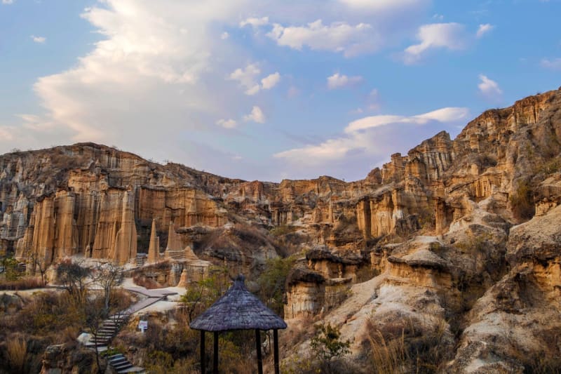 great-rift-valley
 Hell's Gate National Park
A volcanic gorge you cycle through alongside zebra and giraffe, with walls warm to the touch and hot springs at the far end.
Explore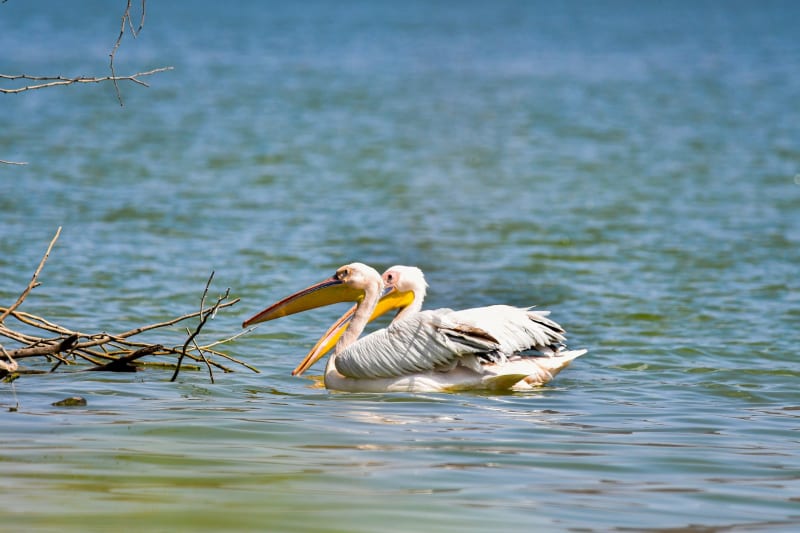 great-rift-valley
 Lake Baringo
A remote freshwater lake in northern Kenya where fish eagles outnumber tourists and crocodiles sun themselves on papyrus islands.
Explore great-rift-valley
 Lake Bogoria
Where geysers shoot boiling water beside a flamingo-choked lake so alkaline that nothing survives in it except the birds' food.
Explore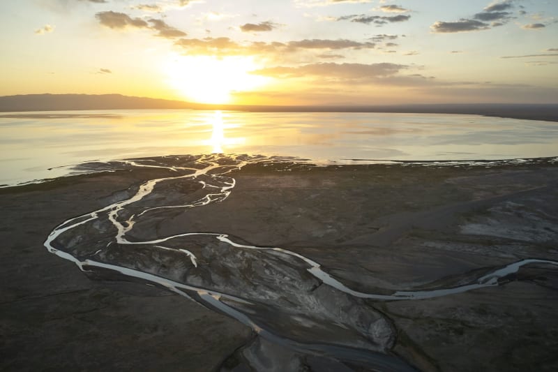 great-rift-valley
 Lake Elementaita
The forgotten lake of the Kenyan Rift — a UNESCO World Heritage site with great white pelicans and almost no one else there.
Explore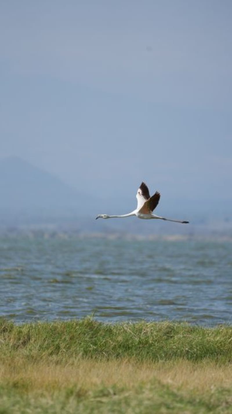 great-rift-valley
 Lake Magadi
A crusted pink lake at the bottom of the Rift, where flamingos wade over sodium carbonate and hot springs bubble at the edges.
Explore