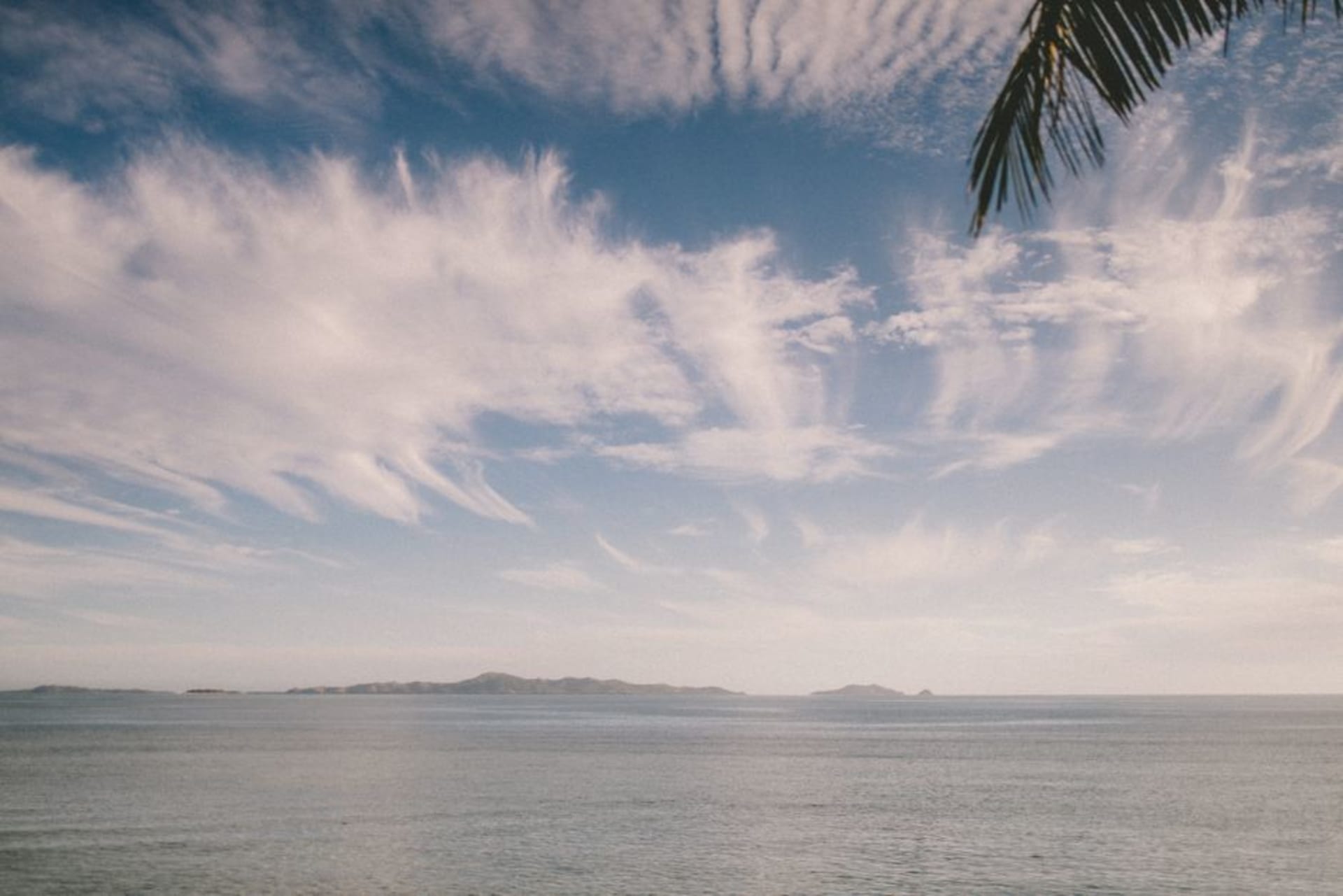
Namalata Isthmus
"I stood in the middle of the runway and could see the ocean on my left and the ocean on my right, maybe four hundred metres apart."
The narrow strip of land near Vunisea where Kadavu almost splits in two, with ocean visible on both sides at once and a grass airstrip running down the middle of it.
Kadavu is shaped, if you look at a map long enough, almost like two islands pinched together at one narrow waist, and that waist is the Namalata Isthmus — a strip of flat land so slim that Vunisea’s grass airstrip, cut straight down its length, has open water visible from the plane window on both sides during landing. I’d flown over it on my way in without quite registering the geography, and it wasn’t until I was standing on the ground there, waiting for a connecting boat, that I understood how strange and specific this piece of the island actually is.
The isthmus functions as Kadavu’s de facto capital district, home to Vunisea’s small collection of government buildings, the main hospital, a market that runs a few mornings a week, and the airstrip that connects the whole island to Nadi and Suva. But it’s also, geologically, a fragile-looking thing — barely above sea level in places, clearly the product of centuries of sediment building up between two older volcanic landmasses, and locals I spoke with were matter-of-fact about the fact that a sufficiently bad storm surge could, in theory, cut the island properly in two for a while.
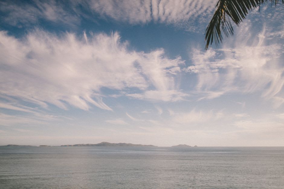
I spent an afternoon walking the isthmus end to end with a local schoolteacher named Mereoni, who pointed out the low sea walls put in after a particularly bad cyclone years back, and a spot near the middle where, at exceptionally high king tides, water has been known to meet across the strip from both directions. She talked about it without alarm, the way you’d discuss a familiar quirk of a house you’d lived in your whole life, but it left me looking at Kadavu’s map differently for the rest of the trip — this whole substantial island held together, structurally, by a piece of land you could jog across in fifteen minutes.
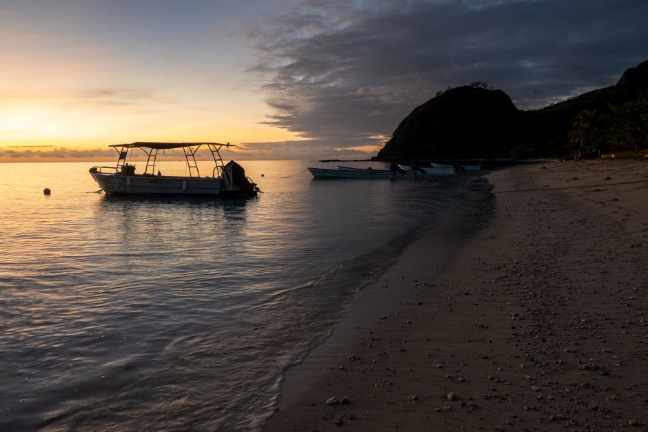
The isthmus is also, unexpectedly, one of the better places on Kadavu for an evening walk, since the flat, open ground gives clear views of the sunset over the water to the west and, if you turn around, the sky doing something completely different over the hills to the east. Mereoni and I ended the walk sitting on the sea wall watching fruit bats stream out of the forest at dusk in numbers that took a full ten minutes to thin out, silhouetted against a sky that had gone the color of a bruised peach.
It’s not a destination in the conventional sense — there’s no single sight to tick off — but understanding the isthmus changed how I read the rest of Kadavu, a reminder that even a substantial, hilly, reef-ringed island can turn out to be held together by something surprisingly narrow.
When to go: Year-round, since most visitors pass through Vunisea regardless of season while connecting to other parts of Kadavu. Late afternoon is the best time for the walk, timed to catch both the sunset and the bat exodus from the forest edge.