Ruta de las Flores
"The Route of Flowers isn't a destination so much as a permission slip to stop the car whenever you feel like it."
The mountain road linking Sonsonate to Ahuachapán through coffee country and flower-draped villages, best experienced by pulling over whenever something catches your eye.
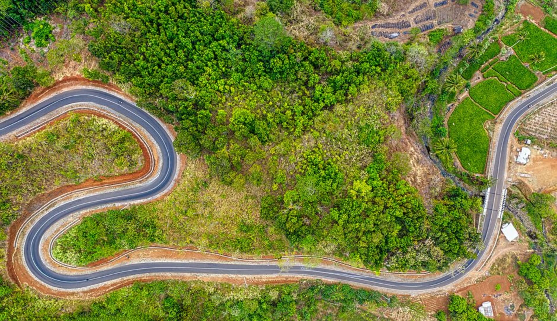
Everyone talks about the Route of Flowers as if it were a checklist of towns — Nahuizalco, Salcoatitán, Juayúa, Apaneca, Ataco — and it’s true that those villages are the anchor points. But after driving the whole stretch twice, once in a rush and once properly, I’ve come to think the real experience is the road itself, the roughly thirty kilometers of two-lane mountain highway that stitches those towns together through coffee plantations, patches of native cloud forest, and roadside stands selling whatever happens to be blooming that month. The route gets its name honestly: between October and February, wild orchids, izotes, and the pink and white blossoms of coffee plants in flower crowd right up against the shoulder, and there were stretches where I drove with the windows down just to smell it.
Driving it slowly, on purpose
The mistake, I think, is treating the Route of Flowers like a highway between attractions rather than an attraction in its own right. On my second pass through, I gave myself no schedule at all — just a full day and a tank of gas — and it turned out to be one of the better travel decisions I made in El Salvador. I stopped for an hour at a roadside comedor outside Salcoatitán because I smelled something being grilled and couldn’t identify it (it was chorizo criollo, and it was excellent). I pulled over twice just to look at coffee pickers working the rows in wide-brimmed hats, their sacks slung over one shoulder, moving through the plants with a rhythm that clearly came from decades of practice, not a single wasted motion. Neither stop was in any guidebook. Both were the best hour of that particular day.

The road as connective tissue
What the route does, structurally, is let you understand how these towns relate to each other, something you lose if you fly between them or treat each as an isolated stop. You feel Nahuizalco’s proximity to Sonsonate and the lower, hotter valley. You feel the road climb noticeably as you approach Apaneca, the air thinning and cooling in a way your ears register before your skin does. You see, mile after mile, the infrastructure of the coffee economy that quietly defines this whole region — drying patios, small wet mills, cooperative signs, trucks stacked absurdly high with sacks of cherries during harvest season. It gives the towns context. Ataco’s murals mean something slightly different once you’ve seen the working farms that fund the town’s Saturday market.

If you only have a day, drive it start to finish and let yourself be late for whatever you’d planned. If you have three, base yourself in one town and use the road as a spine, radiating out to farms, waterfalls, and markets and coming home each night to the same guesthouse. Either way, don’t just pass through it. It’s the best part.
When to go: October through February for peak flowering and coffee harvest, and for the cool, clear mountain air that makes the drive genuinely pleasant rather than just scenic. Weekday mornings for the emptiest roads.