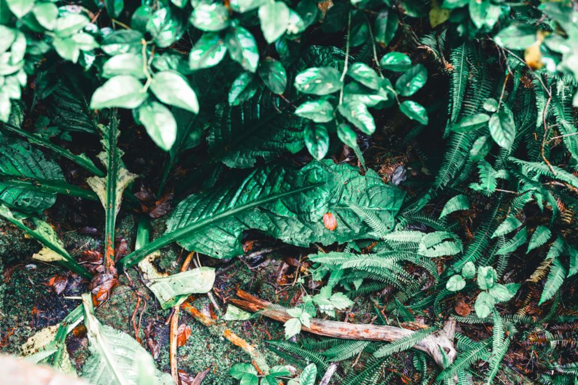
Sage Mountain National Park
"It's the only place in the BVI where I was cold, and I mean that as the highest compliment."
The BVI's only patch of rainforest, crowning Tortola at 1,716 feet, where the air turns cool and the trees are older than the colony itself.
I drove up to Sage Mountain expecting a slightly bigger hill with a nice view, and instead found myself in actual rainforest, the kind with a closed canopy and its own weather. Tortola tops out here at 1,716 feet, which sounds unremarkable until you remember that everything else in the BVI is beach-level scrub and sea grape, and this one summit somehow holds onto a pocket of the kind of forest that used to cover the whole island before plantations cleared it three centuries ago. The road up from the north side is narrow and switchbacks hard enough that I stalled the jeep twice, and by the time I parked at the ranger station the temperature had dropped a good five degrees. I hadn’t packed for cold anywhere in the Caribbean. I loved that I needed to.
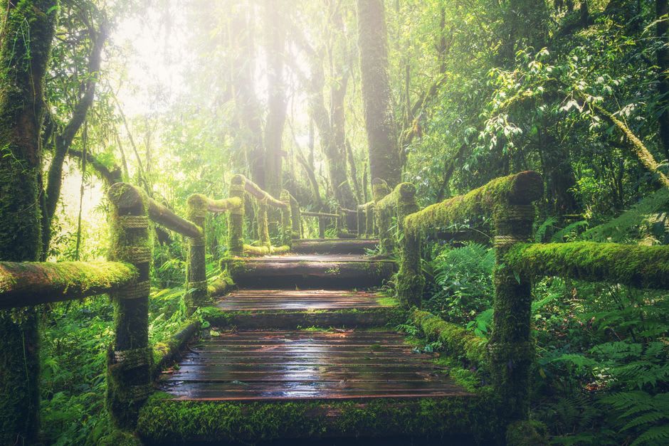
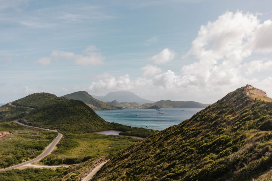
The trails loop through stands of mahogany, white cedar, and enormous elephant ear philodendrons that climb the trunks like something out of a different continent entirely. There’s a spot near the summit, a small clearing the rangers have cut back just enough, where you can see clean across to Jost Van Dyke and the USVI on a good day, the whole archipelago laid out below you in a way that flattens it into something almost like a map. I sat there for twenty minutes without seeing another person, which does not happen anywhere else on Tortola in high season. A local guide I met at the trailhead told me his grandfather used to graze goats up here and that “sage” in the name refers to the wild sage bush, not wisdom, though I prefer to believe both.
What struck me most was the quiet. Not the ocean-quiet of an empty beach, which still has waves and wind in it, but a real forest hush, broken only by the occasional thrasher calling from somewhere in the canopy. It felt less like a tourist stop and more like the island remembering what it used to be before anyone farmed it or sailed to it.
When to go: Mornings, before the afternoon clouds settle on the peak and cut visibility. The trails can get muddy after rain, so proper shoes matter more here than anywhere else in the territory.
Keep exploring
More from British Virgin Islands
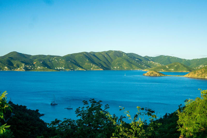 british-virgin-islands
 Salt Island
A near-deserted island above one of the Caribbean's great wreck dives, where the silence on land is only interrupted by the past below.
Explore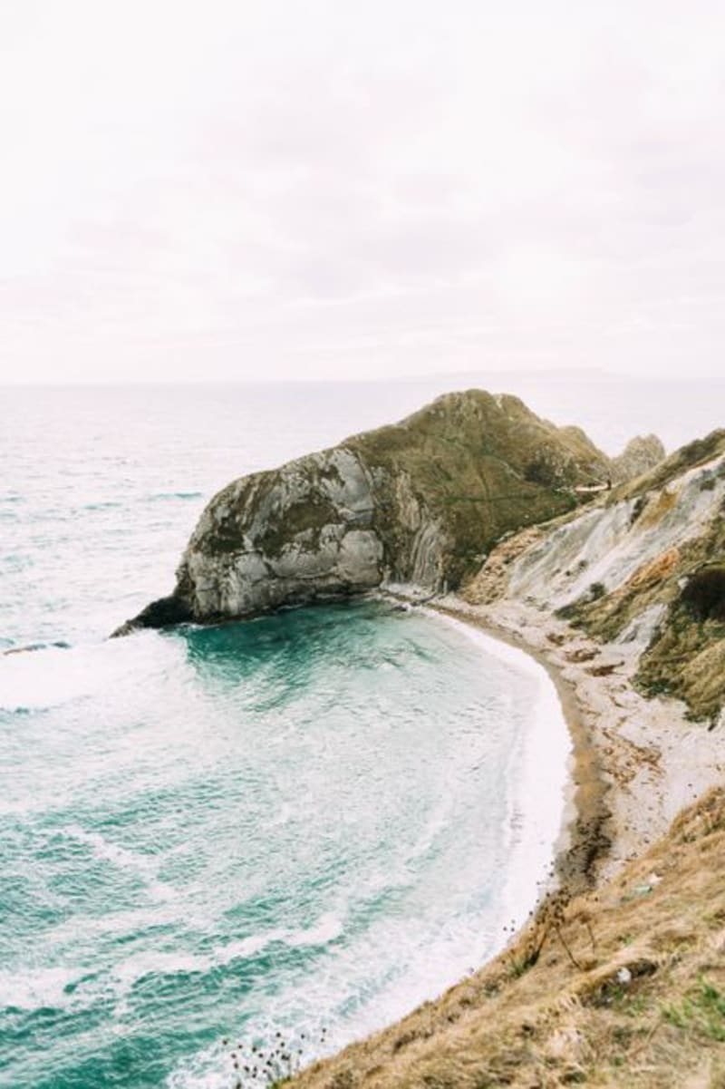 british-virgin-islands
 Smuggler's Cove
Tortola's westernmost beach, a shallow curve of pale sand at the end of a bone-rattling dirt road, named for a history it's happy to let you imagine.
Explore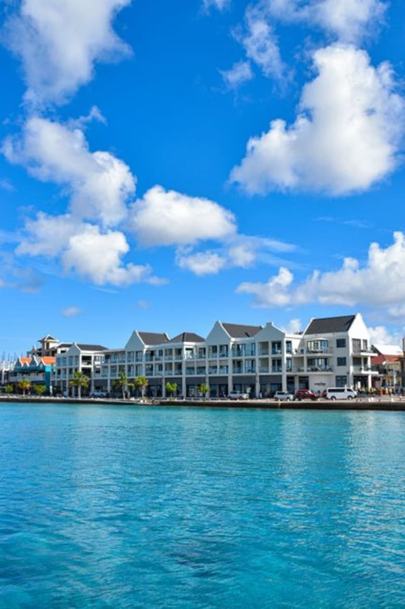 british-virgin-islands
 Soper's Hole
Tortola's West End harbor, a toy-box row of gingerbread-trimmed buildings in candy colors where the ferries from the USVI dock and the charter boats top up before heading out.
Explore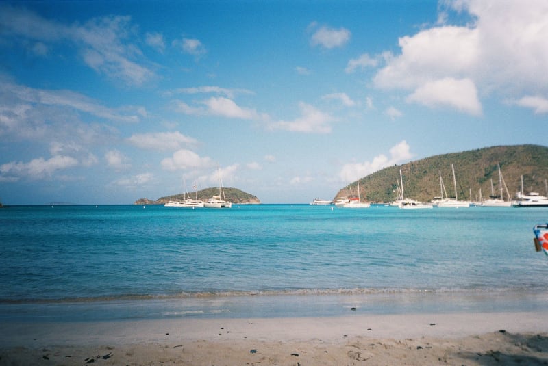 british-virgin-islands
 The Baths, Virgin Gorda
Granite boulders the size of houses stacked into sea grottos — magnificent before nine in the morning, a zoo after ten.
Explore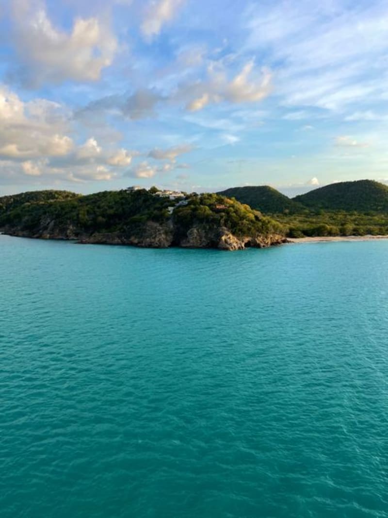 british-virgin-islands
 The Dogs
A scatter of uninhabited islets between Tortola and Virgin Gorda whose surrounding reefs are some of the best diving in the territory, named for a sound nobody agrees on anymore.
Explore british-virgin-islands
 Trellis Bay
A sheltered anchorage on Beef Island where an artist's fire sculptures burn over the water on full moon nights and steel pans drift out over the anchored boats.
Explore