Point Reyes
"The wind here doesn't gust so much as lean — a constant weight pushing you toward the edge of the continent."
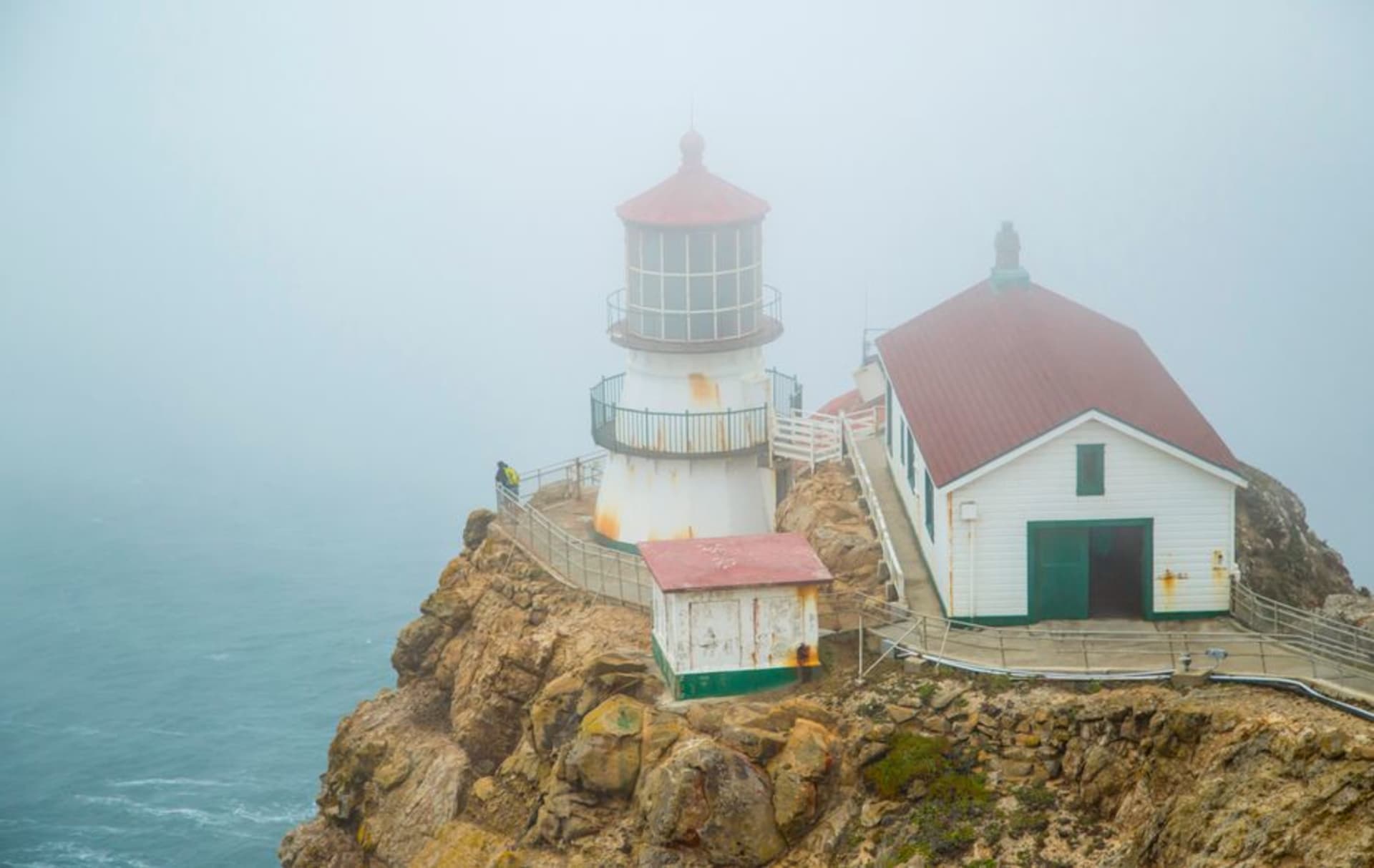
We came to Point Reyes chasing the lighthouse, and the peninsula spent the whole drive out trying to hide it in fog. The road from Bear Valley runs for forty-five minutes through dairy pastures and eucalyptus and then out onto open headland where the trees give up and only wind-flattened grass survives. Lia had the map on her knees and kept saying we were nearly there, but “there” kept dissolving into grey. Then we parked, walked to the cliff edge, and the fog thinned just enough to show the ocean far below, heaving and white-flecked, and the long staircase dropping toward the light. The wind hit us full in the chest. Lia laughed and grabbed the rail. We had arrived, and the peninsula had decided, grudgingly, to let us see it.
Down to the Lighthouse
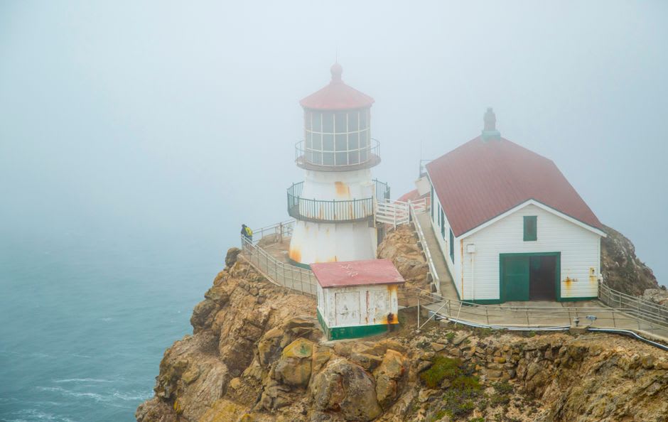
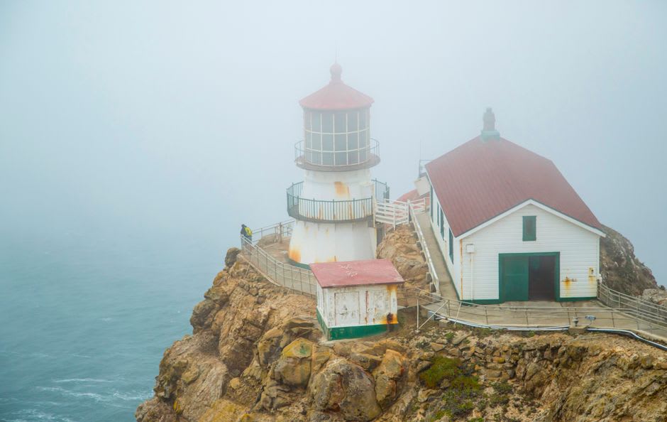
The Point Reyes Lighthouse sits at the bottom of more than three hundred steps, bolted to a cliff on the foggiest, windiest point on the Pacific coast — which is precisely why they built it there in 1870. We descended slowly, the wind pushing back at every step, gulls hanging motionless in the updraft beside us as if pinned to the air. The little lighthouse, when we reached it, was smaller than I expected and somehow braver for it: a squat iron tower crouched against a hundred and fifty years of gales. Inside, the great Fresnel lens still throws its rings of glass, and the keeper on duty told us that ships used to founder here in weather so thick the light was useless anyway. Climbing back up, calves burning, we understood the isolation those keepers must have felt, marooned at the end of everything.
The Elk and the Empty Beaches
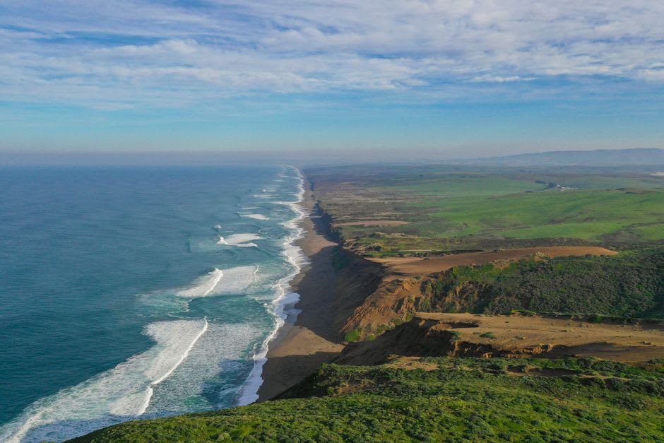
The next morning we drove out to Tomales Point, at the peninsula’s northern tip, to walk among the tule elk. The trail runs along a high ridge with the Pacific on one side and Tomales Bay on the other, and the elk are simply there — great herds of them grazing the coyote brush, the bulls carrying racks of antler like small trees, unbothered by us so long as we kept our distance. Later we dropped down to Drakes Beach, a long pale crescent below chalk-white cliffs that Sir Francis Drake may have careened his ship against in 1579. It was nearly empty. We walked a mile without seeing another soul, just the tracks of shorebirds and the wrack line and the cliffs glowing faintly in the muffled light. Lia found a sand dollar, intact, and pocketed it like treasure.
Oysters and the Edge of the Fault
Point Reyes rides on the Pacific plate, sliding north past the rest of California along the San Andreas Fault, and near Bear Valley you can walk the Earthquake Trail to a fence torn sixteen feet apart in the great quake of 1906 — a strange, quiet monument to the ground’s impatience. But our favorite discovery was gentler: the oysters of Tomales Bay. We stopped at a roadside shack on the way home, bought a dozen just pulled from the water, and shucked them ourselves at a picnic table with lemon and hot sauce and a bottle of cold white wine. The bay was flat and silver, herons stalking the shallows, and the briny cold of each oyster tasted like the whole peninsula distilled. We stayed until the light went.
Getting There
Point Reyes National Seashore lies about an hour to ninety minutes north of San Francisco, reached via Highway 1 or the winding Sir Francis Drake Boulevard through the town of Olema. Start at the Bear Valley Visitor Center for maps and trail conditions, then allow plenty of time — the drive out to the lighthouse alone takes forty-five minutes each way, and the road can be shrouded in fog. Come dressed for wind and cold whatever the season, since the headlands make their own weather. On winter weekends a shuttle serves the lighthouse for whale-watching; the rest of the year you can drive right to the trailhead.