
Mount St Helens
"The mountain is missing its top, and the gap where the summit used to be is the most honest thing I've ever seen a landscape admit."
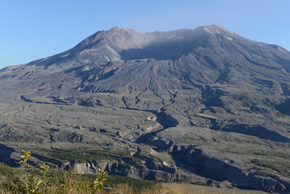
I had known the story since childhood — the morning in May 1980 when a Washington volcano tore itself apart — but knowing it and standing at the Johnston Ridge Observatory looking straight down the barrel of the crater are two very different things. The road climbs for an hour up the Toutle River valley, and at first the forest is ordinary, green and dense. Then, gradually, it changes: the trees thin, then vanish, then reappear as grey skeletons all lying flat, all pointing the same way, felled in a single instant by a blast that flattened everything for miles. Lia stopped talking. At the ridge we walked out to the viewpoint, and there it was — the mountain with its whole north face and summit simply gone, a crater like a bitten apple, steam still rising faintly from the dome inside. Neither of us had words. The scale of it does that.
The Blast Zone
What holds you at Mount St Helens is not just the crater but everything around it — the blast zone, where the eruption’s lateral surge of superheated gas and rock erased a forest in seconds. From Johnston Ridge, named for the young volcanologist who died there radioing his last observation, you look across a landscape that still, forty years on, wears its wound openly: pumice-grey slopes, the ghostly trunks of the old forest bleached and toppled, the Toutle valley choked with the debris of the collapse. A ranger walked us through it with a map, showing where the observatory itself sat directly in the line of the blast. Standing there, doing the arithmetic of speed and heat and distance, I felt a low animal awareness of just how thin the crust is between us and what moves beneath it.
Life Coming Back
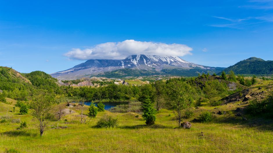
And yet the story here is not only destruction. Walk the trails out from the ridge in summer and you find the counter-story written in wildflowers. Lupine came back first, we learned, its roots fixing nitrogen into the sterile ash, and behind it came the paintbrush and pearly everlasting and fireweed, and behind them the insects and the elk. We hiked a stretch of the Boundary Trail and found the grey slopes stitched through with purple and gold, a herd of elk grazing improbably in the middle distance, a pika squeaking from a jumble of blast rock. Lia knelt to photograph a single lupine growing from a crack in the pumice and said, quietly, that it was braver than it had any right to be. The mountain destroyed a world here and is patiently, indifferently, growing another.
Below the Mountain: The Ape Cave
On our second day we went underground. On the volcano’s southern flank lies the Ape Cave, one of the longest lava tubes in North America — a tunnel drained by an ancient flow, its ceiling still ribbed with the drip-marks of molten rock. We rented lanterns, pulled on jackets against the constant cold, and descended into total blackness, our footsteps echoing off walls that had once run liquid. The lower tube is easy and eerie; the upper tube made us clamber over rockfalls and squeeze through a boulder jam by lantern light, Lia ahead of me laughing nervously every time the passage narrowed. Emerging back into the daylight and the smell of fir felt like being born. It was the perfect counterweight to the ridge: down here, quiet and enclosed, we walked through the mountain’s older, gentler handiwork.
Getting There
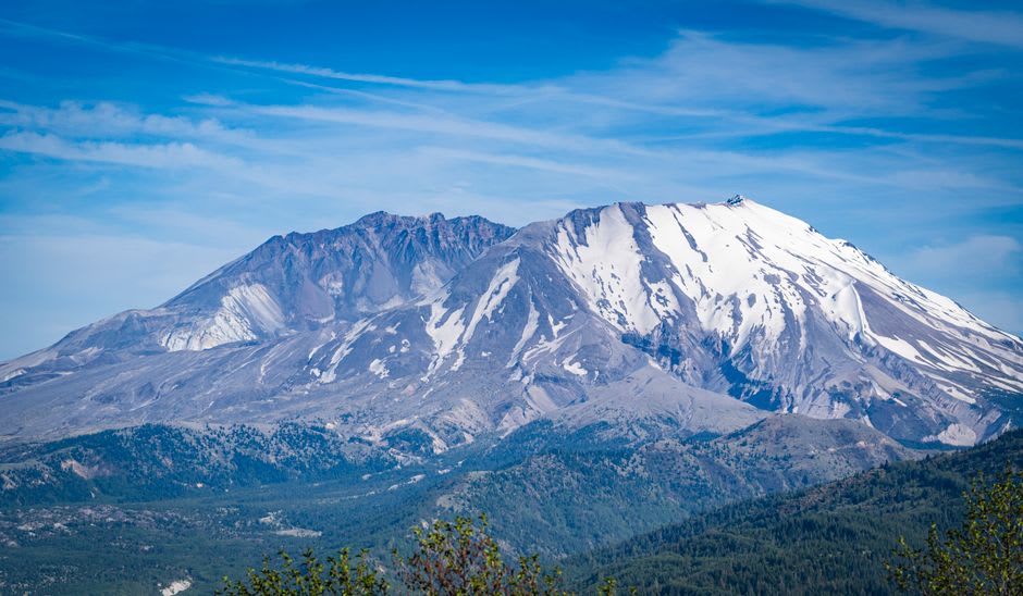
Mount St Helens National Volcanic Monument lies in southwest Washington, roughly a two-hour drive north of Portland or three hours south of Seattle. The most dramatic access is the western approach up Highway 504 to the Johnston Ridge Observatory, which faces straight into the crater — check ahead, as the road and observatory open only in the warmer months and are subject to closures. The southern side, with the Ape Cave lava tube and quieter trails, is reached separately via Cougar and is often open longer in the season. Bring layers for the wind on the ridge and warm clothing plus a light source for the cave, which stays cold year-round.