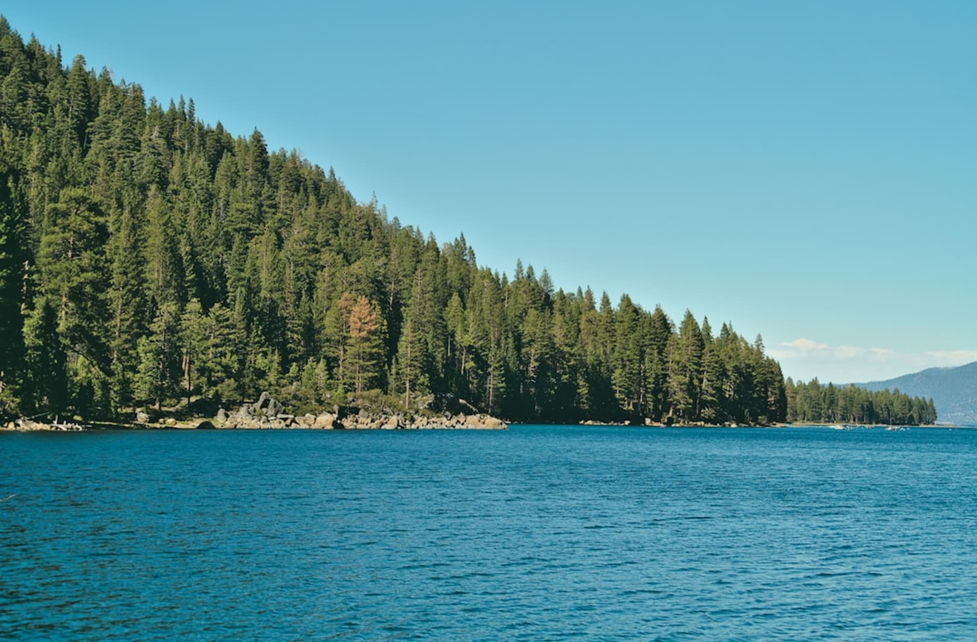
The first time you see Lake Tahoe, you don’t quite believe the color. Lia and I came over the pass from the west on a June afternoon, the road climbing through granite and lodgepole pine, and then the trees opened and there it was — a sheet of blue so saturated it looked painted, filling an entire mountain basin. I pulled over. I had to. A photograph, I already knew, was going to lie about this.
The Shockingly Clear Water
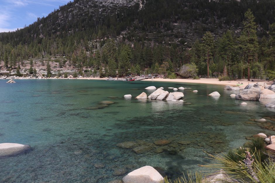
Tahoe is the second-deepest lake in the United States, and its clarity is the stuff of legend — on a calm day you can see a dinner plate sixty or seventy feet down. We drove around to Sand Harbor on the Nevada side, where great rounded granite boulders sit in the shallows and the water between them shifts from pale jade to a deep, cold sapphire. Lia waded in to her knees and yelped; it was snowmelt, and it felt like it.
We spent the whole morning there, doing very little. I floated over a boulder and looked straight down through water so transparent it created a kind of vertigo, as though I were suspended in air above the stones. Kayakers slid past like they were levitating. It is the clearest natural water either of us had ever seen, and it rearranged something in my head about what a lake could be.
Emerald Bay and the Little Castle
On the southwest corner, the road curls high above Emerald Bay, and there is a pullout where half of California seems to gather to look down. And rightly so. The bay is a nearly enclosed cove of green-blue water with a single tiny island in its center — Fannette Island — crowned by the stone ruin of a teahouse. Far below, at the water’s edge, sits Vikingsholm, a 1929 mansion built to look like a Scandinavian castle, all timber and turf roofs.
We hiked the steep mile down to the shore of the bay. It punishes the knees on the way back up, but standing at the bottom, with the water lapping and the little island floating out in the middle, we had one of those long silences that means a thing is working on you. A kayaker paddled out toward the island, small as a water strider.
The Two Faces of the Lake
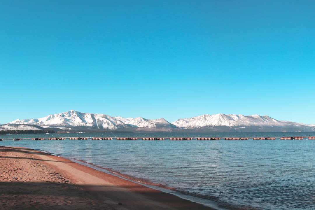
Tahoe is genuinely two places, and part of the pleasure is feeling the seam. On the California side, South Lake Tahoe is all pine forest and low-key beach towns; you cross a street and, abruptly, you’re in Stateline, Nevada, where the casinos rise up out of the trees like a mistake. We had dinner one night at a casino buffet purely for the strangeness of it, then walked back across the state line to our little cabin among the pines, the neon fading behind us.
Later that week we rode the gondola up from Heavenly, and from the top the whole lake lay spread out below, blue against the darker blue of distance, the Sierra crest still holding snow in July. The air up there was thin and sharp with pine resin. Lia said it looked like the whole basin had been filled with sky, and that is about right.
Getting There
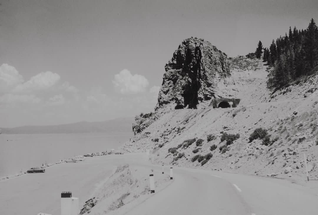
Lake Tahoe is about a two-hour drive from Reno-Tahoe International Airport, the closest and easiest gateway, or roughly three-and-a-half to four hours from Sacramento or the San Francisco Bay Area if you’re making a road trip of it. The drive up from the west on Highway 50 or Interstate 80 is beautiful but can be slow in winter, when chains are often required over the passes — check conditions before you set out. Once at the lake, a car is genuinely useful, since the 72-mile shore road connecting the towns and beaches has only limited transit. Summer brings warm days and cold water; winter turns the surrounding resorts — Heavenly, Palisades, Northstar — into a serious ski destination. We came in June and found the sweet spot: open passes, empty trails, and no crowds.