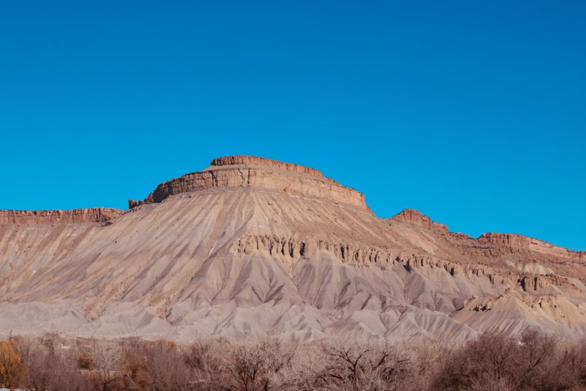
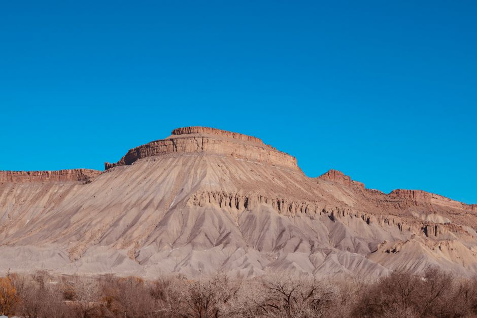
Guadalupe Mountains
"You are standing in a desert, and the mountain above you is a coral reef. It takes a while for that sentence to make sense."
The wind nearly took the car door off my hand the morning we arrived, and I took it as fair warning. The Guadalupe Mountains are the highest thing in Texas, and they announce themselves from fifty miles off — the great limestone prow of El Capitan sailing out of the flat Chihuahuan Desert like the bow of a ship run aground. We had the place almost to ourselves, which is the norm here; this is one of the least-visited national parks in the country, too far from anywhere, too austere for casual travelers. Lia read the trailhead sign aloud — that these peaks are the exposed spine of an ancient reef, that we would be climbing through the fossilized bodies of creatures dead 260 million years — and we both looked up at the dry stone and tried to picture the tropical sea.
Climbing to the Roof of Texas
Guadalupe Peak is the obligatory pilgrimage: 8,751 feet, the highest point in the state, and a hard, honest hike of switchbacks that gain the ridge and never really let up. The wind on the exposed sections is legendary and occasionally alarming, but the reward is total — from the summit’s little steel pyramid the desert spreads out in every direction, El Capitan’s cliff dropping away beneath your boots, and on a clear day you can see impossibly far into New Mexico and Texas both. It took us most of a day. Near the top a raven hung motionless in the gale beside the trail, wingtips trembling, holding station in the same wind that was trying to peel us off the mountain.
McKittrick Canyon and the Autumn Secret
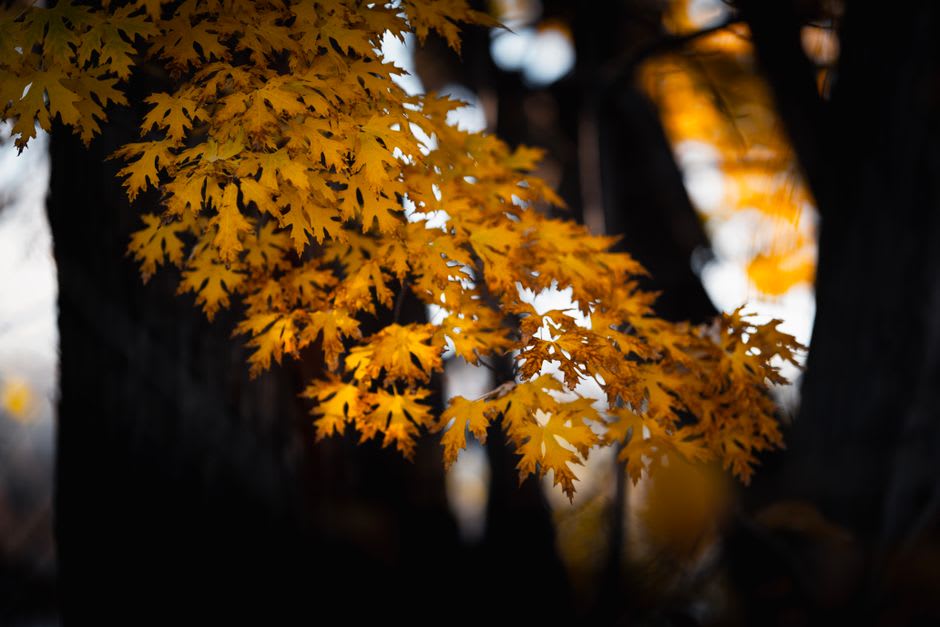
If Guadalupe Peak is the park’s muscle, McKittrick Canyon is its soul. A spring-fed stream runs through this hidden cleft in the reef, and along it grows a ribbon of maples, oaks, and walnut trees — a scrap of unlikely woodland threaded through the desert. In late October and early November those maples turn scarlet and gold, and word gets out; it is the one time the park draws a crowd, Texans driving hours to see fall color where no one expects it. We walked in to the Pratt Cabin, a stone lodge built by a geologist who loved this canyon, and sat by the clear water listening to it run over the rock while the leaves came down. After the naked wind of the peaks it felt like being let in on a secret.
The Dunes and the Desert Floor
Down on the flats the park keeps surprising you. West of the mountains lie glaring white gypsum dunes, a small sea of them, blinding at midday and rose-colored at dusk. The desert lowlands are stitched with agave, sotol, and prickly pear, and at El Capitan’s foot the ruins of a Butterfield stagecoach station recall when this pass was a lonely, dangerous link across the continent. We spent our last evening at the Salt Basin overlook watching the light drain off the west face of the reef, the whole range going from bone-white to amber to a deep smoldering red, and the wind — of course — never once let up.
Getting There
The Guadalupe Mountains sit in far West Texas on US-62/180, about two hours east of El Paso, which has the nearest airport, and only a short drive south of Carlsbad Caverns in New Mexico — the two parks are the same reef and pair perfectly. There is no lodging and little food inside the park, so stock up in El Paso, Carlsbad, or Van Horn and bring more water than you think you need. Autumn is the prime season for both McKittrick’s color and cooler hiking; summer is punishingly hot and exposed. Whatever you do, respect the wind, which is a genuine force of nature here.