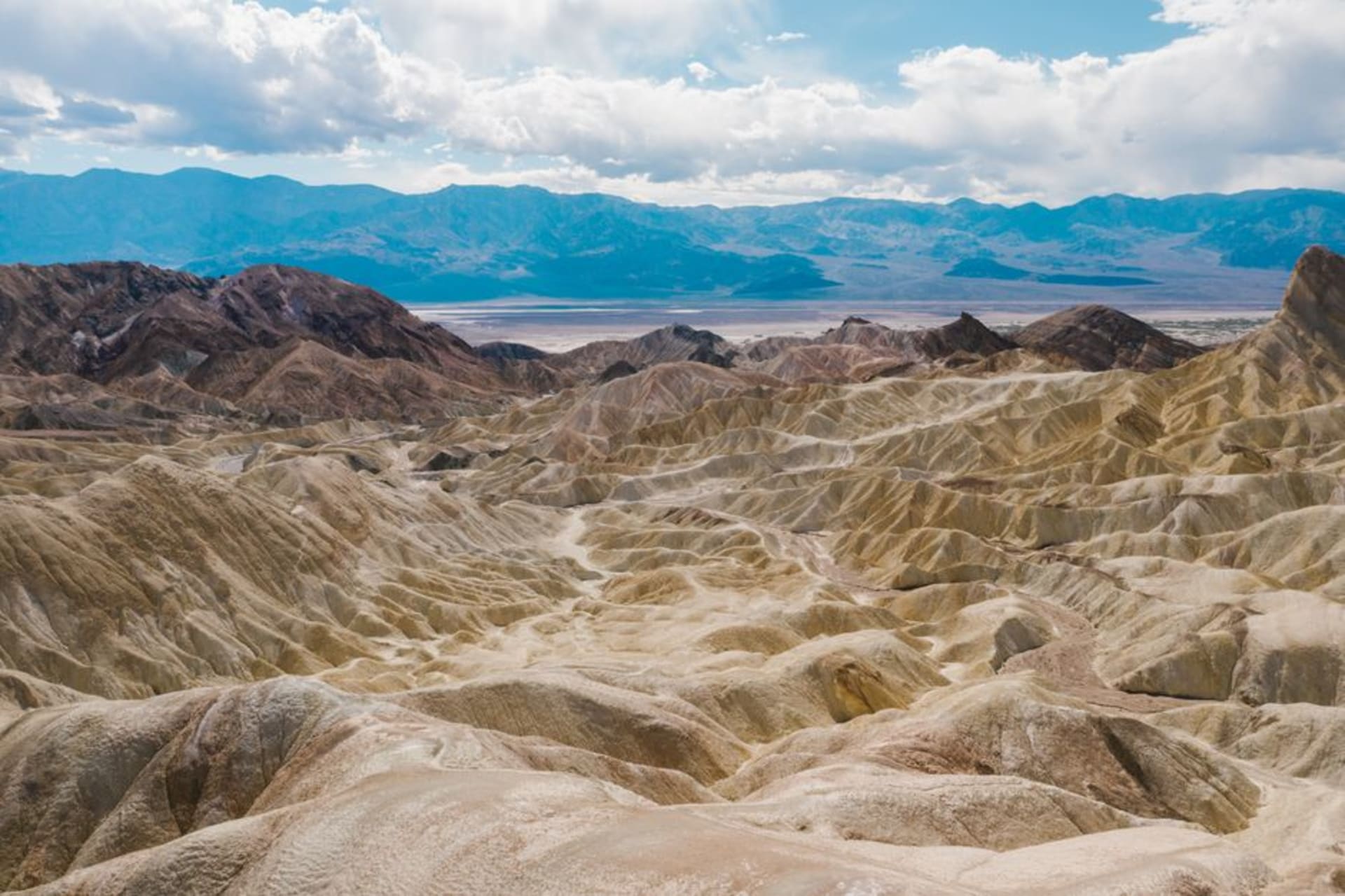
The car thermometer read 47 degrees when we stepped out at Badwater Basin, and I will admit I have never felt heat like it — a dry, roaring heat that hits you like an open oven and takes the moisture from your eyes. And yet. Standing on that endless white crust of salt, the lowest point on the continent, with the mountains shimmering and the silence so total it had a texture, I felt something close to reverence. Lia, sensibly, had made us bring four litres of water and a hat each. She stood beside me squinting at the white glare and said, “It’s terrible. I love it.” That’s Death Valley exactly.
The salt flats of Badwater
Badwater Basin sits 86 metres below sea level, and the salt has dried into a vast honeycomb of white polygons that crunch underfoot as you walk out from the boardwalk. High on the cliff behind the parking area there’s a small sign marking sea level, absurdly far above your head, which does more to convey the depth than any number could. We walked out until the crowds thinned to nothing and it was just the two of us on this blinding white plain, the heat pressing down, not a sound, not a bird, not a plant. It should feel dead. Instead it felt like standing on the clean bones of the earth. We didn’t stay long — you can’t — but I think about it constantly.
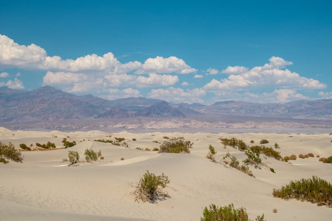
Dawn on the Mesquite dunes
We learned fast that Death Valley is a place you see at the edges of the day. We got up before light and drove to the Mesquite Flat Sand Dunes, walking out onto the cool sand as the sun came over the Amargosa Range and lit the ridgelines one by one. The dunes were carved into perfect wind-rippled crests, unmarked except for the delicate stitching of beetle tracks and, once, the S-curve where a sidewinder had crossed in the night. Lia ran up the tallest one and rolled back down like a child; I photographed the whole undignified thing. By eight the heat was already building, so we retreated, sandy and happy, before the day turned murderous.
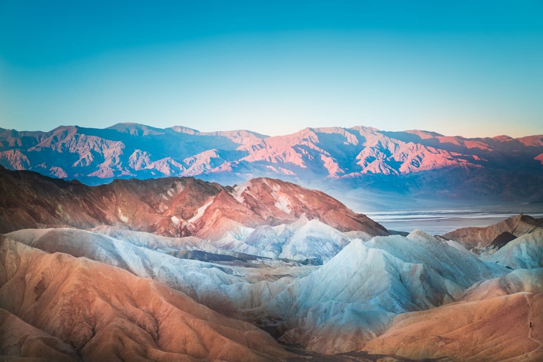
The painted hills of Artist’s Palette
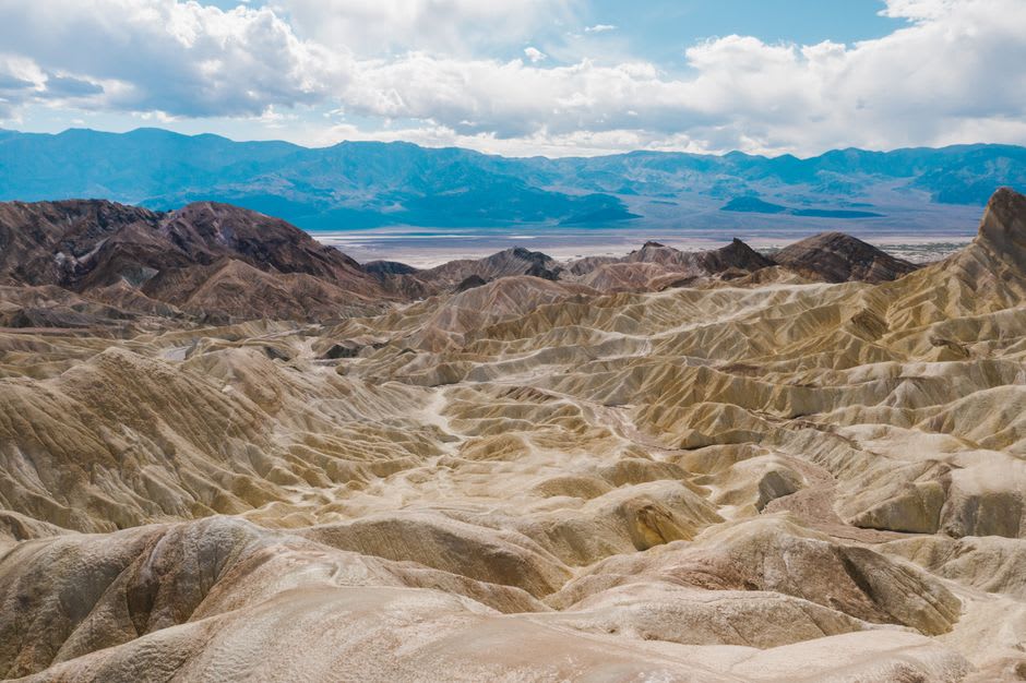
Late one afternoon we drove the one-way loop through Artist’s Palette, where volcanic minerals have stained the hillsides in soft greens, pinks, purples and gold — colours you don’t believe are natural until you’re standing among them. The light was going amber and it made the whole rumpled slope glow like something spilled from a paintbox. We pulled over and just watched the colours shift as the sun dropped. Earlier we’d stood at Zabriskie Point above a maze of golden badlands eroded into ripples and spines, and at Dante’s View, five thousand feet up, we’d looked straight down onto the salt flats we’d walked that morning, tiny and white and far below. From up there the whole terrible valley made a strange, cool sense.
Getting There
Death Valley lies in eastern California near the Nevada line, and the usual approach is by car from Las Vegas, about two hours east — that’s the nearest major airport by far. Rent a car with good air conditioning, start the tank full, and carry far more water than you think you need; services inside the park are sparse and distances are huge. Furnace Creek is the central hub, with a visitor centre, fuel and lodging. Go from November to March when temperatures are merely warm; summer is genuinely dangerous, with highs that regularly top 50 degrees. See the salt flats and dunes at dawn or dusk, rest through the punishing midday, and never, ever hike in the afternoon heat.