The municipality behind Nicaragua's fast-growing Emerald Coast, a sprawl of surf beaches and creeping resort development that stretches from Popoyo down the Pacific shoreline.
I didn’t understand what Tola actually was until I’d already spent a week inside it. Popoyo, Playa Gigante, Playa Guasacate — I’d been to all of them, treating each as its own destination, before a surf instructor mentioned offhand that they were all technically the same municipality. Tola is the administrative name behind what real estate brochures have started calling the Emerald Coast, a long stretch of Pacific shoreline south of Rivas that has quietly become the most actively developing patch of coastline in the entire country.
A patchwork, not a postcard
Tola itself, the inland municipal seat, is an unremarkable farming town — cattle, plantains, the same agricultural rhythm as most of this part of Rivas department. Nobody comes here for the town. What they come for is the string of beaches along its municipal coastline, each with its own character: Popoyo’s serious reef break, Playa Gigante’s fishing-village charm turned surf camp cluster, Guasacate’s growing line of boutique hotels. Driving the coastal road that connects them, I kept noticing the same thing over and over — a modest surf camp or a family-run comedor standing directly next to a fresh construction site with a glossy sign advertising ocean-view villas.
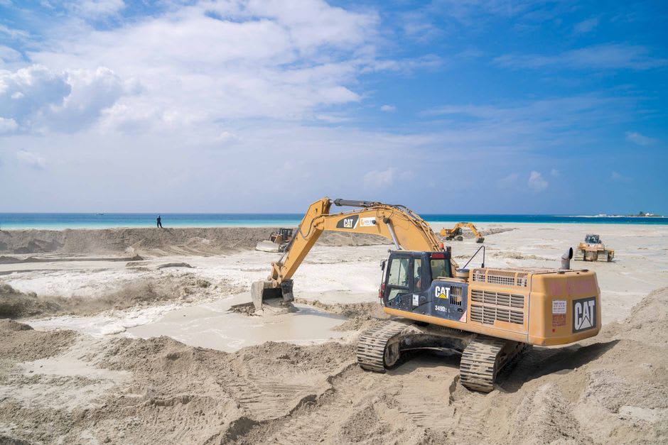
That contrast is really the whole story of Tola right now. A decade ago this stretch of coast was fishing villages and surf camps that existed mostly by word of mouth. Foreign investment has arrived hard and fast since, drawn by cheap coastal land and a wave quality that rivals anywhere in Central America, and the municipality now has an active airstrip serving private charters, a scattering of high-end resorts, and land prices that locals I spoke to described with a mix of relief and unease — relief at the money coming in, unease about who will actually be able to afford to live there in another ten years.
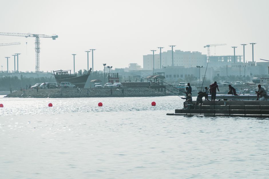
Watching a coastline change in real time
What makes Tola worth understanding, rather than just passing through beach by beach, is that it’s the clearest place in Nicaragua to watch a coastline mid-transformation. It hasn’t tipped over into a resort zone the way parts of Costa Rica’s Guanacaste have, but the trajectory is obvious to anyone who’s spent time on both. If you want to see this stretch of Pacific coast while it still has fishing boats parked next to surf camps rather than infinity pools, the window is open, but everyone I talked to agreed it’s closing.
When to go: Best surf conditions run March through November. Visit sooner rather than later if an undeveloped coastline matters to you — the pace of construction along this shoreline is genuinely fast year over year.
Keep exploring
More from Nicaragua
 nicaragua
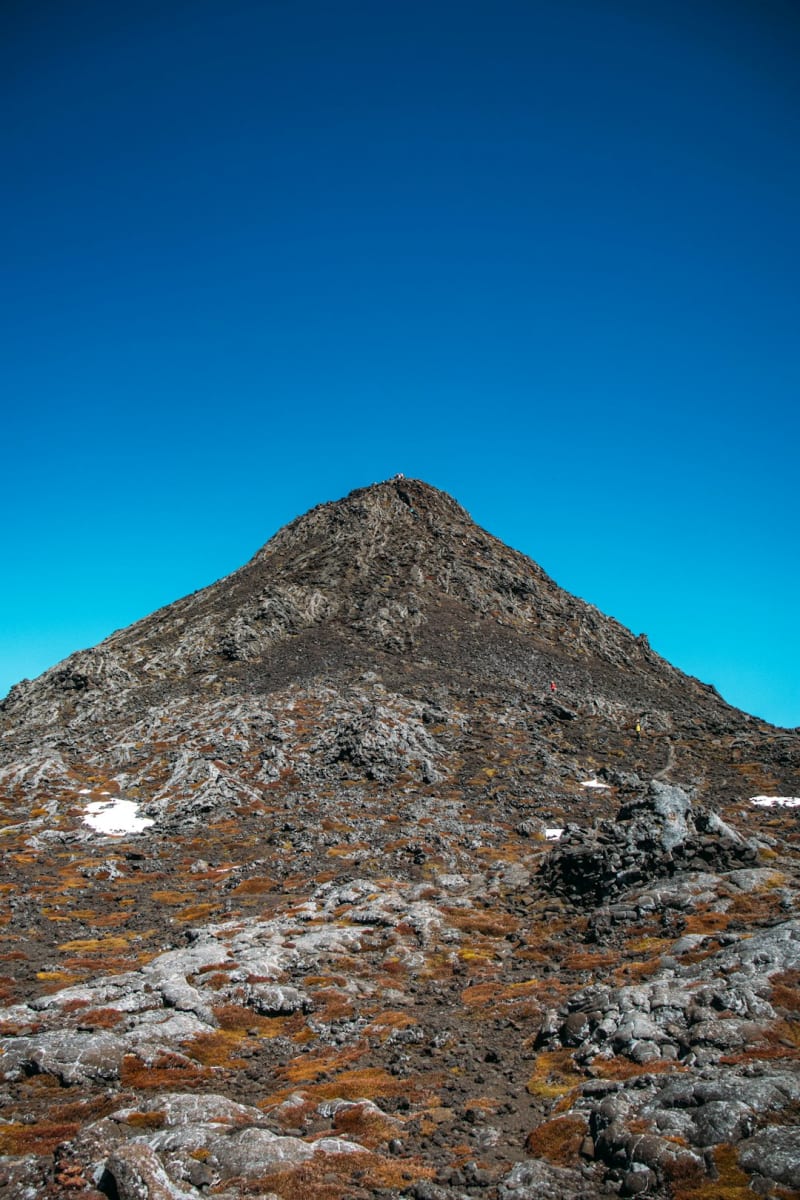
 Volcán Concepción
The younger, sharper half of Ometepe island, a still-active cone that punishes climbers on the way up and rewards them with a view of an entire lake on the way down.
Explore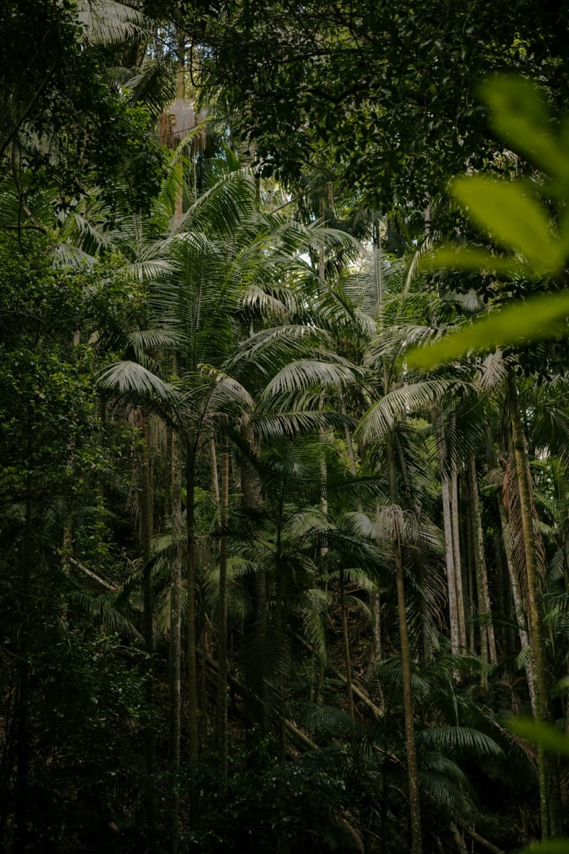 nicaragua
 Volcán Maderas
Ometepe's quieter, dormant twin — a rainforest-swallowed cone hiding a crater lagoon at its summit, waterfalls on its flanks, and howler monkeys that announce you long before you see them.
Explore nicaragua
 Volcán Mombacho
A cloud-forest volcano looming over Granada, its slopes striped with coffee plantations and threaded with canopy trails where orchids outnumber people.
Explore nicaragua
 Wiwilí
A frontier town split by the Coco River on the Honduran border, where smallholder cacao and coffee farms give way, just north, to the start of the rainforest.
Explore nicaragua
 Apoyeque
A near-perfect volcanic crater lake on the Chiltepe Peninsula that almost nobody visits, reachable only on foot, with two of Nicaragua's great lakes visible from its rim.
Explore nicaragua
 Corn Islands
Big Corn Island's Caribbean culture and lobster dinners reward the effort of getting to Nicaragua's forgotten coast.
Explore