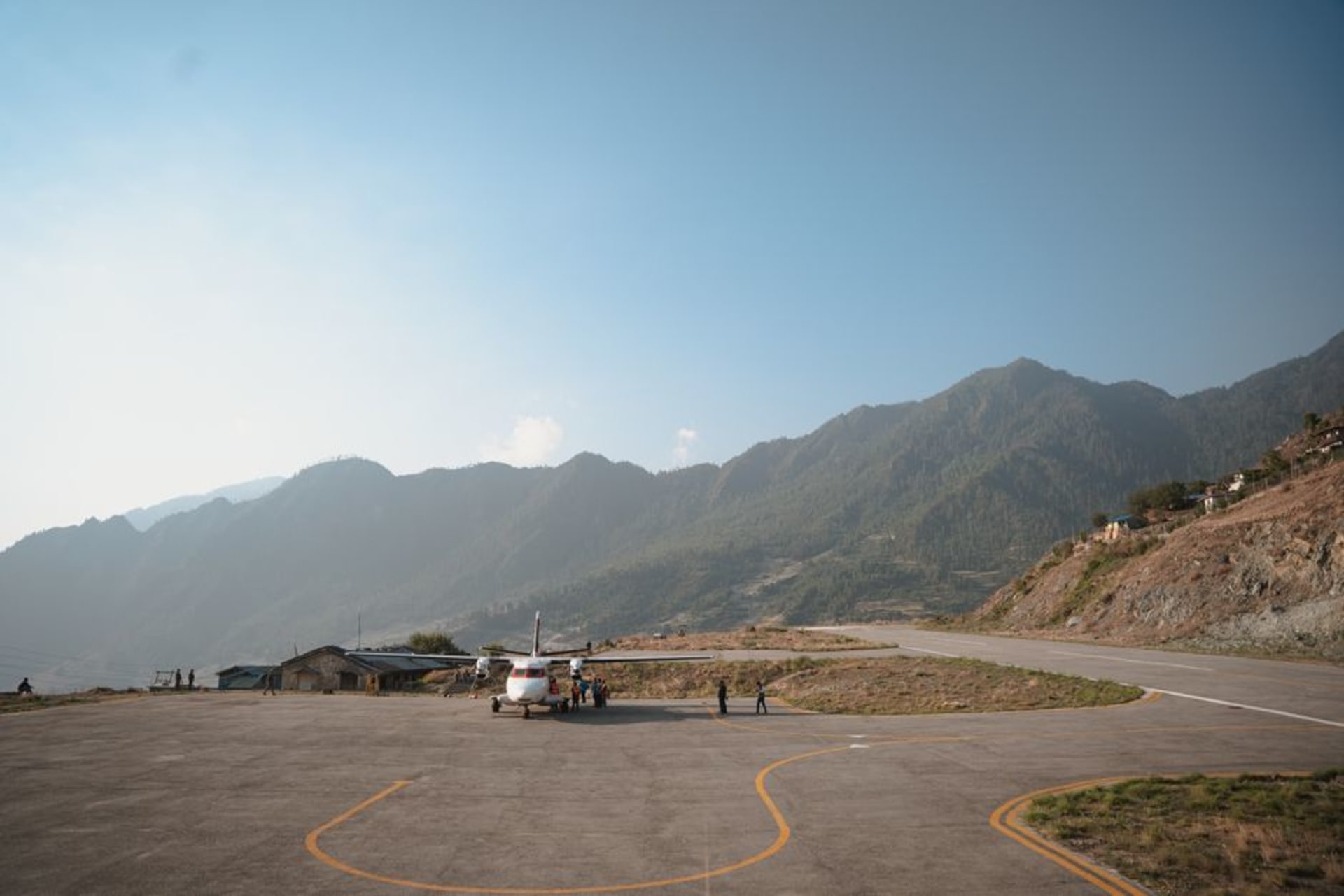
Darchula
"Darchula is where Nepal runs out of room and India and Tibet quietly begin, all within sight of the same ridge."
Nepal's northwesternmost district, a Himalayan border corridor along the Mahakali River beneath the Api and Nampa peaks, as far from Kathmandu as the country gets.
By the time we reached Darchula, we had been on the road for the better part of two weeks, working our way steadily further from Kathmandu than either of us had ever gone in the country. It felt, arriving, less like reaching a destination and more like reaching an edge — the Mahakali River marking the border with India close enough to see the lights of the Indian town of Dharchula across it after dark.
The River That Splits Two Countries
The town sits in a steep gorge cut by the Mahakali, and the two Darchulas — Nepali and Indian — face each other across a narrow suspension bridge that locals cross constantly for markets, family visits, and school, with barely a glance at the border post. I found the informality of it disorienting after months of thinking about borders as hard lines; here it functioned more like a single valley community that happened to have a river and a checkpoint running through the middle of it.
Api Nampa and a Conservation Area Few Visit
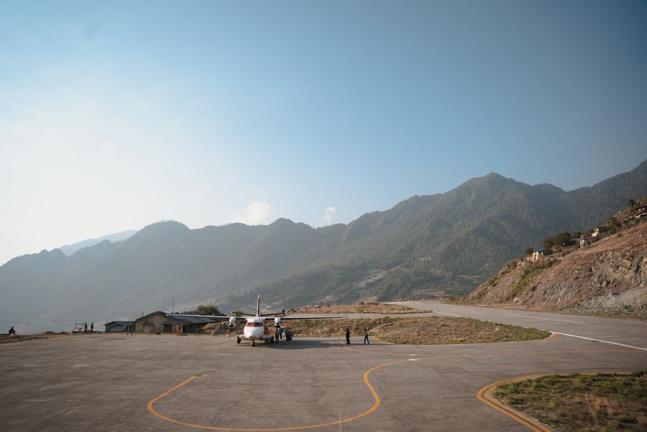
North of the town, the Api Nampa Conservation Area protects one of the most remote and least-trekked high-mountain regions in Nepal, centered on Api (7,132 meters) and Nampa (6,757 meters), peaks that see a fraction of the attention paid to their more famous eastern cousins. We didn’t have the permits or the days for a full trek into the reserve, but a half-day walk up the ridge above town gave us a clear view of Api’s summit pyramid catching the last light, snow blazing orange while the valley below had already gone blue with dusk.
What stayed with me longest was a conversation with a schoolteacher on the bridge, who commuted daily from the Nepali side to teach at a school on the Indian side and back, a routine so unremarkable to her that she seemed genuinely puzzled by our interest in it. Lia asked her what she called home, given the arrangement. She said the word for “here” in her dialect covered both banks equally. I’ve thought about that answer more than almost anything else from the trip.
When to go: October and November bring the clearest views of Api and Nampa and comfortable trekking temperatures. March through May works for lower-altitude walks, though the higher conservation area trails require more planning and typically a registered guide. Monsoon months make the gorge roads unreliable and views nonexistent.